Leica’s high-tech 5

The new Leica Zeno 5 is said to be an entrylevel, rugged personal digital assistant (PDA) for organisations that require a durable compact device with integrated modem and high-sensitive GPS. The Leica Geosystems technology supports field workers by combining a mobile phone with asset collection and management capabilities. The Leica Zeno 5 is said to be shock resistant, withstands a drop from to 1.8m, and is protected against water and dust. The large 9.4cm screen is optimised for sunlight readability and
August 14, 2012 Read time: 2 mins
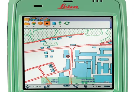
The new 265 Leica Zeno 5 is said to be an entrylevel, rugged personal digital assistant (PDA) for organisations that require a durable compact device with integrated modem and high-sensitive GPS.

The Leica Geosystems technology supports field workers by combining a mobile phone with asset collection and management capabilities. The Leica Zeno 5 is said to be shock resistant, withstands a drop from to 1.8m, and is protected against water and dust. The large 9.4cm screen is optimised for sunlight readability and is said to maintain exceptional clarity in outdoor conditions, including direct sunlight. Field workers can collect features and descriptive information using the in-built, high-sensitive GPS data, attach photos to the collected assets, and synchronise, with high-speed up- and download times, with the office using a single and compact device, all in a full working day without recharging the Zeno 5.

Johannes Hotz, senior product manager at Leica Geosystems, said: “Together with our Zeno Field application, the Zeno 5 provides an easy-to-use, streamlined GIS data collection and management solution. The Zeno Connect, as stand-alone application or SDK, enables our software partners to combine their industry specific solution with our high-accuracy data collection solutions.”

For more information on companies in this article

Related Content

  • Leica launch next generation machine control receiver
    January 6, 2017
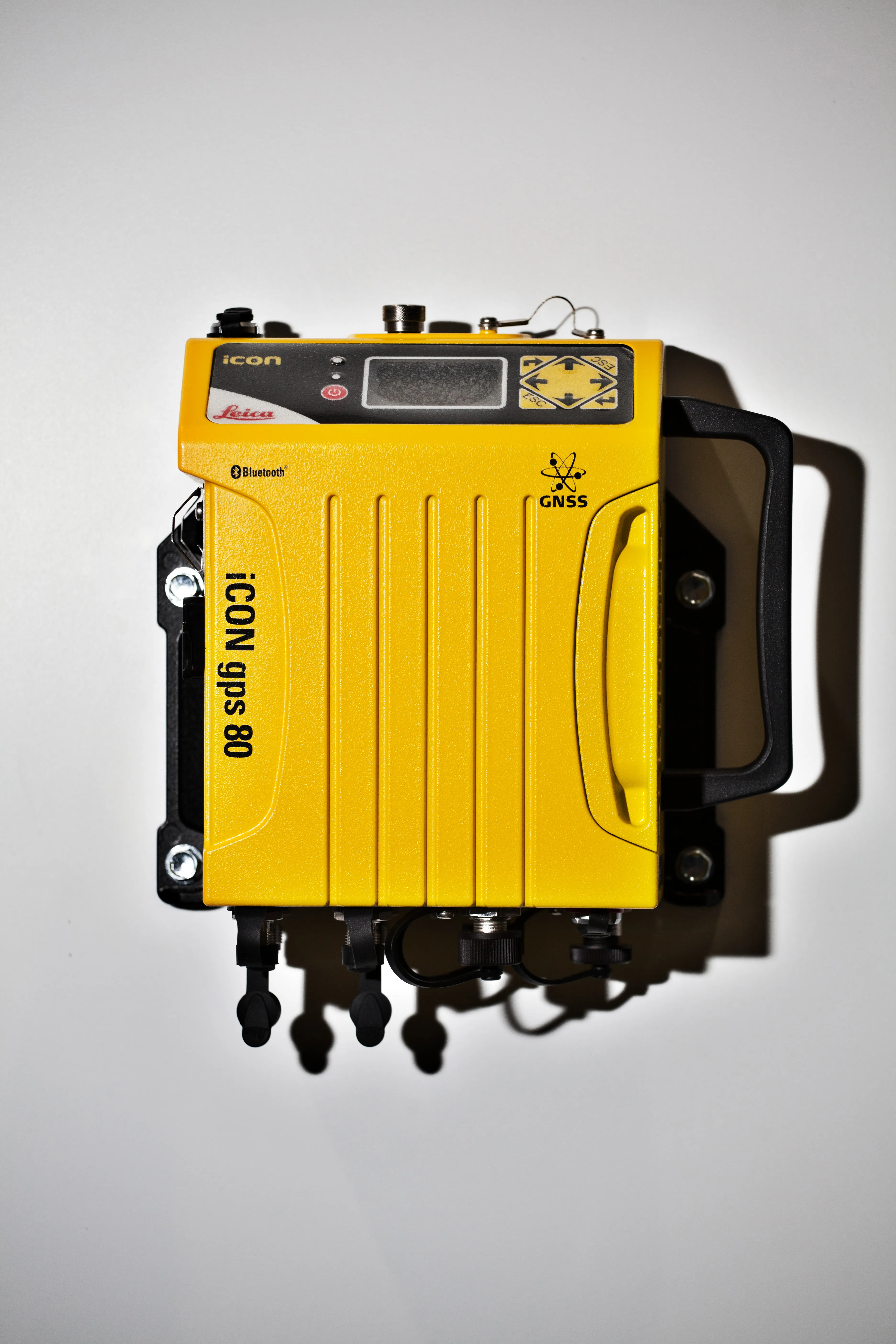
    The Leica iCON gps 80 machine control receiver is a compact and rugged GNSS receiver especially developed for a wide range of machine control applications to increase the overall positioning performance on all construction equipment. It easily and safely fits into any construction machine cabin, communicates seamlessly with all iCONtrol solutions on-site and integrates the iCON telematics fleet management software. The flexible communication provides smooth integration with equipment and solutions for OEM p
  • Leica launch next generation machine control receiver
    March 6, 2014
    The Leica iCON gps 80 machine control receiver is a compact and rugged GNSS receiver especially developed for a wide range of machine control applications to increase the overall positioning performance on all construction equipment. It easily and safely fits into any construction machine cabin, communicates seamlessly with all iCONtrol solutions on-site and integrates the iCON telematics fleet management software. The flexible communication provides smooth integration with equipment and solutions for OEM p
  • Latest innovations in GPS and machine control
    February 22, 2012
    Modern satellite technology is making life easier for everyone on the construction site and in the office. Most major equipment manufacturers are now integrating GPS machine control systems into the design of excavators, bulldozers, pavers, and motor graders. For stake-less work it is a major component for automatic grading, surveying, and excavating systems, with contractors and construction companies using GPS machine control systems to improve operations.
  • Machine control innovations
    February 15, 2012
    THE RECENT CONEXPO-CON/AGG exhibition has seen the launch of a wealth of new machine control technologies - Mike Woof reports A fast pace of technological development in the machine control sector is seeing new innovations come to market at regular intervals. The developments remain focussed on the three main technology suppliers to this market, Leica Geosystems, Topcon and Trimble, offereng a combination of systems using machine control based on GPS, total station, sonic units and industrial inertial gu