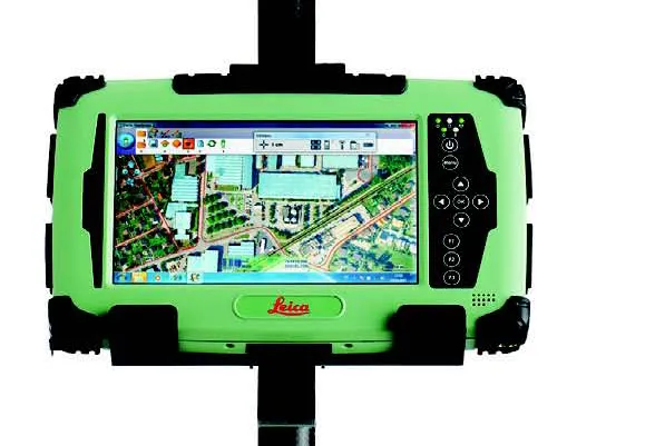
Leica Geosystems has expanded its Leica Viva portfolio with the Leica Viva GS14, said to be an exceptional and deployment versatile GNSS receiver. The Viva GS14 has a compact design with integrated communication devices. Along with the dependable GNSS RTK, the Viva GS14 is said to deliver complete confidence and knowledge in results. Useable as a robust yet lightweight rover and as a base station, Leica’s new GNSS receiver allows users to gain speed and efficiency by reducing the number of setups and contro
The Viva GS14 has a compact design with integrated communication devices. Along with the dependable GNSS RTK, the Viva GS14 is said to deliver complete confidence and knowledge in results.
Useable as a robust yet lightweight rover and as a base station, Leica’s new GNSS receiver allows users to gain speed and efficiency by reducing the number of setups and control points with the innovative SmartStation, and the versatile SmartPole allows instant switching between GNSS and TPS with a simple icon tap.
Able to perform in a temperature range between-40°C to +65 °C the Viva GS14, which became available in December 2012, is said to ensure a flawless performance even in most challenging working environments.
With proven SmartTrack and SmartCheck GNSS technology integrated, the Leica Viva GS14 is said to track signals with the highest quality and constantly evaluates and verifies the RTK solution to ensure the most reliable RTK positions. Together with the innovative Leica xRTK technology, positions can be delivered in difficult GNSS environments.
Leica says the Viva GS14 benefits from the company’s advanced Future Proof design, making it ready to receive future satellite signals while also reassuring customers of its long-term effectiveness.