Leica Geosystems’ tools for site monitoring and handling GPR data

Leica Geosystems is offering new tools for construction firms for remote monitoring and for handling data from ground penetrating radar. With the GeoMoS Imaging package, users can stay up-to-date on remote monitoring; the live view allows observation and recording of areas of interest. A joystick provides remote access to the total station so that personnel can increase productivity and reduce time in the field.
October 11, 2017 Read time: 2 mins
265 Leica Geosystems is offering new tools for construction firms for remote monitoring and for handling data from ground penetrating radar.


With the GeoMoS Imaging package, users can stay up-to-date on remote monitoring; the live view allows observation and recording of areas of interest. A joystick provides remote access to the total station so that personnel can increase productivity and reduce time in the field.

The GeoMoS Imaging system offers automated visual inspection and enables remote observation of the site, maximising user output. With the live stream camera and the availability of repeated recorded images, users can obtain a better understanding of a project.

An automatic monitoring cycle combines monitoring data with images. Professionals can export detailed reports to observe changes of ageing infrastructure that allow for better planning.    

For large- or small-scale projects where environmental monitoring is key for safety, GeoMoS Imaging provides solutions designed for harsh and hazardous conditions.

Meanwhile the firm is also offering new utility post-processing software that delivers CAD drawings in less time. The firm says that its DX Office Vision package allows inexperienced CAD users to digitally map detected underground utilities. This utilises ground penetrating radar (GPR) data from the field in a CAD drawing. Users can obtain professional 3D CAD drawings and visualise the detected underground utilities. With DX Office Vision, post-processing for all ground penetrating data requires no add-on or third party software. The package is said to help reduce post-processing time and eliminate steps when converting data or choosing parameters. The software guides the user to create a reliable 3D map of the underground-detected utilities with minimal training.

For more information on companies in this article

Related Content

  • New solutions for 3D concrete paving controls
    February 20, 2012
    In concrete paving, Leica Geosystems has long held the dominant position in the market for stringless 3D controls. The company's products are well-accepted by contractors and have been used on an array of machines from different manufacturers with a high degree of success in recent years. GOMACO has been working with Leica Geosystems for some time and the two companies set up a partnership recently. This combination technology and business relationship has seen the placement of personnel from Leica Geosyste
  • Fast field data collection
    February 10, 2012
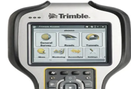
    Trimble's sophisticated TSC3 controller is designed to allow surveyors and geospatial professionals to collect, share and deliver data. This unit is said to improve accuracy, efficiency and productivity between the field and office and is designed to be used with the Trimble Access software. The TSC3 controller offers fast and reliable data collection, computing and connectivity capabilities and provides multiple functions in a single handheld device. The unit incorporates a digital camera, integrated commu
  • Hamm | Self-monitoring in earthworks via Smart Doc
    April 1, 2021
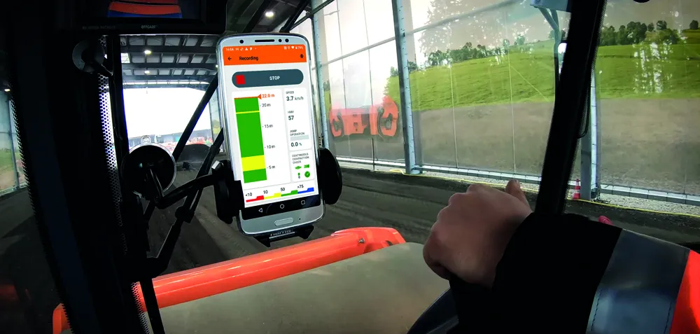
    With Smart Doc, Hamm presents an app with which compaction in earthworks can be transparently documented and the result shared with third parties. The lean app was developed in close coordination with building practitioners. The focus here was on the possibility of self-monitoring when it comes to compaction in earthworks. Smart Doc also fulfils the minimum requirements of continuous compaction control (CCC). With an intuitive user interface, the app also creates added value when training new roller operators, as all relevant compaction parameters are visualised in real time on the smartphone.
  • Work zone safety with SRL's REMOS
    August 11, 2025
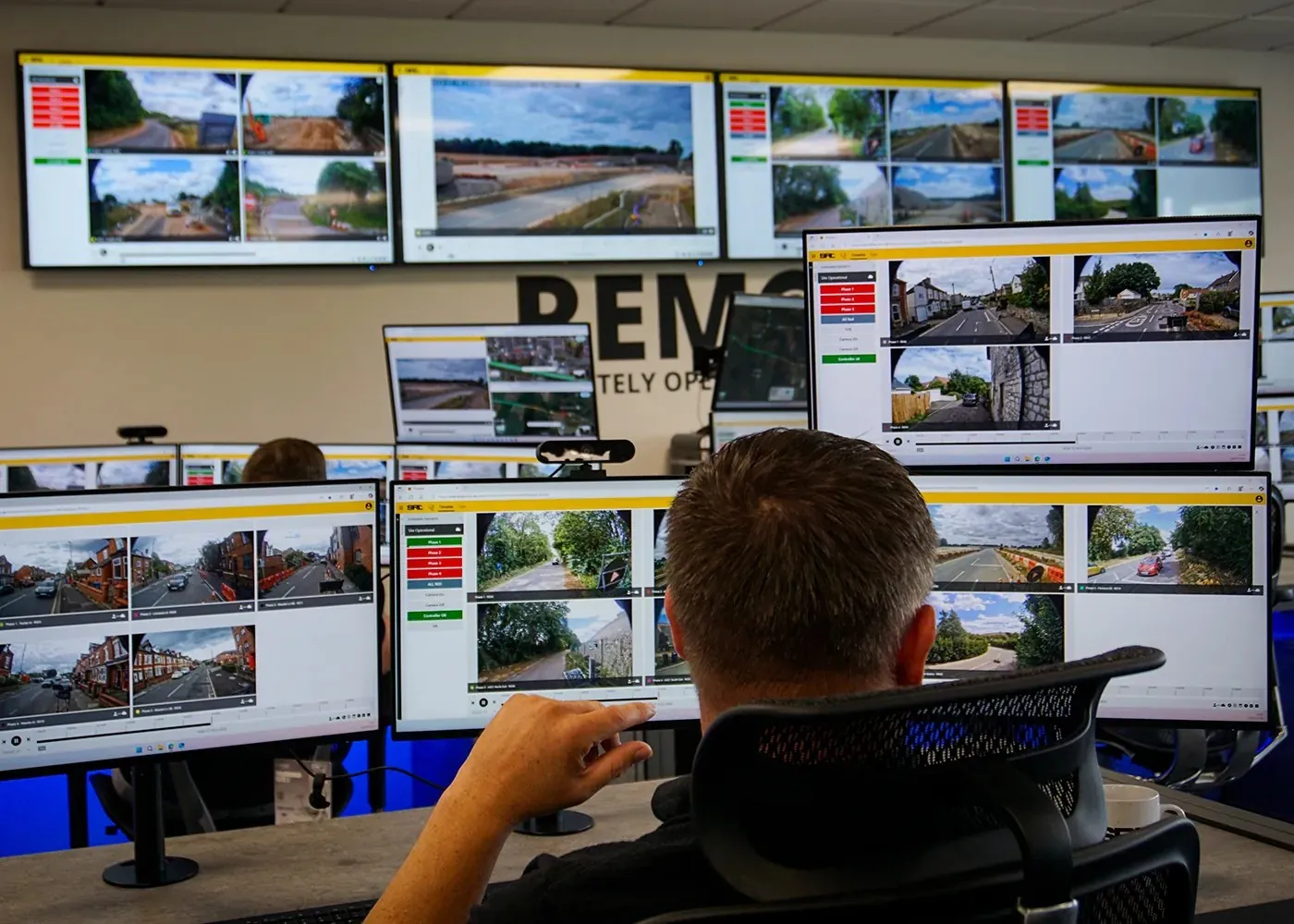
    REMOS allows one person off-site to manage several sites simultaneously, efficiently making interventions to prevent and eliminate bottlenecks.