Leica Geosystems’ tools for site monitoring and handling GPR data

Leica Geosystems is offering new tools for construction firms for remote monitoring and for handling data from ground penetrating radar. With the GeoMoS Imaging package, users can stay up-to-date on remote monitoring; the live view allows observation and recording of areas of interest. A joystick provides remote access to the total station so that personnel can increase productivity and reduce time in the field.
October 11, 2017 Read time: 2 mins
265 Leica Geosystems is offering new tools for construction firms for remote monitoring and for handling data from ground penetrating radar.


With the GeoMoS Imaging package, users can stay up-to-date on remote monitoring; the live view allows observation and recording of areas of interest. A joystick provides remote access to the total station so that personnel can increase productivity and reduce time in the field.

The GeoMoS Imaging system offers automated visual inspection and enables remote observation of the site, maximising user output. With the live stream camera and the availability of repeated recorded images, users can obtain a better understanding of a project.

An automatic monitoring cycle combines monitoring data with images. Professionals can export detailed reports to observe changes of ageing infrastructure that allow for better planning.    

For large- or small-scale projects where environmental monitoring is key for safety, GeoMoS Imaging provides solutions designed for harsh and hazardous conditions.

Meanwhile the firm is also offering new utility post-processing software that delivers CAD drawings in less time. The firm says that its DX Office Vision package allows inexperienced CAD users to digitally map detected underground utilities. This utilises ground penetrating radar (GPR) data from the field in a CAD drawing. Users can obtain professional 3D CAD drawings and visualise the detected underground utilities. With DX Office Vision, post-processing for all ground penetrating data requires no add-on or third party software. The package is said to help reduce post-processing time and eliminate steps when converting data or choosing parameters. The software guides the user to create a reliable 3D map of the underground-detected utilities with minimal training.

For more information on companies in this article

Related Content

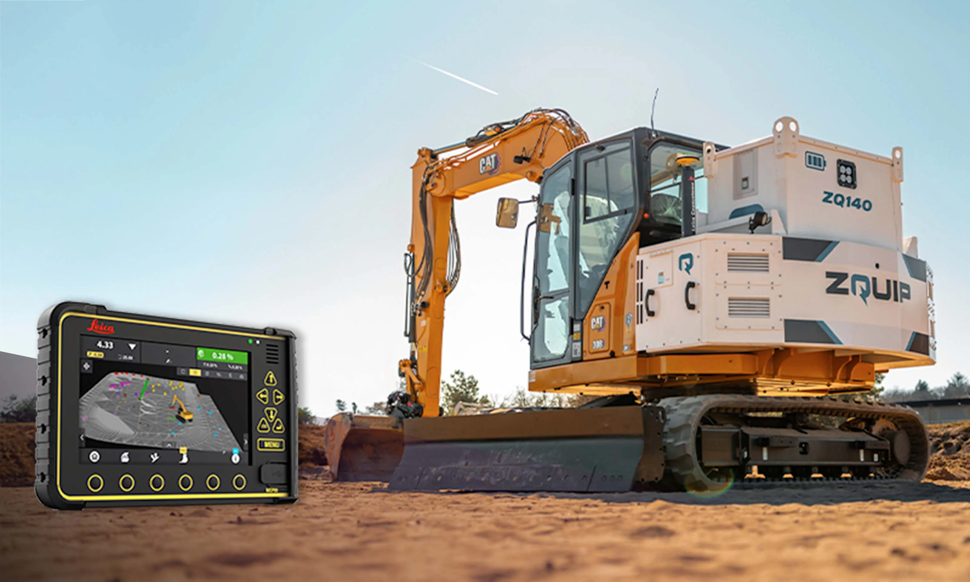
  • Cat 308 in the bag for ZQUIP and Leica
    June 18, 2025


    ZQUIP and Leica Geosystems have collaborated on a prototype 8tonne excavator that is geospatially intelligent and powered by a swappable, zero-emissions battery system.

    The modified CAT 308 concept excavator was successfully tested at a proving ground in France, noted ZQUIP, part of Moog Construction, and Leica Geosystems, part of Hexagon. The smart, clean vehicle is equipped with Leica Geosystems’ advanced machine control solution, which brings real-time data and precise design execution.

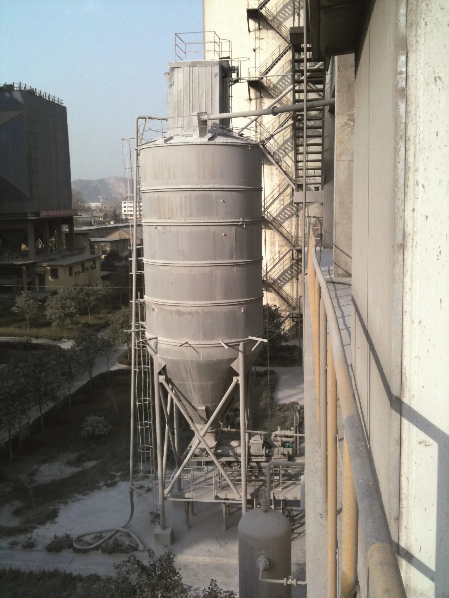
  • Krohne Optiwave 6300 C takes the guesswork out of silo measuring
    August 3, 2017
    A variety of issues affect accurate continuous level measurement inside cement plants. The most critical concerns are dust, heavy build-ups, low-reflective media and uneven surfaces in conical and/or air-injected silos with internal objects. Now, new frequency-modulated continuous-wave – FMCW - radar technology, combined with high signal dynamics, offers a way to accurately and reliably measure product levels.
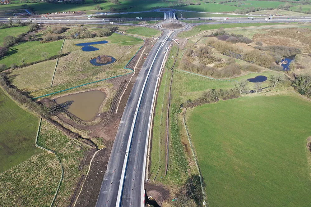
  • The Preston Western Distributor
    September 7, 2023
    Costain, as main contractor for the Preston Western Distributor project, was involved from the earliest stages, thanks to the UK’s Early Contractor Involvement approach. The project was delivered on time and on budget to the benefit of the local environment, local businesses and the region’s workforce. David Arminas reports*
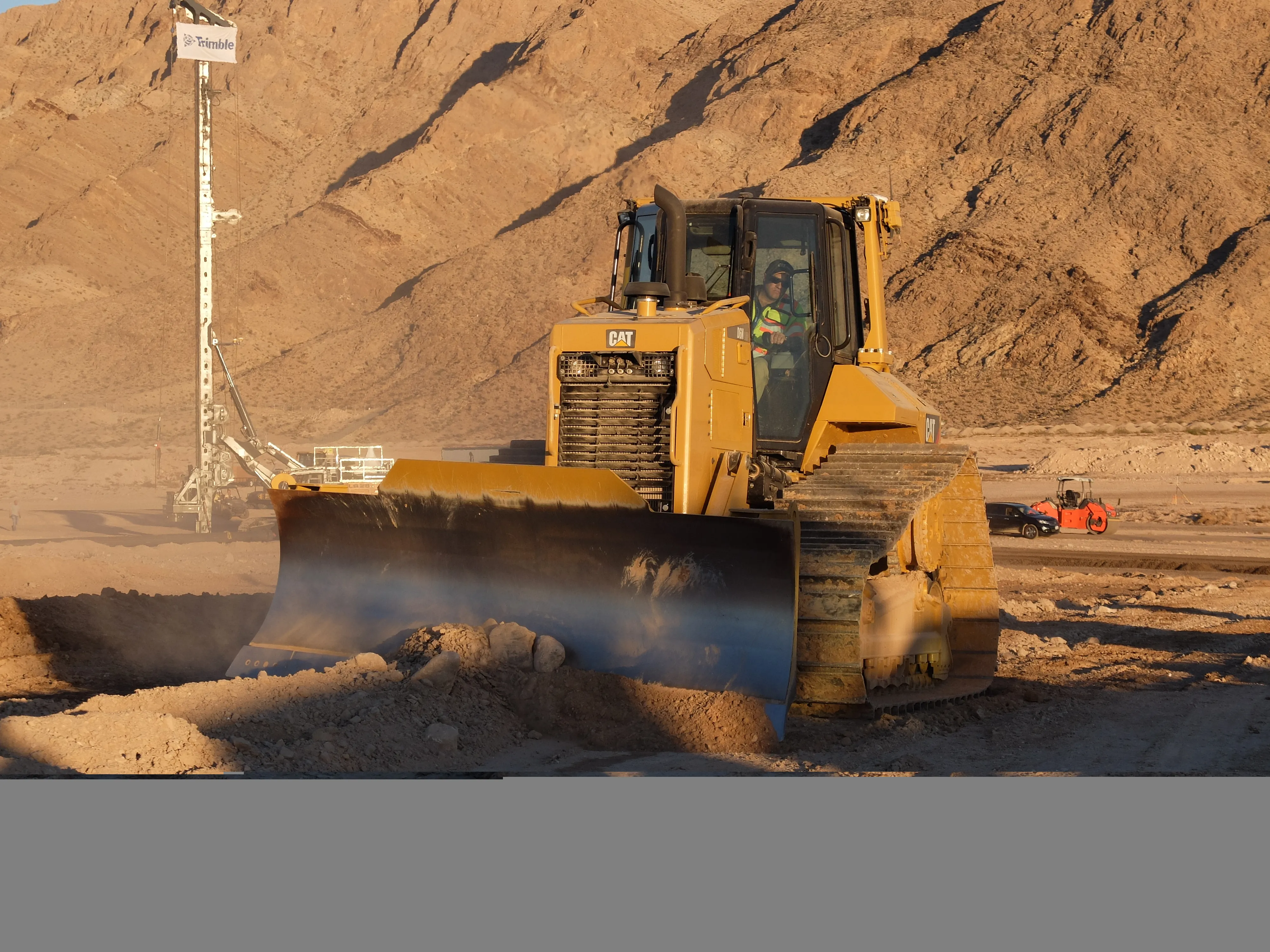
  • Trimble’s latest advance in machine controls
    April 12, 2018
    Trimble is building on proven technology with its latest advances for the machine control segment - Mike Woof writes With new systems coming to market, Trimble is keen to retain its strong position in the machine control segment. The firm is now introducing advanced technology for the bulldozer segment, which utilises similar systems to the Earthworks package unveiled for excavators at the CONEXPO show in early 2017. Eric Crim is product manager for machine control systems in Trimble's heavy & highway