Leica Geosystems’ tools for site monitoring and handling GPR data

Leica Geosystems is offering new tools for construction firms for remote monitoring and for handling data from ground penetrating radar. With the GeoMoS Imaging package, users can stay up-to-date on remote monitoring; the live view allows observation and recording of areas of interest. A joystick provides remote access to the total station so that personnel can increase productivity and reduce time in the field.
October 11, 2017 Read time: 2 mins
265 Leica Geosystems is offering new tools for construction firms for remote monitoring and for handling data from ground penetrating radar.


With the GeoMoS Imaging package, users can stay up-to-date on remote monitoring; the live view allows observation and recording of areas of interest. A joystick provides remote access to the total station so that personnel can increase productivity and reduce time in the field.

The GeoMoS Imaging system offers automated visual inspection and enables remote observation of the site, maximising user output. With the live stream camera and the availability of repeated recorded images, users can obtain a better understanding of a project.

An automatic monitoring cycle combines monitoring data with images. Professionals can export detailed reports to observe changes of ageing infrastructure that allow for better planning.    

For large- or small-scale projects where environmental monitoring is key for safety, GeoMoS Imaging provides solutions designed for harsh and hazardous conditions.

Meanwhile the firm is also offering new utility post-processing software that delivers CAD drawings in less time. The firm says that its DX Office Vision package allows inexperienced CAD users to digitally map detected underground utilities. This utilises ground penetrating radar (GPR) data from the field in a CAD drawing. Users can obtain professional 3D CAD drawings and visualise the detected underground utilities. With DX Office Vision, post-processing for all ground penetrating data requires no add-on or third party software. The package is said to help reduce post-processing time and eliminate steps when converting data or choosing parameters. The software guides the user to create a reliable 3D map of the underground-detected utilities with minimal training.

For more information on companies in this article

Related Content

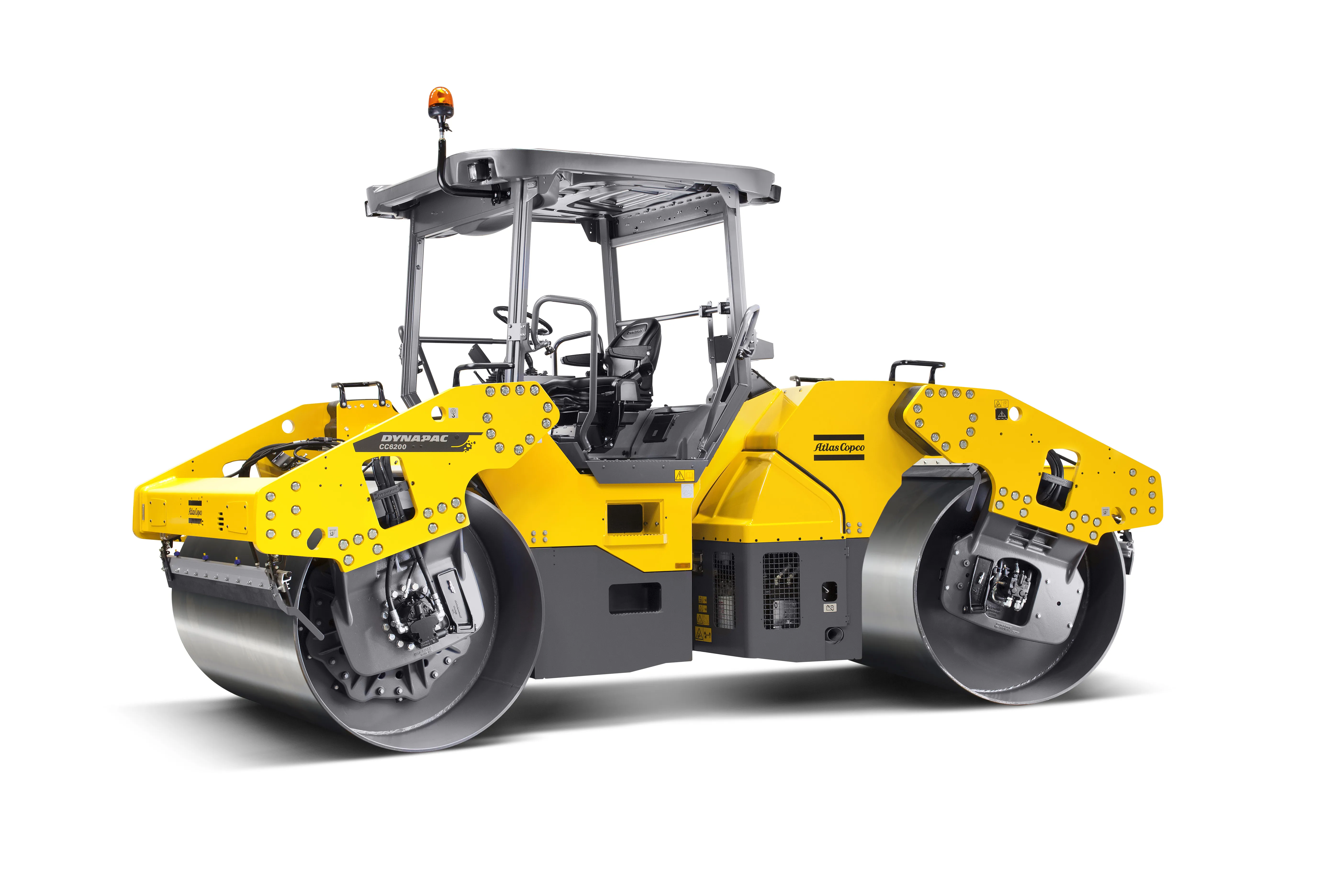
  • Intelligence built in to Dynapac machines
    January 16, 2017
    The highly sophisticated Fleetlink telematics system developed is now being offered across the road machine range. The system allows users to optimise fleet usage and reduce maintenance costs, boosting overall efficiency and fleet management and increasing uptime and productivity.
  • Infrastructure monitoring data acquisition
    February 3, 2017
    The first prototype of an innovative new sensor device and its data acquisition system has now been developed. This move has come during the first 18 months of the 42-month Horizon 2020 SENSKIN (SENsing SKIN) project, a research partnership being implemented by 13 partners from 7 countries. A key objective of the SENSKIN project is the development of a skin-like sensor that offers spatial sensing and can monitor large strains, for use in monitoring-based maintenance of transport infrastructure. The syste
  • Arizona uses 1Spatial for inventory for the FHWA requirements
    February 6, 2017
    The US state of Arizona is using 1Spatial’s technology to send a yearly update of its entire road network to the Federal Highway Administration. As required by law, all state governments must do this and many have created a data set of their road network. But much of this is held at county level. The challenge, now that data has been collected, is how to keep this information up-to-date and accurate. 1Spatial software will automate the data validation process and also the change process. The technology w
  • Volvo CE’s mobile machine communications advance
    June 14, 2018
    Volvo CE is working on an innovative machine communications technology system. This development will help with the operation of autonomous machines, allowing remote control and operation even when equipment is in use as much as 400m underground. The aim of the development project is to boost safety, productivity and efficiency. The firm is using 5G communications technology in trials being carried out in partnership with communications specialist Telia. The trials are being run at a test facility in Eskils