Leica Geosystems’ tools for site monitoring and handling GPR data

Leica Geosystems is offering new tools for construction firms for remote monitoring and for handling data from ground penetrating radar. With the GeoMoS Imaging package, users can stay up-to-date on remote monitoring; the live view allows observation and recording of areas of interest. A joystick provides remote access to the total station so that personnel can increase productivity and reduce time in the field.
October 11, 2017 Read time: 2 mins
265 Leica Geosystems is offering new tools for construction firms for remote monitoring and for handling data from ground penetrating radar.


With the GeoMoS Imaging package, users can stay up-to-date on remote monitoring; the live view allows observation and recording of areas of interest. A joystick provides remote access to the total station so that personnel can increase productivity and reduce time in the field.

The GeoMoS Imaging system offers automated visual inspection and enables remote observation of the site, maximising user output. With the live stream camera and the availability of repeated recorded images, users can obtain a better understanding of a project.

An automatic monitoring cycle combines monitoring data with images. Professionals can export detailed reports to observe changes of ageing infrastructure that allow for better planning.    

For large- or small-scale projects where environmental monitoring is key for safety, GeoMoS Imaging provides solutions designed for harsh and hazardous conditions.

Meanwhile the firm is also offering new utility post-processing software that delivers CAD drawings in less time. The firm says that its DX Office Vision package allows inexperienced CAD users to digitally map detected underground utilities. This utilises ground penetrating radar (GPR) data from the field in a CAD drawing. Users can obtain professional 3D CAD drawings and visualise the detected underground utilities. With DX Office Vision, post-processing for all ground penetrating data requires no add-on or third party software. The package is said to help reduce post-processing time and eliminate steps when converting data or choosing parameters. The software guides the user to create a reliable 3D map of the underground-detected utilities with minimal training.

For more information on companies in this article

Related Content

  • SICK’s LMS 1000 and RMS 1000 sensors deliver the goods
    January 7, 2019
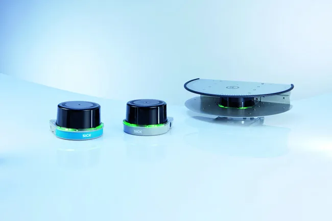
    SICK says that it’s recently launched LMS1000 and MRS1000 infrared LiDAR sensors deliver more accurate and reliable distance sensing and measurement, especially in difficult conditions. The robust, compact sensors weigh just 1.2kg and come with rotatable connectors for easy mounting on gantries. Heavy rain, mist, dust or snow can lead to false signals, explained Neil Sandhu, SICK’s national product manager for imaging, measurement, ranging and systems. The addition of SICK’s triple-echo HDDM+ - High Defini
  • Improving road asset monitoring with TRL
    September 24, 2023

    TRL Software has rolled out a new digital pavement asset management system for National Highways (NH) called P-AMS. The new P-AMS system is a customised for NH version of TRL Software's cloud-based digital product iROADS, which is a commercially available off-the-shelf platform designed for various infrastructure assets. 

  • New radio wave technology assesses asphalt integrity
    March 14, 2017
    Real time information on asphalt density and uniformity can boost construction quality - *Roger Roberts, GSSI. Properly compacted asphalt is a major factor in the lifespan of a road, as inadequately compacted asphalt deteriorates at a more rapid rate than properly compacted material. With the billions spent on road construction and repairs each year, it has become a matter of urgency to find new technologies that can ensure the integrity of asphalt on newly paved roads. New radio wave technology is now avai
  • Road Markings to reduce fatal wrong-way driving
    October 31, 2012
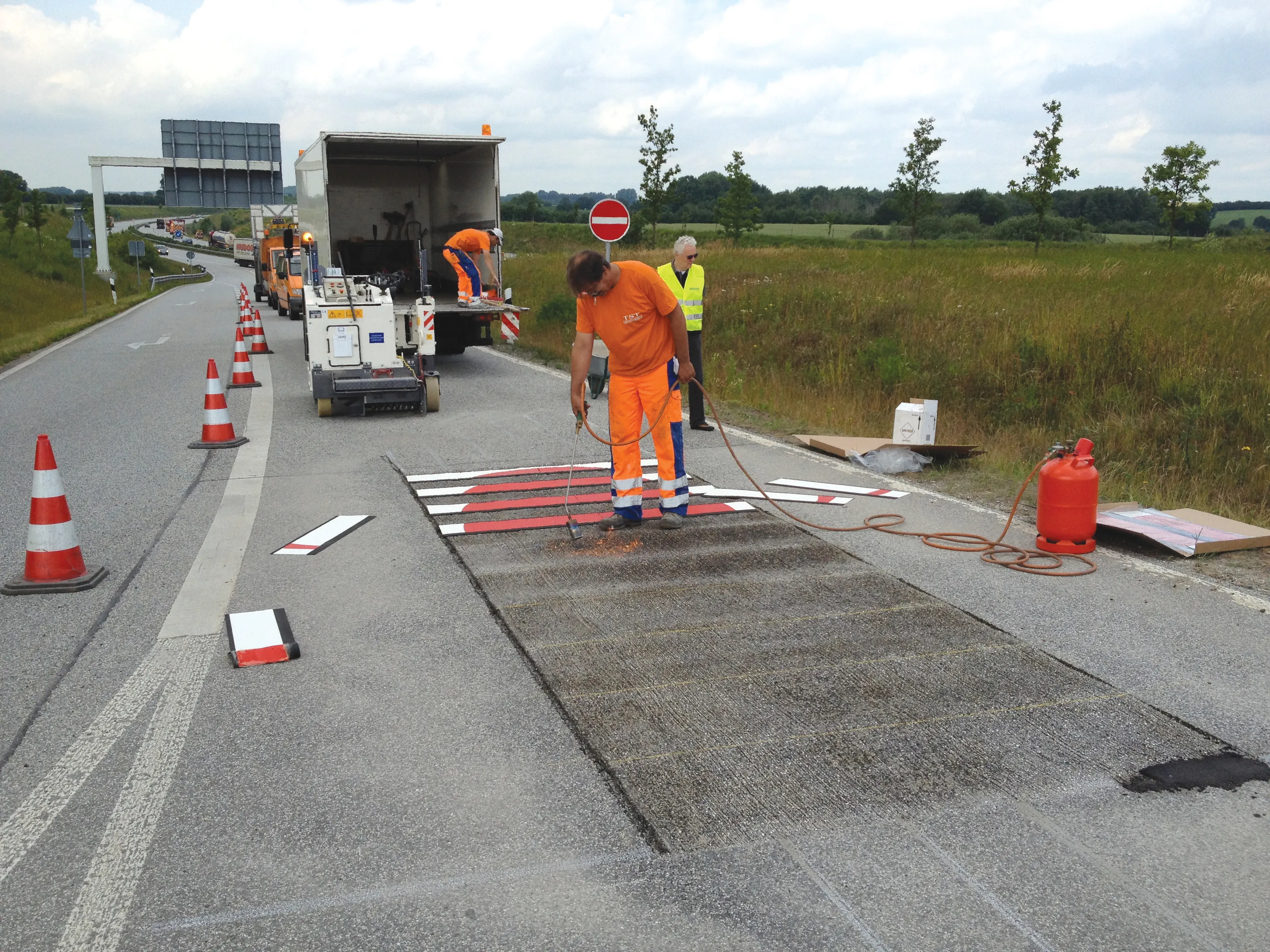
    The latest road marking systems have been used to reduce potentially fatal wrong-way driving and promote the recent EURO 2012 football tournament in Poland and Ukraine. Guy Woodford reports According to statistics quoted by leading road marking firm Geveko, a total of 1,753 people were killed in the United States in wrong-way driving accidents from1996-2000. Wrong-way driving is also a significant issue across Europe and other parts of the world. Work to combat the potentially lethal activity took place re