Leica Geosystems’ tools for site monitoring and handling GPR data

Leica Geosystems is offering new tools for construction firms for remote monitoring and for handling data from ground penetrating radar. With the GeoMoS Imaging package, users can stay up-to-date on remote monitoring; the live view allows observation and recording of areas of interest. A joystick provides remote access to the total station so that personnel can increase productivity and reduce time in the field.
October 11, 2017 Read time: 2 mins
265 Leica Geosystems is offering new tools for construction firms for remote monitoring and for handling data from ground penetrating radar.


With the GeoMoS Imaging package, users can stay up-to-date on remote monitoring; the live view allows observation and recording of areas of interest. A joystick provides remote access to the total station so that personnel can increase productivity and reduce time in the field.

The GeoMoS Imaging system offers automated visual inspection and enables remote observation of the site, maximising user output. With the live stream camera and the availability of repeated recorded images, users can obtain a better understanding of a project.

An automatic monitoring cycle combines monitoring data with images. Professionals can export detailed reports to observe changes of ageing infrastructure that allow for better planning.    

For large- or small-scale projects where environmental monitoring is key for safety, GeoMoS Imaging provides solutions designed for harsh and hazardous conditions.

Meanwhile the firm is also offering new utility post-processing software that delivers CAD drawings in less time. The firm says that its DX Office Vision package allows inexperienced CAD users to digitally map detected underground utilities. This utilises ground penetrating radar (GPR) data from the field in a CAD drawing. Users can obtain professional 3D CAD drawings and visualise the detected underground utilities. With DX Office Vision, post-processing for all ground penetrating data requires no add-on or third party software. The package is said to help reduce post-processing time and eliminate steps when converting data or choosing parameters. The software guides the user to create a reliable 3D map of the underground-detected utilities with minimal training.

For more information on companies in this article

Related Content

  • Trimble’s new technology helps optimise operations
    March 8, 2014
    Trimble is offering the integration of LOADRITE X2350 excavator scales and L2180 wheel loader scales with its latest management software. LOADRITE weighing systems help increase productivity and efficiency for excavator and wheel loader operations, allowing material movements to be tracked and creating more efficient loading.
  • Topcon’s new total station offers increased imaging duties
    January 6, 2017
    A powerful new geodetic reference receiver from Topcon is said to offer improved performance over earlier versions. This new motorised total station now comes with the addition of imaging capability. The DS-200i is said to offer real-time, touch-screen video and photo imaging to capture measured positions. It is equipped with a 5MP camera. The firm says that equipped with its MAGNET software, the tool has an intuitive interface to assist when staking out complex structures. The DS-200i has been designed so
  • Topcon’s new total station offers increased imaging duties
    February 2, 2015
    A powerful new geodetic reference receiver from Topcon is said to offer improved performance over earlier versions. This new motorised total station now comes with the addition of imaging capability. The DS-200i is said to offer real-time, touch-screen video and photo imaging to capture measured positions. It is equipped with a 5MP camera. The firm says that equipped with its MAGNET software, the tool has an intuitive interface to assist when staking out complex structures. The DS-200i has been designed so
  • Ver-Mac launches the cloud-based WZMC-1000 work zone camera system
    May 18, 2018
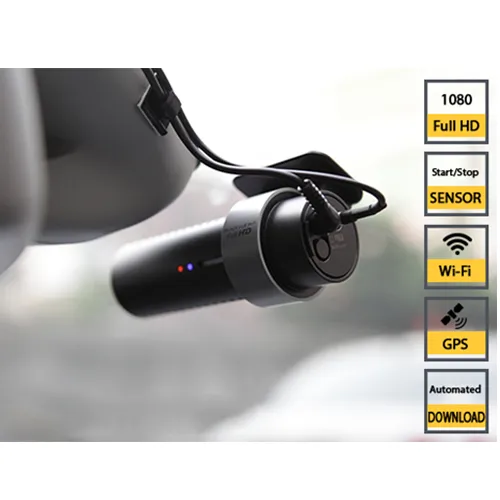
    Ver-Mac has launched the WZMC-1000, a fully-automated cloud-based work zone camera system. It comes with an integrated GPS, as well as integrated wifi, a proximity sensor to start-stop recording and voice feedback. The Canadian company, based in Quebec City, says that the easy-to-use low-cost high-definition system allows contractors and agencies a tool to document their projects with very minimal management. It provides high-quality videos along with automatic video transfer and cloud-based storage.