Leica Geosystems’ tools for site monitoring and handling GPR data

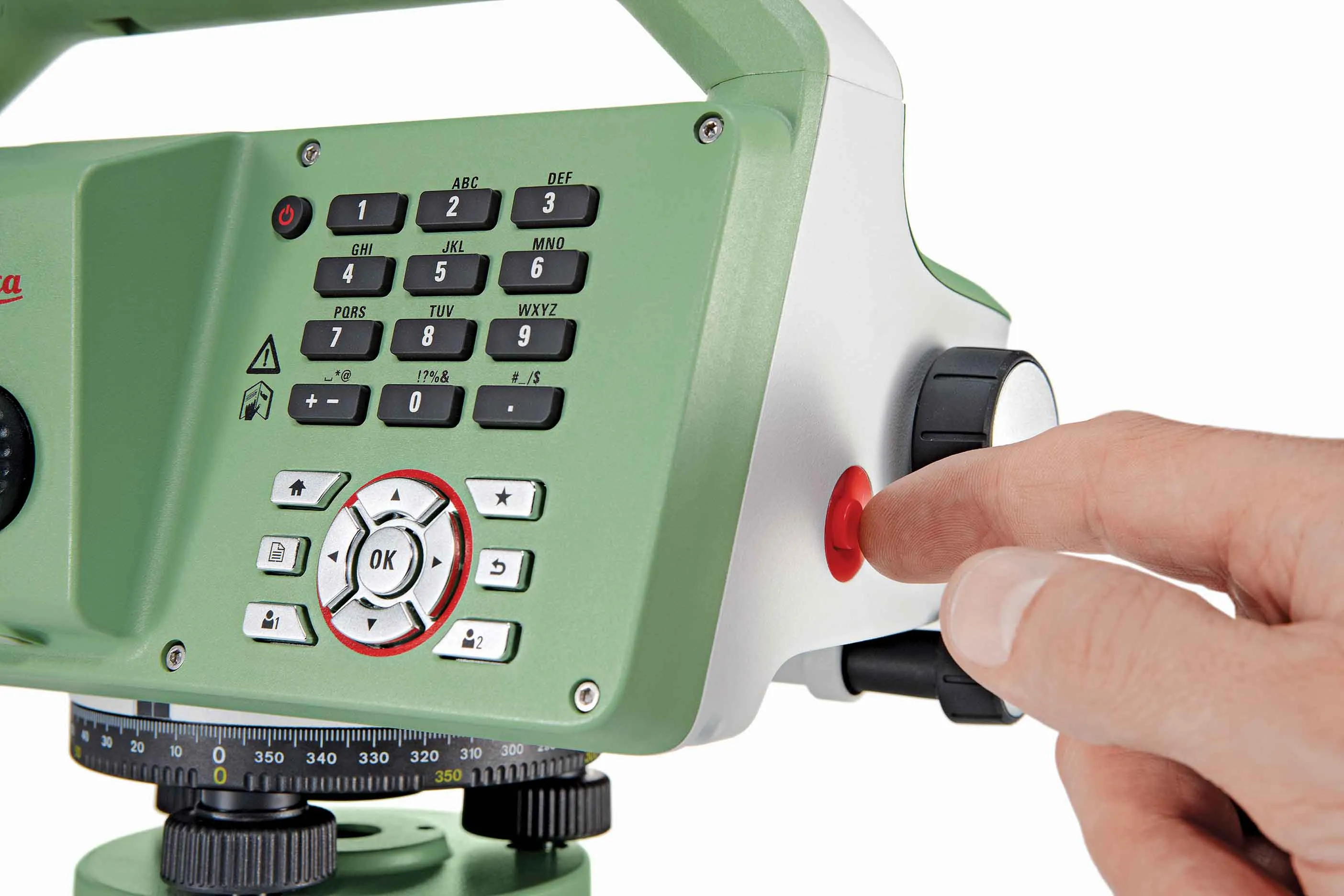
Leica Geosystems is offering new tools for construction firms for remote monitoring and for handling data from ground penetrating radar. With the GeoMoS Imaging package, users can stay up-to-date on remote monitoring; the live view allows observation and recording of areas of interest. A joystick provides remote access to the total station so that personnel can increase productivity and reduce time in the field.
October 11, 2017 Read time: 2 mins
265 Leica Geosystems is offering new tools for construction firms for remote monitoring and for handling data from ground penetrating radar.


With the GeoMoS Imaging package, users can stay up-to-date on remote monitoring; the live view allows observation and recording of areas of interest. A joystick provides remote access to the total station so that personnel can increase productivity and reduce time in the field.

The GeoMoS Imaging system offers automated visual inspection and enables remote observation of the site, maximising user output. With the live stream camera and the availability of repeated recorded images, users can obtain a better understanding of a project.

An automatic monitoring cycle combines monitoring data with images. Professionals can export detailed reports to observe changes of ageing infrastructure that allow for better planning.    

For large- or small-scale projects where environmental monitoring is key for safety, GeoMoS Imaging provides solutions designed for harsh and hazardous conditions.

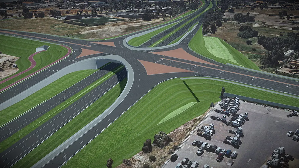
Meanwhile the firm is also offering new utility post-processing software that delivers CAD drawings in less time. The firm says that its DX Office Vision package allows inexperienced CAD users to digitally map detected underground utilities. This utilises ground penetrating radar (GPR) data from the field in a CAD drawing. Users can obtain professional 3D CAD drawings and visualise the detected underground utilities. With DX Office Vision, post-processing for all ground penetrating data requires no add-on or third party software. The package is said to help reduce post-processing time and eliminate steps when converting data or choosing parameters. The software guides the user to create a reliable 3D map of the underground-detected utilities with minimal training.

For more information on companies in this article

Related Content

  • Rapid adoption of GPS machine control
    February 10, 2012
    The high sophistication of GPS machine control systems has resulted in a fast pace of technological advancement. The three major players in the machine control sector, Leica Geosystems, Topcon and Trimble have all made major gains in recent years. The sophistication of the latest systems can combine satellite position data from the GPS and GLONASS networks with information from total stations to provide precise, high speed machine operation. Further more the firms have also prepared themselves for the intro
  • Faster surveying with Leica Geosystems
    June 16, 2016
    Leica Geosystems says that the new LS15 tool can be used to complete all the key stages for levelling. The system has a high accuracy of 0.2mm, which can be achieved by aiming at the target via the colour touch display and pressing the measuring button. Key working features include an electronic bubble and tilt checks prior to each measurement and autofocus. These are said to help to reduce fatigue over a shift and help minimise the risk of working errors, ensuring consistently high accuracy of measureme
  • Bentley is building its software solutions portfolio
    May 14, 2015
    Bentley Systems continues to develop its portfolio of software solutions - Mike Woof writes One of the leaders in the field of construction software, Bentley Systems is developing its array of solutions for industry users. The company is growing both by acquisition and organically, using its financial strength to buy up smaller niche firms as well as developing the capabilities of its in-house software further. The company has recently made three key acquisitions, for EADOC, Acute3D and C3global. The
  • Digital transformation is delivering digital adoption
    August 15, 2023
    Digital transformation is key for transportation agencies and their partners to do their jobs better and faster. One way to do this is through digital delivery using digital models, data, and supporting field tools for roadway design, structures design, and construction, say the tech experts at Bentley Systems.