An array of sophisticated machine control and surveying tools are coming to market from Leica Geosystems. One of the key developments is an addition to its iCON range in the form of its iCONtrol package. The firm says that this offers contractors a portfolio of powerful machine control solutions that can communicate with iCONstruct sensors on site and the iCON office software. This customisable and versatile solution suits use in grading and excavating segment and can be used as a control system for constru
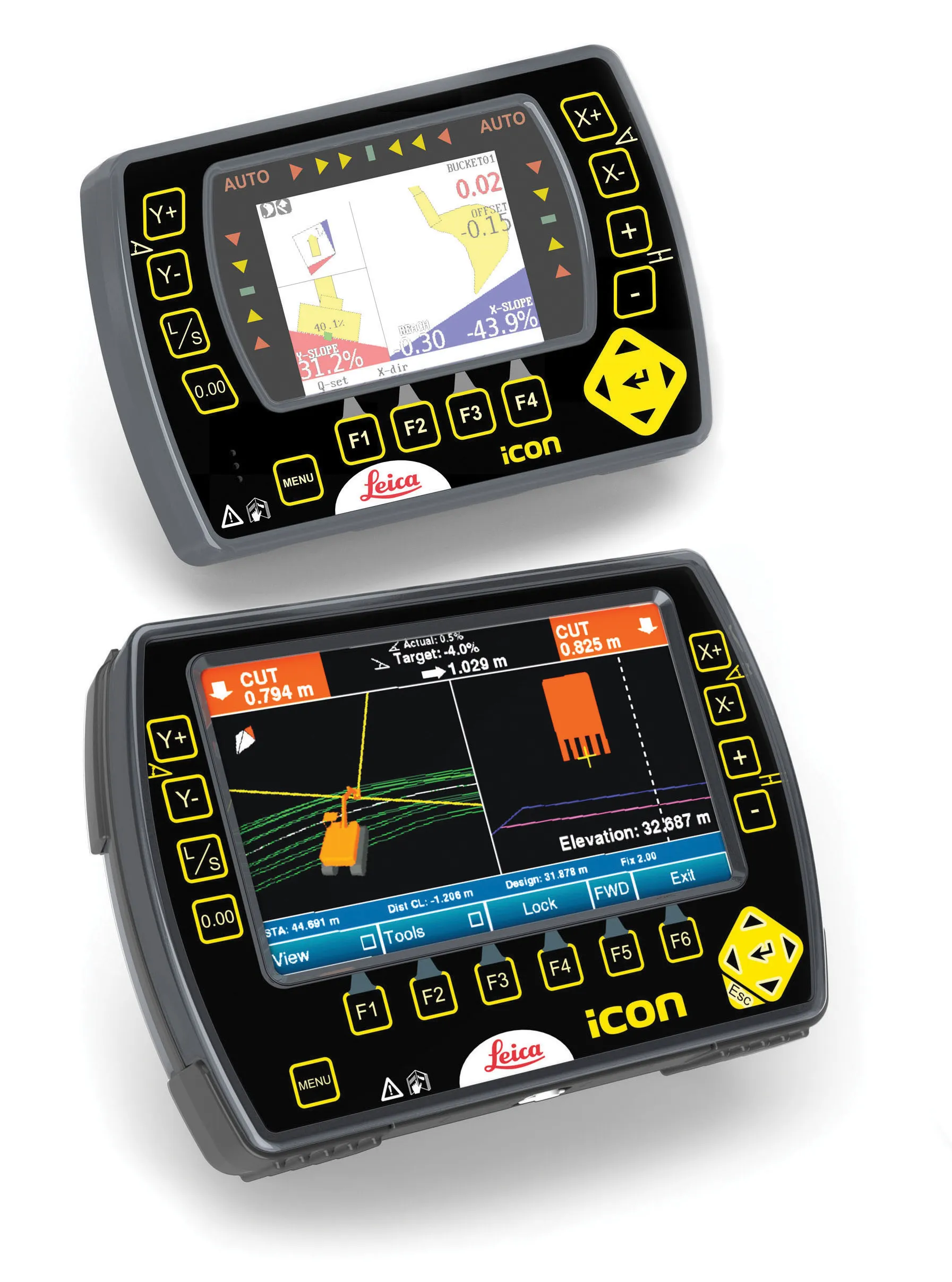
An array of sophisticated machine control and surveying tools are coming to market from 265 Leica Geosystems. One of the key developments is an addition to its iCON range in the form of its iCONtrol package. The firm says that this offers contractors a portfolio of powerful machine control solutions that can communicate with iCONstruct sensors on site and the iCON office software. This customisable and versatile solution suits use in grading and excavating segment and can be used as a control system for construction machinery allowing a streamlined workflow and data handling. Both iCON excavate and iCON grade provide specific panels for use in 2D and 3D applications while the system can be upgraded using the PowerSnap panel system in either 2D or 3D applications.
Increased capabilities are claimed for the improved Leica GNSS Spider software version 4.3. This scalable and modular package can be tailored to suit various GNSS surveying, machine control and GIS applications. One of the major upgrades is the added support for the new Leica GM10 GNSS monitoring receiver with integrated communication and onboard tools.
The Leica Zeno GG03 is an upgradable GNSS SmartAntenna for accurate and reliable positioning and connects to all Leica Zeno GIS handhelds and tablet devices. This allows field workers to select the most suitable solution for a wide range of applications. The Zeno GG03 has been designed to deliver high GNSS tracking performance in tough environments and offers versatility as well as accuracy.
In addition, Leica Geosystems is now offering its smallest and lightest cable-free high-accuracy GNSS system. Lightweight and compact, the Leica Viva GS08plus offers versatile set-up options and is equipped with the easy-to-use Leica SmartWorx Viva LT onboard software. Together with the Leica Viva CS10 controller, the compact Leica Viva GS08plus SmartAntenna is said to be the smallest and lightest, cable-free high-accuracy GNSS solution. The Leica Viva GS08plus offers versatile wireless RTK communication and set-ups, while the Leica Viva CS10 controller includes mobile broadband for high-speed internet connection to receive RTK corrections. Should no RTK internet corrections be available, the CS10 controller can be equipped with a UHF radio to receive RTK corrections from a local base station. And the Leica Viva GS08plus can also be used as a local base station. The onboard software is said to allow users to complete survey tasks quickly and easily.