Leica Geosystems says its Leica Captivate Experience creates highly realistic 3D models that enables professionals to capture and manage complex data easily and accurately.
With little more than a swipe, users can now navigate through customisable apps containing information for multiple projects. Advanced lining and coding provide an interactive 3D model where users can zoom, pan and orbit the rendering for optimal viewing and manipulation.
“Leica Geosystems has taken a giant leap forward with Captiv
With little more than a swipe, users can now navigate through customisable apps containing information for multiple projects. Advanced lining and coding provide an interactive 3D model where users can zoom, pan and orbit the rendering for optimal viewing and manipulation.
“Leica Geosystems has taken a giant leap forward with Captivate by resembling a smartphone look and feel,” said ESE Consultants assistant regional director of surveying Shawn Crawford, a professional land surveyor with more than 20 years of experience in the field.
Crawford has beta tested Leica Captivate on the new Leica CS20 controller. He has also simulated field work such as traversing, line coding, 2D and 3D stakeouts, resections, GPS localisations, alignments, stake to DTM, as well as software functionality.
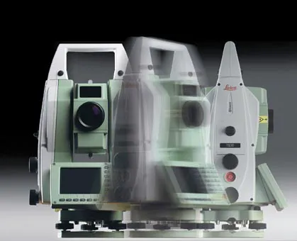
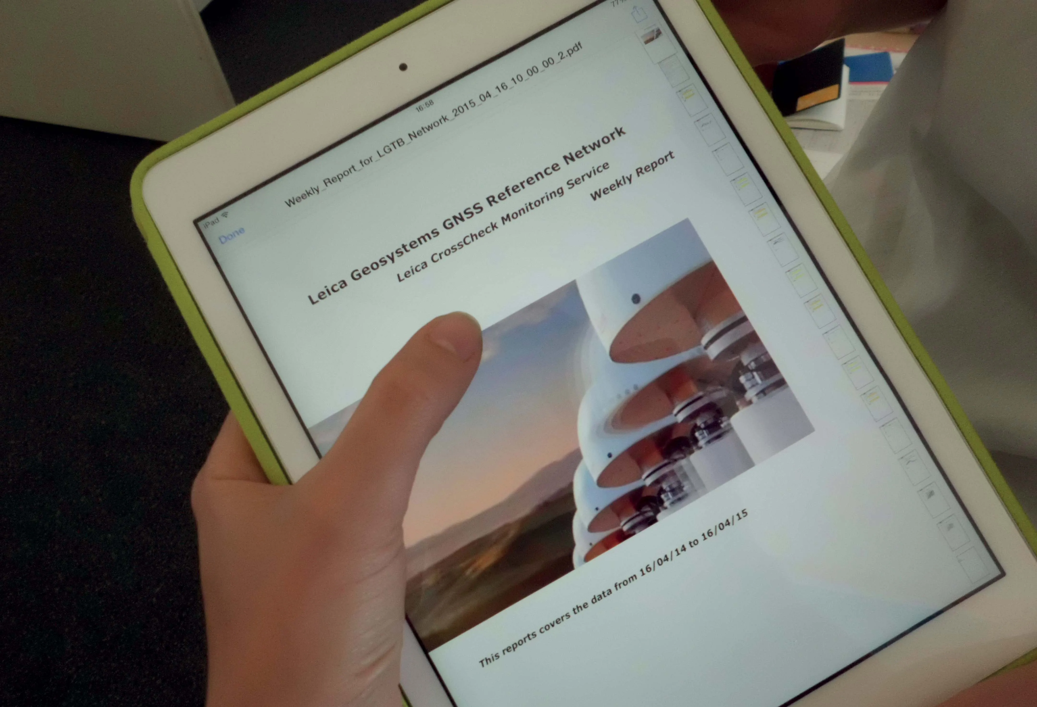
With Leica Captivate on board, the new Leica total stations and MultiStation are optimised with the fifth generation of ATRplus. Leica said these precise instruments increase efficiency and make work faster with the ability to ignore all distractions in the field and remain locked onto the sole target. They learn any environment, deliver accurate positions regardless of the most difficult conditions, and offer the fastest relock in case of interrupted line of sight. Leica has also launched the latest version of the web-based Leica CrossCheck service for GNSS reference station network integrity and deformation monitoring.
Leica said that its CrossCheck now provides innovative data visualisation and customisable reporting for faster and better decision making. It comes with enhanced visualisation and reporting options.
Customisable, automatically generated reports are easily distributed to multiple viewers. Dashboard and status views allow easy and fast interpretation of complex data of reference network coordinates and area deformation.