King of all it surveys

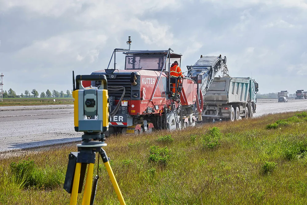
Topcon Europe Positioning has launched a new total station range to its mid-range engineering grade portfolio. Available in three different angular accuracy models (2.54cms, 7.62cms and 12.7cms), and running the latest version of Windows CE 6.0, the OS Series is said by Topcon to redefine this class of optical measuring device.
June 20, 2012 Read time: 2 mins
5962 Topcon Europe Positioning has launched a new total station range to its mid-range engineering grade portfolio. Available in three different angular accuracy models (2.54cms, 7.62cms and 12.7cms), and running the latest version of Windows CE 6.0, the OS Series is said by Topcon to redefine this class of optical measuring device.

Topcon’s innovative LongLinkTM communication system also features on the OS total stations. Its technology uses a long range Class 1 Bluetooth link to enable users to take remote control on the instrument – up to 300metres away. This is said to create the potential for the surveyor on the pole to take full control of the survey, reducing errors and speeding up staking out operations.

Also featuring the same TSshield functionality as the ES Series, the OS uses its telematics module to deploy the same innovative site security features as its sibling instrument. Using the telematics module, a digital code is automatically sent from the remote server to the instrument should it be reported as being missing or stolen. It allows the location of the instrument to be tracked and significantly increases the chances of recovering it.

The OS also runs Topcon’s latest data collection, management and transfer software solution ‘Magnet Onboard’. The innovative solution allows data to be seamlessly transferred to and from remote server locations ensuring that the surveyor or engineer has the very latest version of site drawings, as well as automatically sending new survey data back to base. Topcon’s IACS (Integrated Angular Calibration System) is employed on the 2.54cm instrument, for the ultimate in absolute reliability. It has a prism measurement range of 4,000m with an accuracy of 2mm + 2pmm and an incredible 3mm +2ppm reflectorless measurement pinpointing locations up to 500metres away.

Related Content

  • Rapid adoption of GPS machine control
    February 10, 2012
    The high sophistication of GPS machine control systems has resulted in a fast pace of technological advancement. The three major players in the machine control sector, Leica Geosystems, Topcon and Trimble have all made major gains in recent years. The sophistication of the latest systems can combine satellite position data from the GPS and GLONASS networks with information from total stations to provide precise, high speed machine operation. Further more the firms have also prepared themselves for the intro
  • Runway refurbishment at Leipzig/Halle airport
    May 4, 2022
    Leipzig/Halle airport in Germany is now benefiting from a newly rehabilitated runway as well as a number of taxiways
  • In control, with advanced technology
    August 15, 2019
    Machine control technology continues to advance, with new systems offering contractors major gains in working efficiency The latest developments in machine control technology once again push the bar in terms of advancements. The latest systems allow contractors to work even more effectively and efficiently than before. Doosan has unveiled one of the first uses globally of 5G technology to remotely control construction and quarrying machines. The firm has coined the term ‘TeleOperation’ to describe the
  • Brisbane’s Airport: Innovative Management of One of the World’s Busiest Runways
    June 26, 2014
    When it comes to runways, there are few busier then Brisbane’s main runway. Servicing both domestic and international travel, with over 200,000 movements per year, operating without a curfew Brisbane’s main runway is the busiest in Australia. For maintenance, crews only have a limited period of time to determine the pavement condition, normally during the night, making the detection of pavement faults difficult. To resolve this issue, a new high speed pavement scanner was used to rapidly survey the pavem