King of all it surveys

Topcon Europe Positioning has launched a new total station range to its mid-range engineering grade portfolio. Available in three different angular accuracy models (2.54cms, 7.62cms and 12.7cms), and running the latest version of Windows CE 6.0, the OS Series is said by Topcon to redefine this class of optical measuring device.
June 20, 2012 Read time: 2 mins
5962 Topcon Europe Positioning has launched a new total station range to its mid-range engineering grade portfolio. Available in three different angular accuracy models (2.54cms, 7.62cms and 12.7cms), and running the latest version of Windows CE 6.0, the OS Series is said by Topcon to redefine this class of optical measuring device.

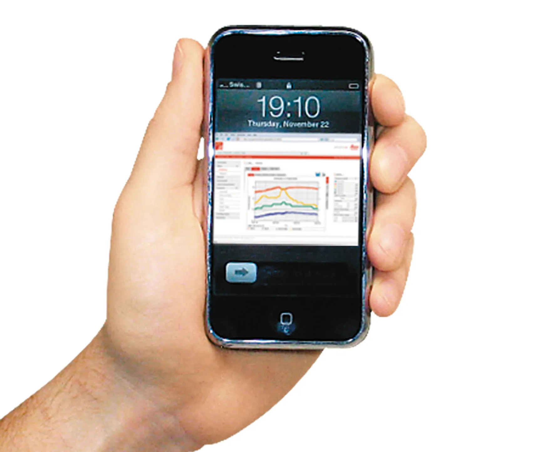
Topcon’s innovative LongLinkTM communication system also features on the OS total stations. Its technology uses a long range Class 1 Bluetooth link to enable users to take remote control on the instrument – up to 300metres away. This is said to create the potential for the surveyor on the pole to take full control of the survey, reducing errors and speeding up staking out operations.

Also featuring the same TSshield functionality as the ES Series, the OS uses its telematics module to deploy the same innovative site security features as its sibling instrument. Using the telematics module, a digital code is automatically sent from the remote server to the instrument should it be reported as being missing or stolen. It allows the location of the instrument to be tracked and significantly increases the chances of recovering it.

The OS also runs Topcon’s latest data collection, management and transfer software solution ‘Magnet Onboard’. The innovative solution allows data to be seamlessly transferred to and from remote server locations ensuring that the surveyor or engineer has the very latest version of site drawings, as well as automatically sending new survey data back to base. Topcon’s IACS (Integrated Angular Calibration System) is employed on the 2.54cm instrument, for the ultimate in absolute reliability. It has a prism measurement range of 4,000m with an accuracy of 2mm + 2pmm and an incredible 3mm +2ppm reflectorless measurement pinpointing locations up to 500metres away.

Related Content

  • Made to Measure laser mapping
    June 15, 2012
    Dutch surveying company Geomaat says it is taking millimetre accurate measurements in record time to aid a range of highway design, construction and maintenance projects. Using the mobile laser mapping system StreetMapper, and specially developed point cloud software, Geomaat says it can calculate highly accurate cutting, milling and asphalt figures, create as built models and undertake change detection.
  • Made to Measure laser mapping
    June 26, 2012
    Dutch surveying company Geomaat says it is taking millimetre accurate measurements in record time to aid a range of highway design, construction and maintenance projects. Using the mobile laser mapping system StreetMapper, and specially developed point cloud software, Geomaat says it can calculate highly accurate cutting, milling and asphalt figures, create as built models and undertake change detection.
  • Positioning tools continue to improve
    July 16, 2012
    Topcon says that its new IP-S2 package combines GNNS positioning capabilities with inertial sensors, while the firm also has a solution for customers wanting to mix and match receiver components. The IP-S2 is a vehicle-mounted, mobile 3D tool that offers precision mapping and surveying capabilities. The package collects data using 3D laser scanners, LIDAR, and/or cameras, and this is then integrated, time-stamped and geo-referenced. The customer can use this assembled data to combine LIDAR point cloud and d
  • SICK launches 3D TIC502 LiDAR sensor system for traffic management
    May 18, 2018
    Sick says that its latest TIC502 twin LiDAR sensor system has high all-weather capability between -40OC and +60OC. The TIC502 incorporates vehicle speed detection with 3D profiling and counting of fast-lane, free flowing and static traffic to facilitate toll charge assessment. It can also be integrated with additional 2D LiDAR sensors to count axles for complete traffic profiling and assessment in a single system, according to the company that was set up in 1946 by optical engineer Erwin Sick in Waldkir