Keeping in touch

Leica Geosystems says that its latest package offers an efficient solution for monitoring communications. The updated GeoMoS v5.1 monitoring software features M-Com, which can integrate total stations, GNSS receivers and antennae, geotechnical sensors, software, and IT communication infrastructure. In addition the revised Leica GeoMoS v5.1 also supports the latest Microsoft Windows 7 operating system. The firm says that this package is easy to install and use, while increasing the mobility of periodic or sh
February 6, 2012 Read time: 2 mins
A sophisticated communications package for remote equipment is available from Leica Geosystems
265 Leica Geosystems says that its latest package offers an efficient solution for monitoring communications. The updated GeoMoS v5.1 monitoring software features M-Com, which can integrate total stations, GNSS receivers and antennae, geotechnical sensors, software, and IT communication infrastructure. In addition the revised Leica GeoMoS v5.1 also supports the latest 2794 Microsoft Windows 7 operating system. The firm says that this package is easy to install and use, while increasing the mobility of periodic or short term monitoring systems. The Leica ComBox can link sensors in the field to the office using mobile internet using a PC with dedicated monitoring software. All types of different sensors are supported by the new communication box. Both communication boxes consist of a compact outdoor housing with a lock system and wall brackets for mounting. An optional component of Leica M-Com is the MonBox30, an energy-efficient Intel -based mini-industrial computer with a robust housing and pre-installed Leica GeoMoS monitoring software. This device can ensure that monitoring will continue in the event of a loss of communication.

For more information on companies in this article

Related Content

  • A new grader and dozer control system is offered by MOBA
    February 8, 2013
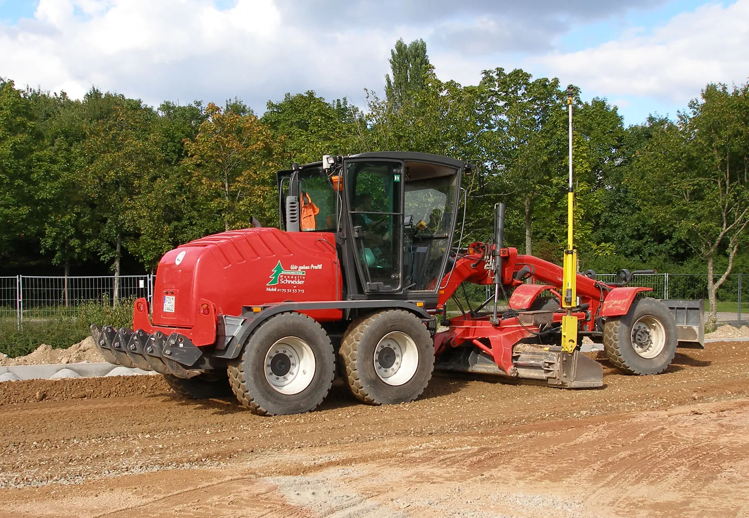
    MOBA is offering a sophisticated control system for use with bulldozers and graders available in both 2D and 3D format. The company says that its 3D-matic package offers precise and versatile levelling control for graders and dozers and which can also be used as a 2D system if necessary. Marketing manager Christine Seidel said, “This system moves the blade. Our mindset is to make it easy to use for the operator. It’s different from the competition which focus on tonnages as this is focussed on the machine a
  • Soil compaction efficiency boost from Trimble
    August 24, 2021
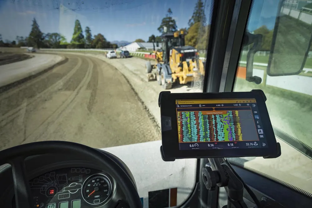
    Trimble claims that its new Earthworks Grade Control Platform version 2.4 soil compactor package offers a major gain in working efficiency
  • Paving control package for concrete or asphalt pavers
    March 16, 2012
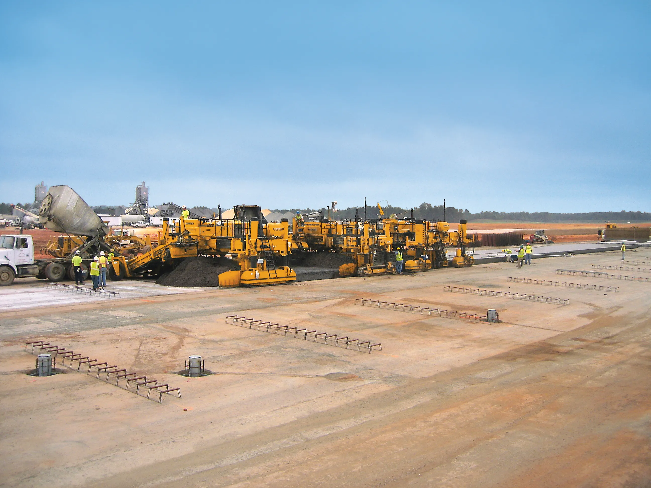
    Leica Geosystems has launched v3.0 of its Leica PaveSmart 3D system, which is designed specifically for concrete and asphalt paving and milling applications. This upgraded package is now said to support a wider range of paving equipment and applications than before. PaveSmart 3D v3.0 will be available late March 2012 through Leica Geosystems’ direct sales and approved paving solution distribution channels, including GOMACO.
  • Paving control package for concrete or asphalt pavers
    April 10, 2012
    Leica Geosystems has launched v3.0 of its Leica PaveSmart 3D system, which is designed specifically for concrete and asphalt paving and milling applications. This upgraded package is now said to support a wider range of paving equipment and applications than before. PaveSmart 3D v3.0 will be available late March 2012 through Leica Geosystems’ direct sales and approved paving solution distribution channels, including GOMACO.