Keeping in touch

Leica Geosystems says that its latest package offers an efficient solution for monitoring communications. The updated GeoMoS v5.1 monitoring software features M-Com, which can integrate total stations, GNSS receivers and antennae, geotechnical sensors, software, and IT communication infrastructure. In addition the revised Leica GeoMoS v5.1 also supports the latest Microsoft Windows 7 operating system. The firm says that this package is easy to install and use, while increasing the mobility of periodic or sh
February 6, 2012 Read time: 2 mins
A sophisticated communications package for remote equipment is available from Leica Geosystems
265 Leica Geosystems says that its latest package offers an efficient solution for monitoring communications. The updated GeoMoS v5.1 monitoring software features M-Com, which can integrate total stations, GNSS receivers and antennae, geotechnical sensors, software, and IT communication infrastructure. In addition the revised Leica GeoMoS v5.1 also supports the latest 2794 Microsoft Windows 7 operating system. The firm says that this package is easy to install and use, while increasing the mobility of periodic or short term monitoring systems. The Leica ComBox can link sensors in the field to the office using mobile internet using a PC with dedicated monitoring software. All types of different sensors are supported by the new communication box. Both communication boxes consist of a compact outdoor housing with a lock system and wall brackets for mounting. An optional component of Leica M-Com is the MonBox30, an energy-efficient Intel -based mini-industrial computer with a robust housing and pre-installed Leica GeoMoS monitoring software. This device can ensure that monitoring will continue in the event of a loss of communication.

For more information on companies in this article

Related Content

  • Optimising operations with construction software gains
    May 20, 2015
    Innovations in construction software are helping boost project efficiency and optimising project operations – Clive Davidson writes Over the past decade, while construction engineers have been putting up buildings or infrastructure, software engineers have been developing a parallel universe where virtual buildings or infrastructure can be created in ever increasing detail. What started with 2D architectural drawings in computer-aided design (CAD) systems, has become a multi-dimensional world, with 3D ge
  • Topcon’s new survey solution
    October 27, 2016
    Topcon Positioning Group’s new surveying suite features four integrated solutions, comprising three hardware products and a single software system. The firm says that this package provides users with a powerful survey system. The Topcon Elite Survey Suite includes the new GT series of robotic total stations, HiPer HR hybrid GNSS receiver, FC-5000 field computer and MAGNET 4.0 software system. According to Topcon, users can benefit from advanced geo-positioning products and technology in one system.
  • Intelligence for compact construction machines
    November 13, 2024
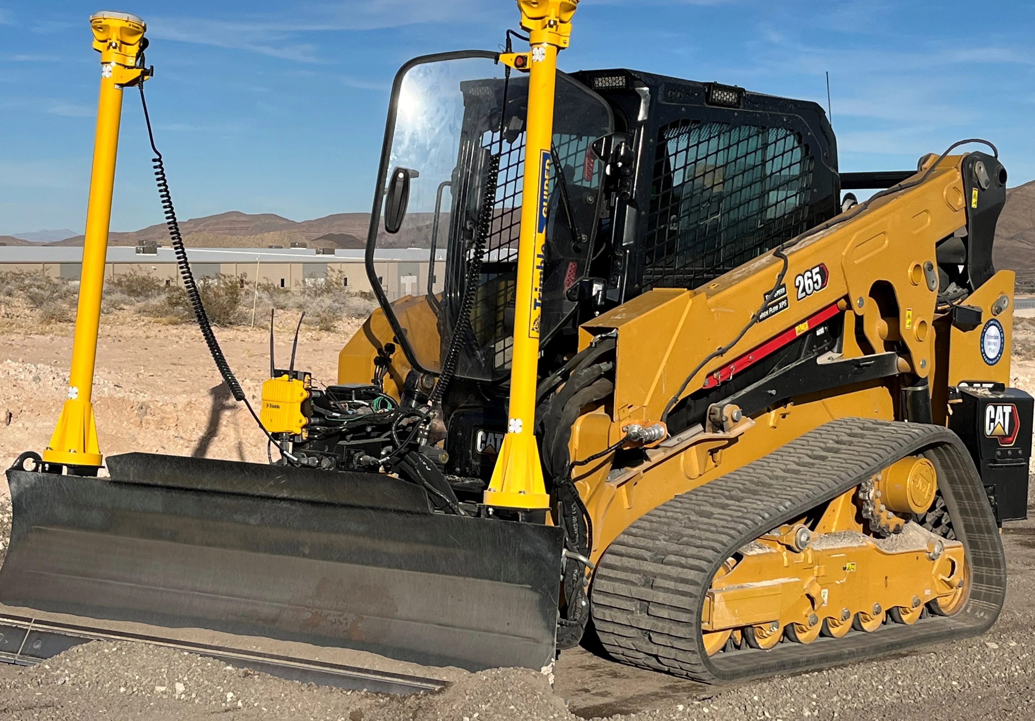
    Trimble is delivering intelligence for compact construction machines.
  • Improving compact equipment efficiency with machine control
    February 6, 2023
    Leica Geosystems is now offering its Leica iCON site excavator package for use on compact excavators. The firm says that this machine control solution allows compact excavators to carry out designs easily and accurately.