Innovation for mapping utilities

Gaist is offering a mapping solution it believes could boost efficiency for the utilities market
February 13, 2020 Read time: 2 mins
Accurate mapping of utilities can be achieved with the new package from Gaist

This novel infrastructure digital twin tool is now being offered to the utilities market. The package can cut the cost and time of construction works and can increase efficiency by 10% at 0.01% of the project cost.

Gaist covers over 341,500km of the UK’s roads and pathways with more than a billion high-definition images. The firm says that this offers a complete and precise view of the highway network. Planners and engineers can explore the network from their desktop, enabling them to make cost-effective and informed decisions when planning and carrying out projects on roads.

This solution is said to add value to utility providers by identifying surface types and the accurate location of utility assets, as well as providing the ability to measure, which allows for accurate budgeting, planning design and delivery. The package allows providers to get it right first time. The data can also aid on-site inductions and briefings, mitigate health and safety risks and reduce costs through negating the need for on-site surveys.

Additionally, Gaist can provide complementary and value-added services such as ground-penetrating radar, traffic management, exact location of services and rod and rope duct proofing. The tool answers questions such as to what is needed to prepare for planned maintenance, or what percentage of roads are ready for fibre.

For more information on companies in this article

Related Content

  • New developments in road recycling and milling
    June 11, 2019
    New developments in road recycling and milling will allow contractors to remove old surfaces more quickly and efficiently – Mike Woof reports
  • Underground sight
    September 3, 2012
    Innovative mobile radar technology that can detect subsurface problems is now being launched by surveying specialist Data Collection Limited. The system uses a specially designed vehicle to carry out surveys at normal traffic speeds. Ground-penetrating radar is used to generate a cross-sectional profile of the subsurface. This information can be used to assess road condition, helping with planning repairs and re-surfacing.
  • Increasing quarry efficiency in Senegal
    November 2, 2022
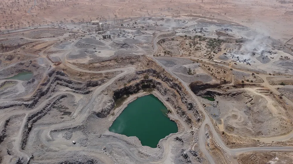
    Every year, three million tonnes of basalt rock, from gravel to riprap, are taken from the Gécamines Quarries in Diack, Senegal, for use in public and maritime work sites. The quarry also produces around 500,000tonnes of limestone for use in cement factories and construction projects in the region – making the site essential for infrastructure development in West Africa.
  • Need for sustainability in infrastructure projects
    July 13, 2012
    What can contractors gain from a sustainability strategy and why is it now a vital business imperative? Abigroup, one of Australia's leading and most diverse national contractors, has developed a sustainability strategy suited to its industry, workforce and business. World Highways discusses this and other issues with Sarah Marshall, Abigroup's national environment and sustainability manager. In the past a responsible business was viewed as one that performed strongly within legal boundaries to maximise pro