Innovation for mapping utilities

Gaist is offering a mapping solution it believes could boost efficiency for the utilities market
February 13, 2020 Read time: 2 mins
Accurate mapping of utilities can be achieved with the new package from Gaist

This novel infrastructure digital twin tool is now being offered to the utilities market. The package can cut the cost and time of construction works and can increase efficiency by 10% at 0.01% of the project cost.

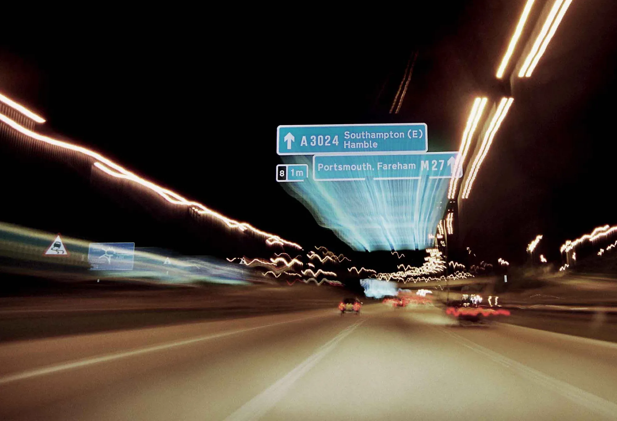
Gaist covers over 341,500km of the UK’s roads and pathways with more than a billion high-definition images. The firm says that this offers a complete and precise view of the highway network. Planners and engineers can explore the network from their desktop, enabling them to make cost-effective and informed decisions when planning and carrying out projects on roads.

This solution is said to add value to utility providers by identifying surface types and the accurate location of utility assets, as well as providing the ability to measure, which allows for accurate budgeting, planning design and delivery. The package allows providers to get it right first time. The data can also aid on-site inductions and briefings, mitigate health and safety risks and reduce costs through negating the need for on-site surveys.

Additionally, Gaist can provide complementary and value-added services such as ground-penetrating radar, traffic management, exact location of services and rod and rope duct proofing. The tool answers questions such as to what is needed to prepare for planned maintenance, or what percentage of roads are ready for fibre.

For more information on companies in this article

Related Content

  • Set the ALARM for repairs in England and Wales
    January 10, 2019
    More than 3,900km of roads in England and Wales will need essential maintenance within the next year, according to the annual ALARM survey* Cash-strapped local governments are reporting that the gap between the funds they received and the amount they needed for repairs and maintenance was almost €639 million. This equated to an average shortfall of €3.75 million for every authority. It would take 14 years to get local roads back into a reasonable steady state, but only if adequate funds and resources wer
  • BOMAG Advanced Pave, the digital co-pilot
    May 1, 2021
    BOMAG introduces its new generation of Universal and Highway class pavers
  • Precision narrows the gap between design software and GIS
    March 20, 2012
    Greater precision is helping blur the boundaries between GIS technology and design software While GIS map based technology has extended its range across an ever more universal spectrum of uses in the highways sector, it is increasingly showing weaknesses for engineering purposes. It is very often not accurate enough. This has not mattered previously because the GIS tool has been seen essentially as an automated version of paper based systems from the design department's point of view. Where engineers
  • Highways: environmental problem or environmental enhancement?
    March 21, 2016
    Highways need not be a blight on the countryside that many people, urban planners included, believe they will always be. By Bram Miller, director, and Martin Broderick, environmental consultant, at Ramboll Environ While the world’s highway networks bring undoubted economic and social benefits, they are generally perceived to lead to negative environmental impacts. Some may consider this an unfair reputation, but it is difficult to argue that in the majority of cases both the construction and operation of