Innovation for mapping utilities

Gaist is offering a mapping solution it believes could boost efficiency for the utilities market
February 13, 2020 Read time: 2 mins
Accurate mapping of utilities can be achieved with the new package from Gaist

This novel infrastructure digital twin tool is now being offered to the utilities market. The package can cut the cost and time of construction works and can increase efficiency by 10% at 0.01% of the project cost.

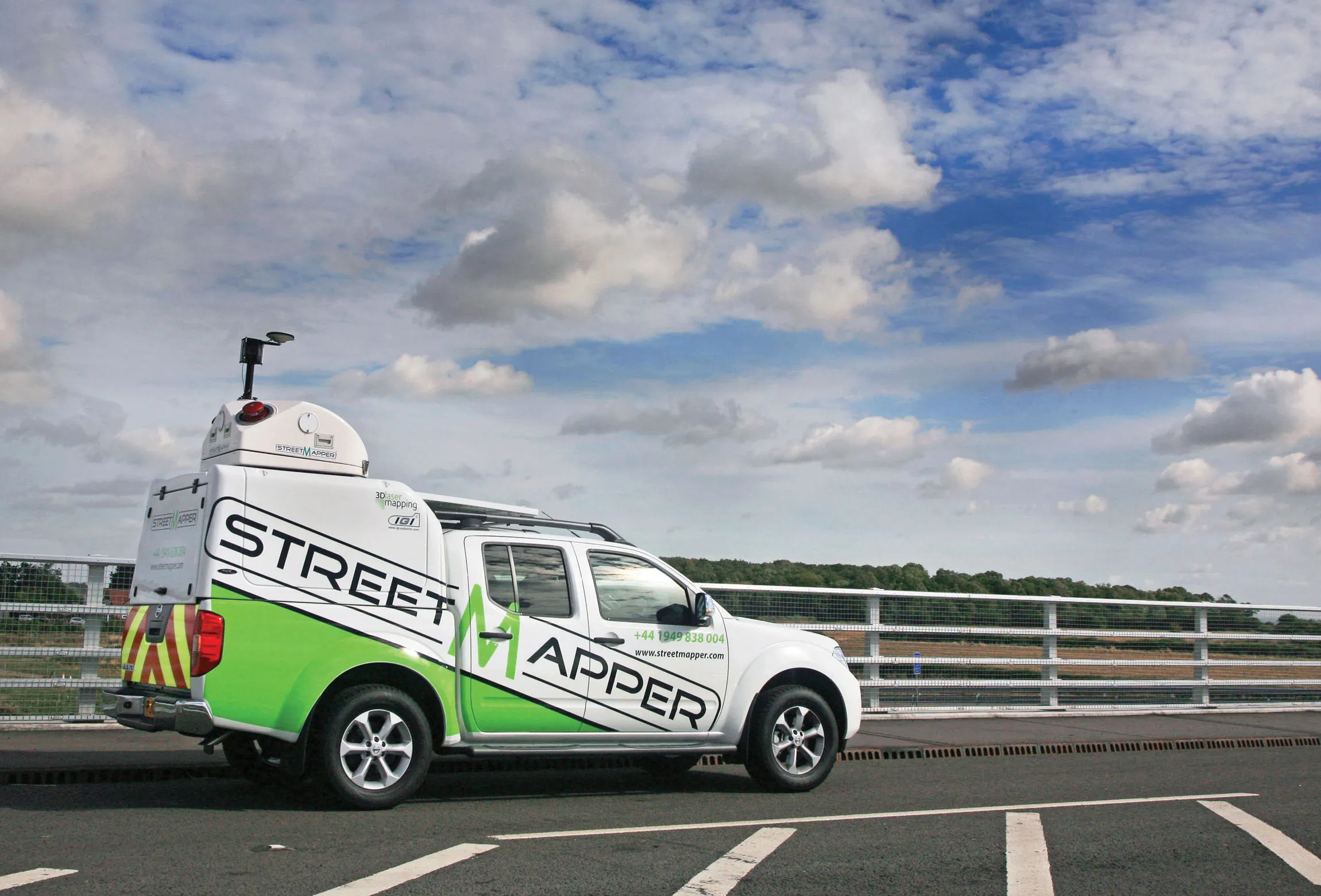
Gaist covers over 341,500km of the UK’s roads and pathways with more than a billion high-definition images. The firm says that this offers a complete and precise view of the highway network. Planners and engineers can explore the network from their desktop, enabling them to make cost-effective and informed decisions when planning and carrying out projects on roads.

This solution is said to add value to utility providers by identifying surface types and the accurate location of utility assets, as well as providing the ability to measure, which allows for accurate budgeting, planning design and delivery. The package allows providers to get it right first time. The data can also aid on-site inductions and briefings, mitigate health and safety risks and reduce costs through negating the need for on-site surveys.

Additionally, Gaist can provide complementary and value-added services such as ground-penetrating radar, traffic management, exact location of services and rod and rope duct proofing. The tool answers questions such as to what is needed to prepare for planned maintenance, or what percentage of roads are ready for fibre.

For more information on companies in this article

Related Content

  • What matters most: an expert’s insight into purchasing light equipment
    July 19, 2021
    Sometimes, it seems that the biggest differentiator between various brands of light equipment is their paint colour. Yet there is plenty to compare when you look beyond the surface.
  • Optimising traffic control ensures efficient use of infrastructure
    April 10, 2013
    Central and local governments are facing many challenges, not least a shortage of funds due to budget restraints in the US and Europe in particular. In other markets, ensuring efficient traffic flow is the priority, with monitoring of network status being a key tool. New technology for traffic monitoring plays a crucial role and the sector is keen to introduce new and more efficient systems. The Transport Research laboratory (TRL) has long been a pioneer of traffic control technologies and its latest MAAPc
  • Free flight planner app for HCSS Aerial
    April 9, 2021
    The HCSS Aerial: Drone Mission app works with most drones to capture high-resolution images.
  • Improved roadmarkings will boost roadway safety for users
    February 19, 2013
    An Innovative road marking system helping to boost public transport in a major South American city, and road marking analytic technology robust enough to withstand damage in heavy rain are among products examined by Guy Woodford . DEGAROUTE Methacylate (MMA) cold plastic area markings from Evonik Industries are being used as part of efforts to improve the public transport system in Santiago, Chile. By adding red pigment to the DEGAROUTE binder, distinctive and long-lasting red-coloured bus lanes are being c