Innovation for mapping utilities

Gaist is offering a mapping solution it believes could boost efficiency for the utilities market
February 13, 2020 Read time: 2 mins
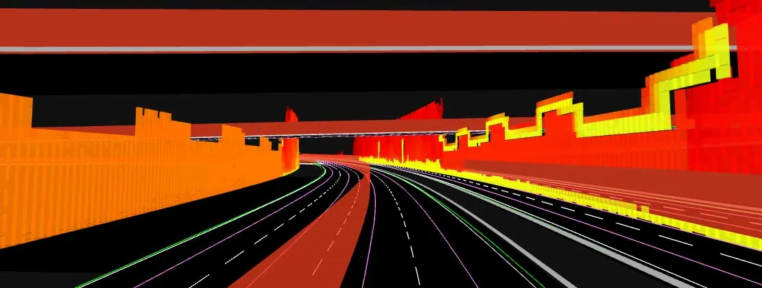
Accurate mapping of utilities can be achieved with the new package from Gaist

This novel infrastructure digital twin tool is now being offered to the utilities market. The package can cut the cost and time of construction works and can increase efficiency by 10% at 0.01% of the project cost.

Gaist covers over 341,500km of the UK’s roads and pathways with more than a billion high-definition images. The firm says that this offers a complete and precise view of the highway network. Planners and engineers can explore the network from their desktop, enabling them to make cost-effective and informed decisions when planning and carrying out projects on roads.

This solution is said to add value to utility providers by identifying surface types and the accurate location of utility assets, as well as providing the ability to measure, which allows for accurate budgeting, planning design and delivery. The package allows providers to get it right first time. The data can also aid on-site inductions and briefings, mitigate health and safety risks and reduce costs through negating the need for on-site surveys.

Additionally, Gaist can provide complementary and value-added services such as ground-penetrating radar, traffic management, exact location of services and rod and rope duct proofing. The tool answers questions such as to what is needed to prepare for planned maintenance, or what percentage of roads are ready for fibre.

For more information on companies in this article

Related Content

  • Smarter transport solutions from TomTom
    January 4, 2016
    TomTom is introducing two novel products that help deliver smart traffic solutions, RoadDNA and its HAD map. The Road DNA will help make automated driving a reality, according to the firm. Designed with vehicle data storage and processing limitations in mind, RoadDNA delivers highly accurate location information that can easily be integrated into the onboard system of a vehicle. This allows a vehicle to continuously know exactly where it is located on the road. It offers highly accurate vehicle localisa
  • Innovation in road design and management software
    February 17, 2012
    The emphasis on data processing and re-use, continues to grow in the development of design and management software. The interoperability of software, the need to handle and process larger amounts of data, and re-use and retention of data sets from one task to another have been a growing emphasis in the past few years. It allows infrastructure companies to get better value from expensively collected information and to focus more on the whole life cycle of projects.
  • Safe construction amidst challenging times
    August 24, 2020
    Taking a steer on health and safety is crucial in these challenging times
  • IRF Executives Talks: shaping the future of Intelligent transportation
    August 29, 2024
    Technological advances for the intelligent transportation sector are developing at incredible speed globally. For many leaders in the sector, one of the biggest challenges is how they should use new technology to shape the future of intelligent transportation. SWARCO chief executive, Michael Schuch, put forward his ideas in conversation with IRF Director General Susanna Zammataro ahead of the IRF World Congress in Istanbul in October.