Innovation for mapping utilities

Gaist is offering a mapping solution it believes could boost efficiency for the utilities market
February 13, 2020 Read time: 2 mins
Accurate mapping of utilities can be achieved with the new package from Gaist

This novel infrastructure digital twin tool is now being offered to the utilities market. The package can cut the cost and time of construction works and can increase efficiency by 10% at 0.01% of the project cost.

Gaist covers over 341,500km of the UK’s roads and pathways with more than a billion high-definition images. The firm says that this offers a complete and precise view of the highway network. Planners and engineers can explore the network from their desktop, enabling them to make cost-effective and informed decisions when planning and carrying out projects on roads.

This solution is said to add value to utility providers by identifying surface types and the accurate location of utility assets, as well as providing the ability to measure, which allows for accurate budgeting, planning design and delivery. The package allows providers to get it right first time. The data can also aid on-site inductions and briefings, mitigate health and safety risks and reduce costs through negating the need for on-site surveys.

Additionally, Gaist can provide complementary and value-added services such as ground-penetrating radar, traffic management, exact location of services and rod and rope duct proofing. The tool answers questions such as to what is needed to prepare for planned maintenance, or what percentage of roads are ready for fibre.

For more information on companies in this article

Related Content

  • Trimble’s new solutions boost road building
    January 29, 2014
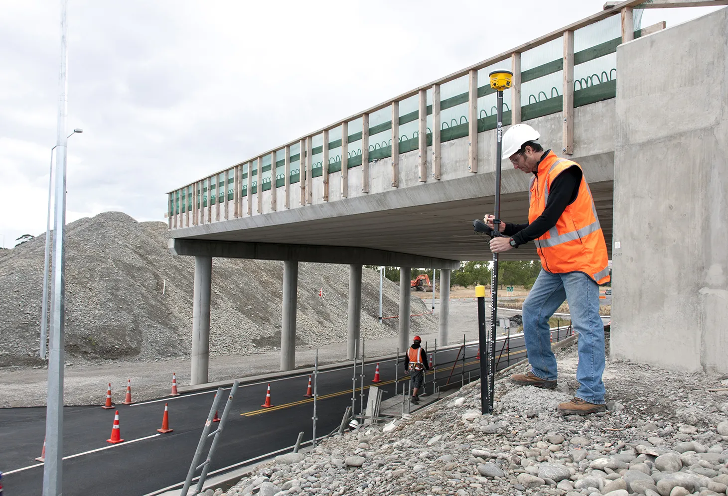
    Trimble is now offering a sophisticated package of solutions comprising hardware, software and mobility technologies. This streamlines communication and collaboration throughout the construction lifecycle, from planning, design and site preparation through to the finished project. Connecting sites delivers value across the entire project lifecycle, as real-time data gives contractors and stakeholders better information about material, people and asset utilisation for improved productivity.
  • Weigh in motion technology reduces road damage
    February 8, 2012
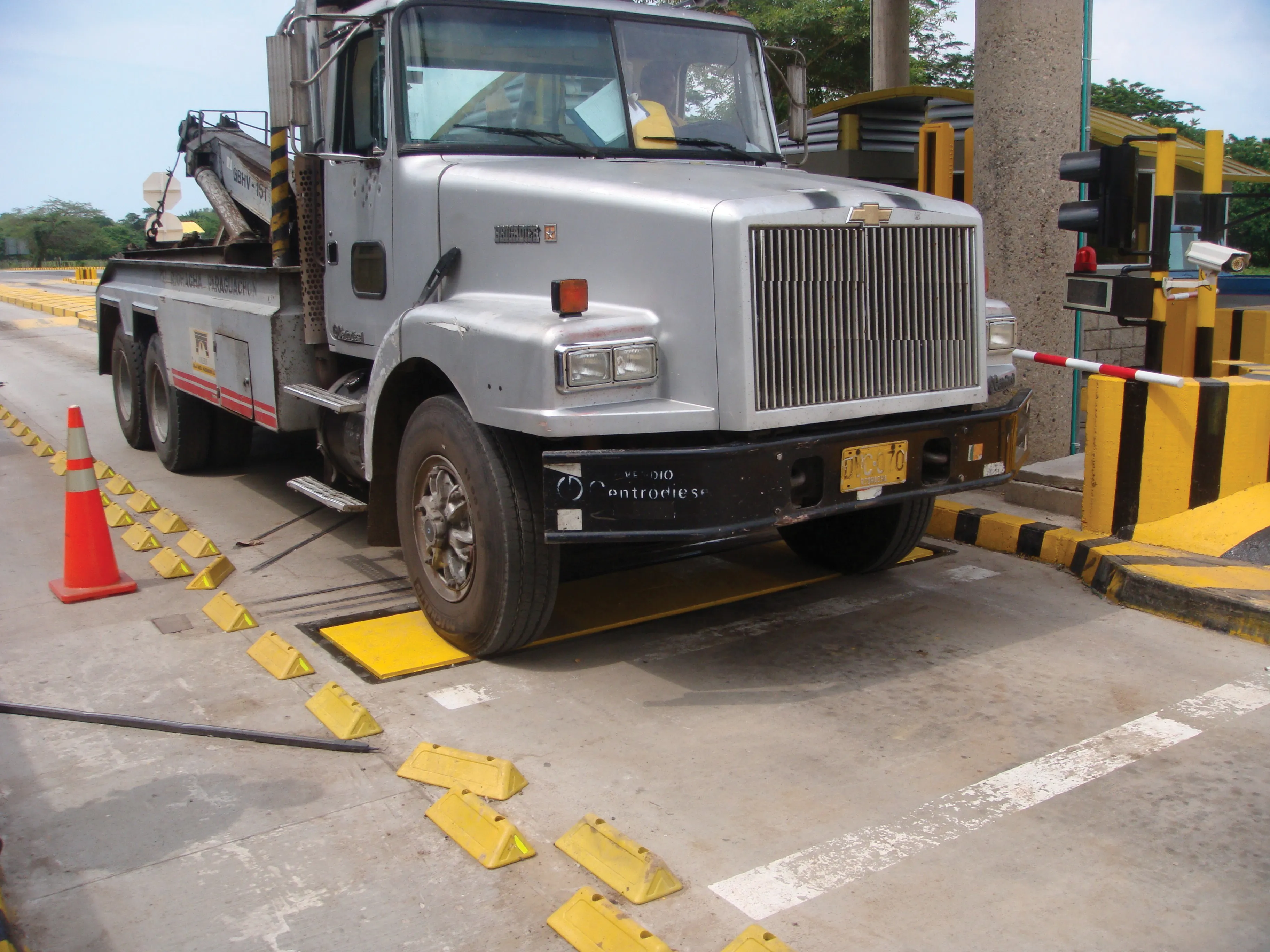
    Overweight vehicles cause enormous damage to road structures but they can be caught, even at high speed. Weigh-in-motion or WIM devices are designed to capture and record axle weights and gross vehicle weights as vehicles drive over a measurement site.
  • Improving road asset monitoring with TRL
    September 24, 2023

    TRL Software has rolled out a new digital pavement asset management system for National Highways (NH) called P-AMS. The new P-AMS system is a customised for NH version of TRL Software's cloud-based digital product iROADS, which is a commercially available off-the-shelf platform designed for various infrastructure assets. 

  • Beyond cost: forging a solutions-led partnership for highways carbon-saving
    December 30, 2024
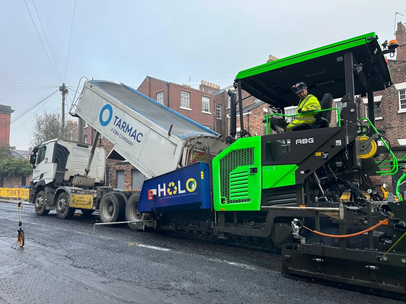
    Changing highways procurement is increasingly focusing material specification to drive carbon savings as well as cost. A longstanding partnership between Huyton Asphalt and Tarmac is delivering new solutions for highways clients in the UK.