Innovation for mapping utilities

Gaist is offering a mapping solution it believes could boost efficiency for the utilities market
February 13, 2020 Read time: 2 mins
Accurate mapping of utilities can be achieved with the new package from Gaist

This novel infrastructure digital twin tool is now being offered to the utilities market. The package can cut the cost and time of construction works and can increase efficiency by 10% at 0.01% of the project cost.

Gaist covers over 341,500km of the UK’s roads and pathways with more than a billion high-definition images. The firm says that this offers a complete and precise view of the highway network. Planners and engineers can explore the network from their desktop, enabling them to make cost-effective and informed decisions when planning and carrying out projects on roads.

This solution is said to add value to utility providers by identifying surface types and the accurate location of utility assets, as well as providing the ability to measure, which allows for accurate budgeting, planning design and delivery. The package allows providers to get it right first time. The data can also aid on-site inductions and briefings, mitigate health and safety risks and reduce costs through negating the need for on-site surveys.

Additionally, Gaist can provide complementary and value-added services such as ground-penetrating radar, traffic management, exact location of services and rod and rope duct proofing. The tool answers questions such as to what is needed to prepare for planned maintenance, or what percentage of roads are ready for fibre.

For more information on companies in this article

Related Content

  • Pollution-free highways of the future: a reality?
    February 9, 2018
    More collaboration is needed to reduce the impact of highways on the environment, particularly air quality. The technology already exists, argue Bram Miller* and Martin Broderick* The European Environment Agency produced a report showing that a slow improvement in air quality has been observed across Europe. However, 9% of urban Europeans were exposed to nitrogen dioxide emissions in excess of the EU’s annual maximum limit in 2015. Meanwhile, associations between highways and the environment tend to be n
  • InnoSenT traffic management
    April 12, 2023
    InnoSenT has developed a new high-tech radar system for intersection management and traffic monitoring: the ITR-3800.
  • Soil compaction efficiency boost from Trimble
    August 24, 2021
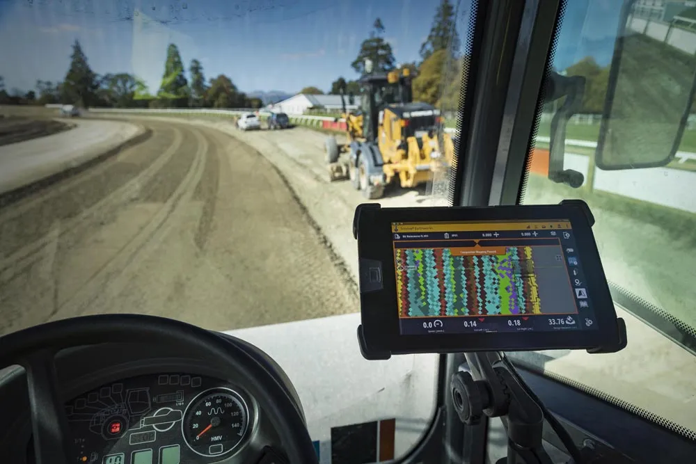
    Trimble claims that its new Earthworks Grade Control Platform version 2.4 soil compactor package offers a major gain in working efficiency
  • Trimble’s new drone package offers versatility
    April 26, 2018
    Trimble is now offering a sophisticated new drone package called Trimble Stratus, through the firm’s partnership with drone-mapping and analytics company Propeller Aero. According to Martin Wagener, worldwide product implementation manager for the firm, the system allows the user to employ any type of commercial quality drone. The important part of the package is the Aeropoint, a small flat plate developed by Propellor. This is placed on the ground and acts as a point of reference for all of the drone’s ge