Innovation for mapping utilities

Gaist is offering a mapping solution it believes could boost efficiency for the utilities market
February 13, 2020 Read time: 2 mins
Accurate mapping of utilities can be achieved with the new package from Gaist

This novel infrastructure digital twin tool is now being offered to the utilities market. The package can cut the cost and time of construction works and can increase efficiency by 10% at 0.01% of the project cost.

Gaist covers over 341,500km of the UK’s roads and pathways with more than a billion high-definition images. The firm says that this offers a complete and precise view of the highway network. Planners and engineers can explore the network from their desktop, enabling them to make cost-effective and informed decisions when planning and carrying out projects on roads.

This solution is said to add value to utility providers by identifying surface types and the accurate location of utility assets, as well as providing the ability to measure, which allows for accurate budgeting, planning design and delivery. The package allows providers to get it right first time. The data can also aid on-site inductions and briefings, mitigate health and safety risks and reduce costs through negating the need for on-site surveys.

Additionally, Gaist can provide complementary and value-added services such as ground-penetrating radar, traffic management, exact location of services and rod and rope duct proofing. The tool answers questions such as to what is needed to prepare for planned maintenance, or what percentage of roads are ready for fibre.

For more information on companies in this article

Related Content

  • Trimble is developing smart construction site solutions
    March 7, 2016
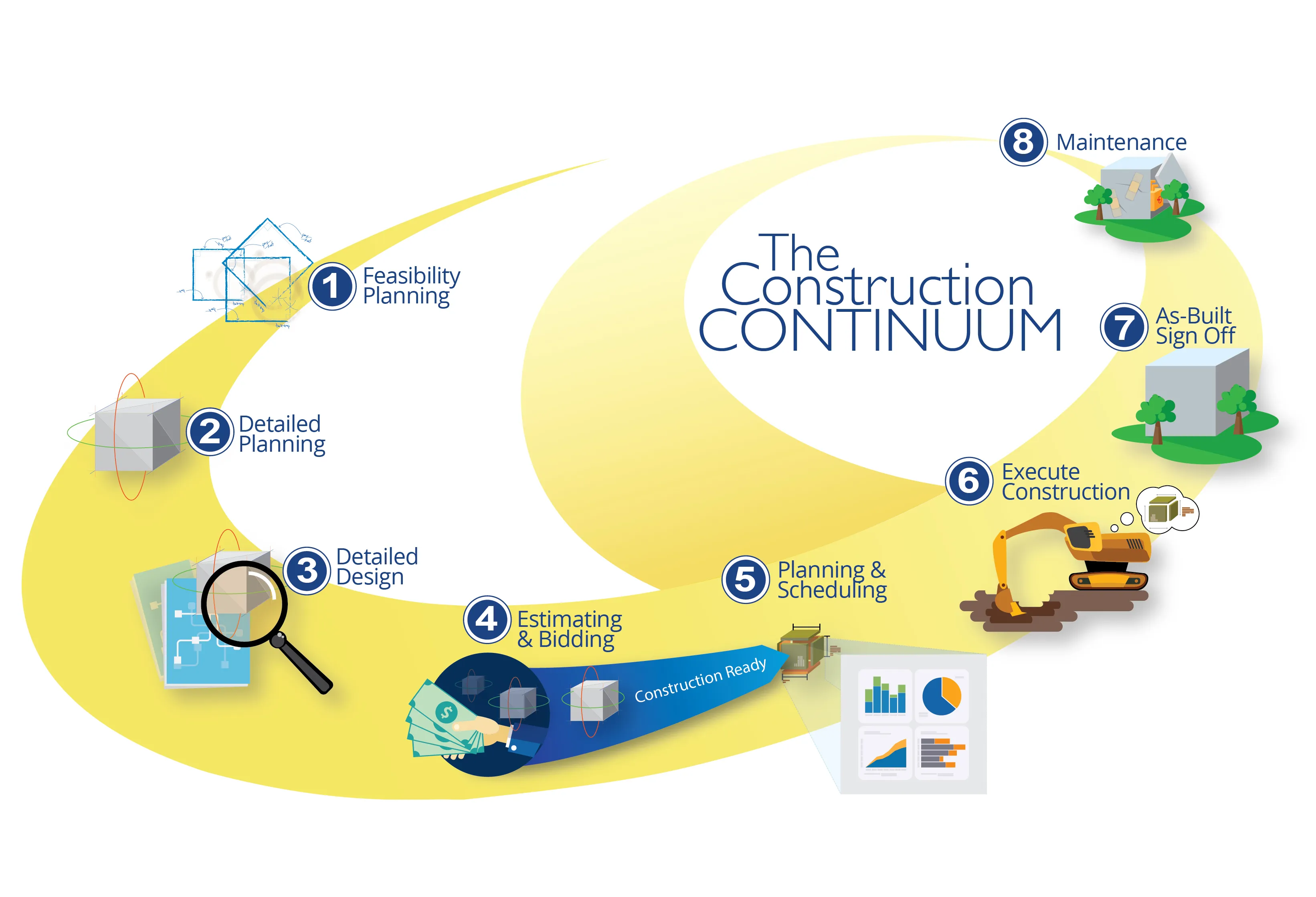
    Trimble is taking the concept of the building information model (BIM) one stage further with its development of its construction continuum concept. This is intended to show the process and benefits to building a construction-ready model embedded with intelligent data. Such a model can serve as the basis for how contractors plan and execute construction projects. With intelligent modeling, users can add and remove information in real time while simultaneously looking at multiple ways to perform construction
  • Trimble is developing smart construction site solutions
    January 6, 2017
    Trimble is taking the concept of the building information model (BIM) one stage further with its development of its construction continuum concept. This is intended to show the process and benefits to building a construction-ready model embedded with intelligent data. Such a model can serve as the basis for how contractors plan and execute construction projects. With intelligent modeling, users can add and remove information in real time while simultaneously looking at multiple ways to perform construction
  • Paul Verrico of Eversheds will be headline speaker at ERIC 2016
    August 9, 2016
    Despite Europe being a global leader in road safety, around 25,000 road users (working, walking, driving or riding a bicycle) did not make it home in 2015 and more than 200,000 others sustained life-changing or serious injuries. Leading Safety Lawyer Paul Verrico, a Partner of European law firm Eversheds will present the ERICLeeds16 ROAD SAFETY DEBATE. He will argue that organisations in the UK face ever increasing sanctions through new sentencing guidelines for health and safety and corporate manslaugh
  • Inrix Analytics announced
    May 4, 2012
    Inrix has introduced what it claims is the industry's first cloud-based data analytics services designed to improve how transportation agencies monitor, manage and measure the performance of their road networks. "Now more than ever, government agencies worldwide are being required to stretch and justify every dollar invested in transportation - being asked to do more with less," said Rick Schuman, Inrix VP of public sector.