Information integration

The sophisticated Leica MobileMatriX 4.1 package provides a key tool for integrating the new Leica Viva Total Stations with other technologies. Highly sophisticated, the Leica MobileMatriX package is said to be the most advanced solution available for mobile GIS applications. The system can be used in combination with GNSS, Total Stations, Level, Digital Cameras, and Laser Range Finders (LRF). Using the imaging support of the new TS15 and TS11, users of the Leica MobileMatriX package can take an image with
February 17, 2012 Read time: 1 min
The sophisticated 265 Leica MobileMatriX 4.1 package provides a key tool for integrating the new Leica Viva Total Stations with other technologies. Highly sophisticated, the Leica MobileMatriX package is said to be the most advanced solution available for mobile GIS applications. The system can be used in combination with GNSS, Total Stations, Level, Digital Cameras, and Laser Range Finders (LRF). Using the imaging support of the new TS15 and TS11, users of the Leica MobileMatriX package can take an image with a Total Station and store it directly in a GIS database. Image assisted documentation enables users to supplement GIS archives with on-site information. In addition, the Leica MobileMatriX v4.1 can be operated with the latest Leica Viva GNSS receivers as well as having the capability to import RINEX data.

For more information on companies in this article

Related Content

  • Dynapac’s high capacity asphalt paver
    September 30, 2013
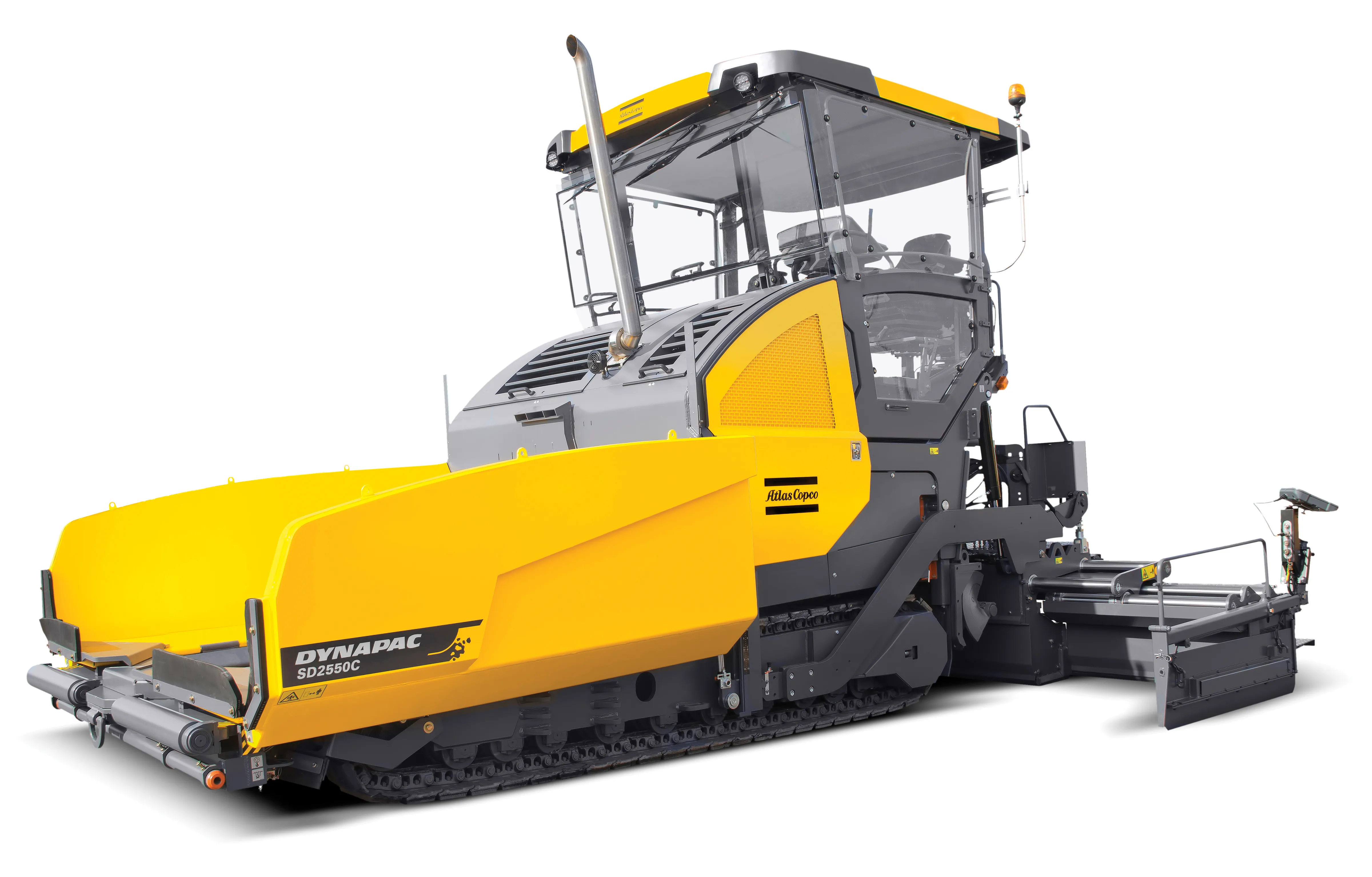
    Dynapac is now offering the SD2550CS tracked paver, which is said to deliver high productivity and efficiency at a low cost/tonne. The machine is also fitted with Dynapac’s latest intelligent Pave Manager 2.0 control system, further boosting mat quality. The company says that the paver has benefited from an intensive research and development programme and the R&D team has worked hard to improve a number of features on the new paver, which now has an improved operator work station and controls systems, lo
  • Topcon and Bentley join forces to model reality
    March 8, 2017
    Topcon Positioning and Bentley Systems are introducing the product of their joint development project at CONEXPO-CON/AGG 2017, a reality modelling software solution.
  • Road recycling
    September 27, 2023
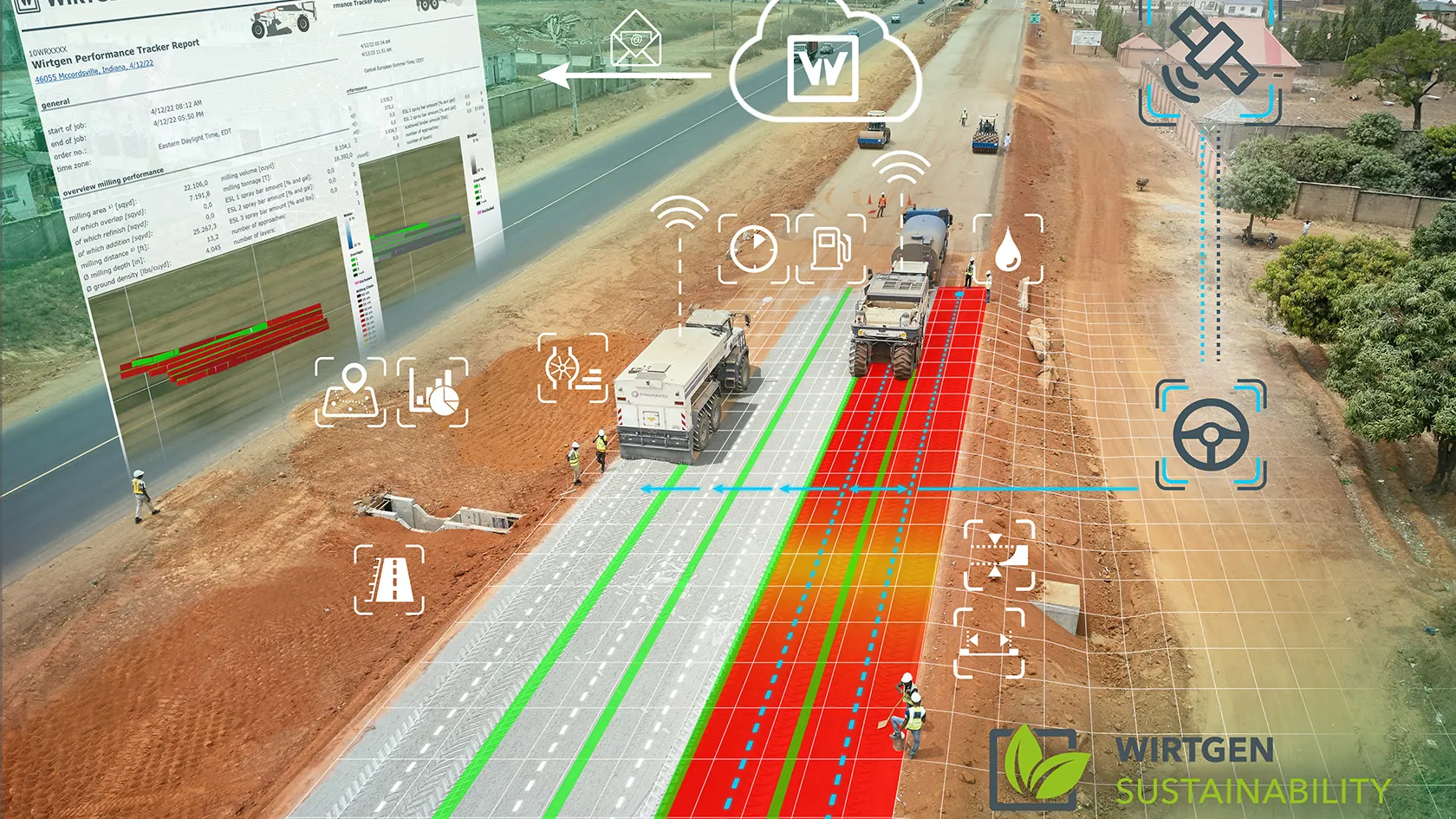
    Easier to operate, thanks to the increasing use of GPS, and greener to run because of biofuels are two of the more innovative technologies being integrated into machine design by major road recycling equipment manufacturers.
  • App upgrades and power choices
    November 13, 2024
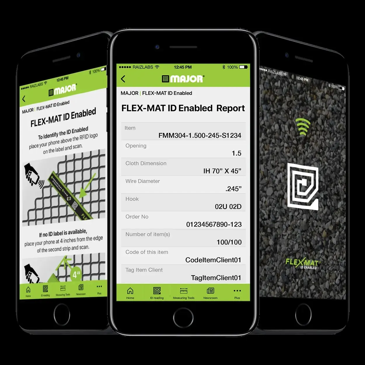
    The use of apps for more productive screening operations and the dual use of diesel and electric power have helped boost quarry efficiencies, according to Kleeman, Major and Screenscore.