Information integration

The sophisticated Leica MobileMatriX 4.1 package provides a key tool for integrating the new Leica Viva Total Stations with other technologies. Highly sophisticated, the Leica MobileMatriX package is said to be the most advanced solution available for mobile GIS applications. The system can be used in combination with GNSS, Total Stations, Level, Digital Cameras, and Laser Range Finders (LRF). Using the imaging support of the new TS15 and TS11, users of the Leica MobileMatriX package can take an image with
February 17, 2012 Read time: 1 min
The sophisticated 265 Leica MobileMatriX 4.1 package provides a key tool for integrating the new Leica Viva Total Stations with other technologies. Highly sophisticated, the Leica MobileMatriX package is said to be the most advanced solution available for mobile GIS applications. The system can be used in combination with GNSS, Total Stations, Level, Digital Cameras, and Laser Range Finders (LRF). Using the imaging support of the new TS15 and TS11, users of the Leica MobileMatriX package can take an image with a Total Station and store it directly in a GIS database. Image assisted documentation enables users to supplement GIS archives with on-site information. In addition, the Leica MobileMatriX v4.1 can be operated with the latest Leica Viva GNSS receivers as well as having the capability to import RINEX data.

For more information on companies in this article

Related Content

  • 3D PAVING comes to India and is boosting slipforming efficiency
    December 19, 2016
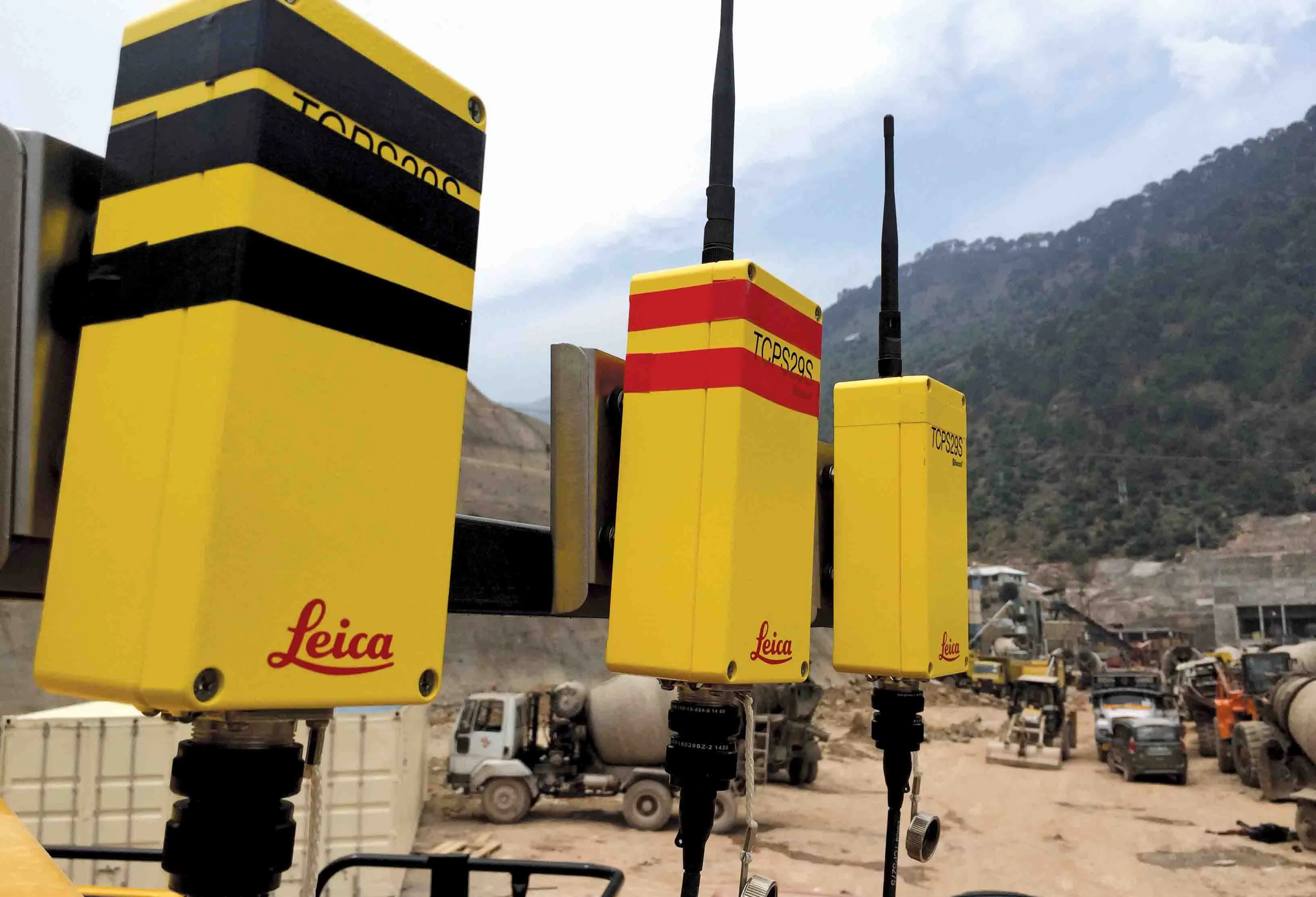
    Situated on India’s northern frontier, the state of Jammu and Kashmir is world-renowned for its aesthetic vistas and captivating landscapes. The arterial roads connecting the city of Jammu to that of Srinagar is a challenge to maintain, being constantly exposed to harsh weather and overburdened with vehicular movement. Leica Geosystems has been involved in the Chenani-Nashri tunnel project, India’s longest road tunnel and which will be part of an alternate route in the region
  • New ANPR system from vysionics
    May 28, 2013
    Vysionics launched VECTOR, its latest ANPR technology, during TRAFFEX 2013 in Birmingham, central England. Said to combine decades of ANPR experience into a single, highly capable and compact integrated unit, VECTOR’s two high resolution cameras provide ANPR and scene overview images, including day/night mode allowing capture on a completely dark road. Images can be transferred via a wide range of communications media, or stored on local high capacity memory. A GPS clock, compass, accelerometer and two lig
  • Firmly in control with communications
    May 6, 2020
    An important step has been made with regard to improving data communications between construction machines
  • Utility machine innovations
    May 23, 2023
    New developments will make utility machines more efficient and reliable, lowering running costs for users