Information integration

The sophisticated Leica MobileMatriX 4.1 package provides a key tool for integrating the new Leica Viva Total Stations with other technologies. Highly sophisticated, the Leica MobileMatriX package is said to be the most advanced solution available for mobile GIS applications. The system can be used in combination with GNSS, Total Stations, Level, Digital Cameras, and Laser Range Finders (LRF). Using the imaging support of the new TS15 and TS11, users of the Leica MobileMatriX package can take an image with
February 17, 2012 Read time: 1 min
The sophisticated 265 Leica MobileMatriX 4.1 package provides a key tool for integrating the new Leica Viva Total Stations with other technologies. Highly sophisticated, the Leica MobileMatriX package is said to be the most advanced solution available for mobile GIS applications. The system can be used in combination with GNSS, Total Stations, Level, Digital Cameras, and Laser Range Finders (LRF). Using the imaging support of the new TS15 and TS11, users of the Leica MobileMatriX package can take an image with a Total Station and store it directly in a GIS database. Image assisted documentation enables users to supplement GIS archives with on-site information. In addition, the Leica MobileMatriX v4.1 can be operated with the latest Leica Viva GNSS receivers as well as having the capability to import RINEX data.

For more information on companies in this article

Related Content

  • Optimising operations with construction software gains
    May 20, 2015
    Innovations in construction software are helping boost project efficiency and optimising project operations – Clive Davidson writes Over the past decade, while construction engineers have been putting up buildings or infrastructure, software engineers have been developing a parallel universe where virtual buildings or infrastructure can be created in ever increasing detail. What started with 2D architectural drawings in computer-aided design (CAD) systems, has become a multi-dimensional world, with 3D ge
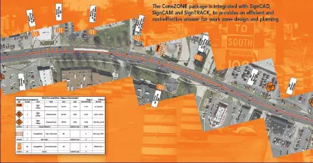
  • Workszone design and planning software
    March 6, 2012
    Managing utility works effectively is important, given that digging up roads and then patching them can dramatically cut the life of a road surface. New software tools make this process easier to manage effectively and Bentley Systems is extending its Expert Designer V8i package to include water, gas, and communications infrastructure, in addition to electric utilities. This allows utility firms and engineering contractors using Expert Designer V8i to boost the efficiency of utility network design projects.
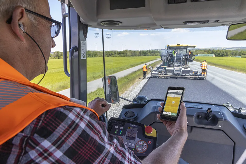
  • Asphalt paving technology advance
    October 26, 2021
    Vögele is expanding its offering for digital road construction solutions with the introduction of new functions in its WITOS Paving Docu and WITOS Paving Plus packages
  • Intermat innovation for machine control systems
    June 23, 2015
    Improving technologies for machine control systems continue to deliver increases in efficiency for contractors - Mike Woof writes Machine control technologies have continued to develop as the specialist suppliers in this fiercely fought sector seek to find a competitive advantage over their rivals. The key players, Leica Geosystems, MOBA, Topcon and Trimble, have all been pushing the boundaries with their latest technologies. Although the systems these firms are introducing are aimed at a number of differen