Information integration

The sophisticated Leica MobileMatriX 4.1 package provides a key tool for integrating the new Leica Viva Total Stations with other technologies. Highly sophisticated, the Leica MobileMatriX package is said to be the most advanced solution available for mobile GIS applications. The system can be used in combination with GNSS, Total Stations, Level, Digital Cameras, and Laser Range Finders (LRF). Using the imaging support of the new TS15 and TS11, users of the Leica MobileMatriX package can take an image with
February 17, 2012 Read time: 1 min
The sophisticated 265 Leica MobileMatriX 4.1 package provides a key tool for integrating the new Leica Viva Total Stations with other technologies. Highly sophisticated, the Leica MobileMatriX package is said to be the most advanced solution available for mobile GIS applications. The system can be used in combination with GNSS, Total Stations, Level, Digital Cameras, and Laser Range Finders (LRF). Using the imaging support of the new TS15 and TS11, users of the Leica MobileMatriX package can take an image with a Total Station and store it directly in a GIS database. Image assisted documentation enables users to supplement GIS archives with on-site information. In addition, the Leica MobileMatriX v4.1 can be operated with the latest Leica Viva GNSS receivers as well as having the capability to import RINEX data.

For more information on companies in this article

Related Content

  • Rolls Royce develops its operations
    October 6, 2021
    Rolls-Royce Power Systems is developing its operations with a series of key moves. The firm says it is taking the next step towards a climate-neutral future. By 2030, the Rolls-Royce business unit is to cut greenhouse gas emissions by 35% compared to its 2019 level through the use of new net zero and cero carbon technologies
  • Topcon unveils X-63i indicate systems for excavators
    January 6, 2017
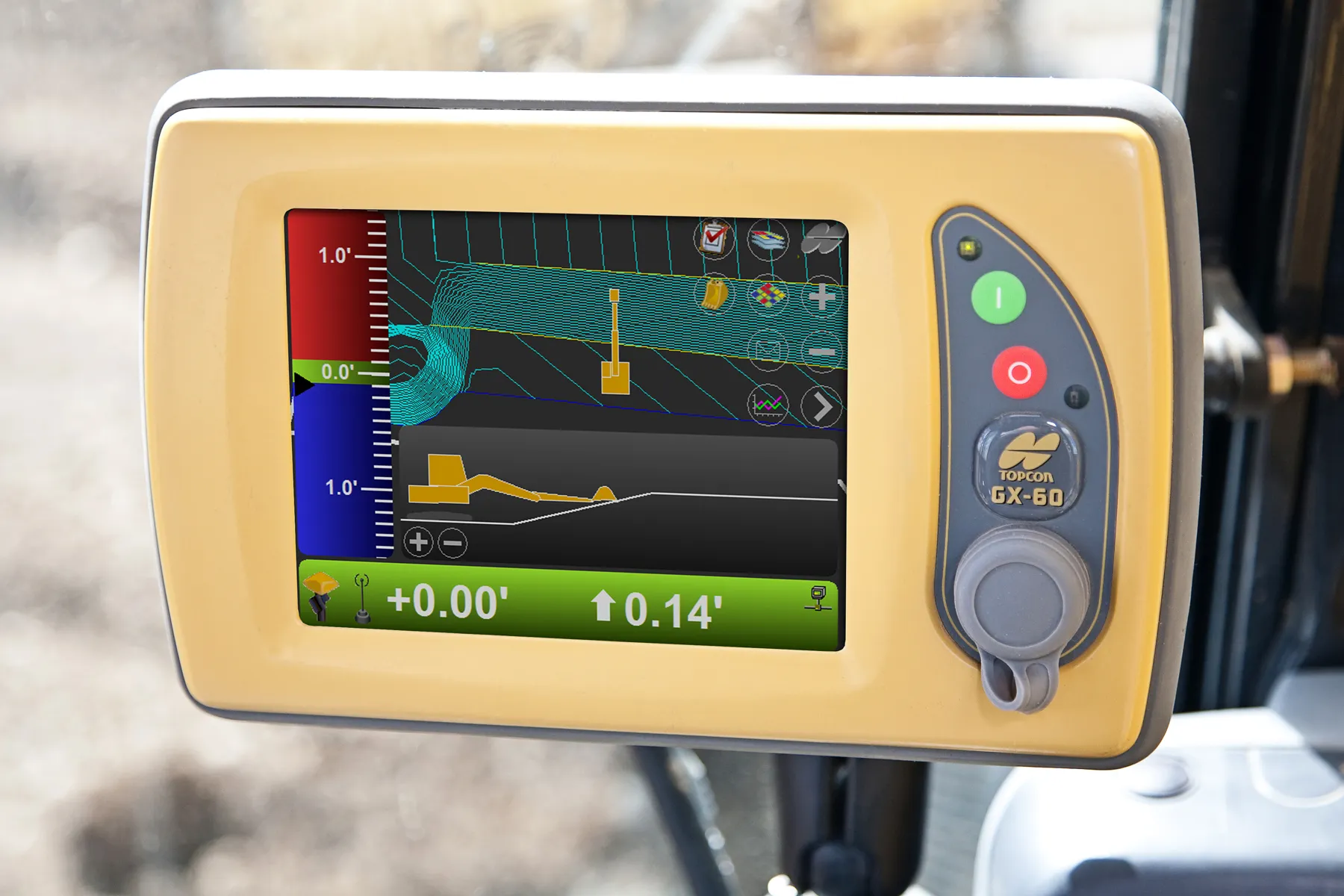
    Topcon’s new X-63i 3D indicate system for excavators is the latest addition to its machine control portfolio. “The new system combines Topcon’s advanced GNSS global positioning technology and machine sensors with the heavy-duty GX-60 touchscreen colour display to provide an easy-to-use system for increased excavation efficiency,” said Kris Maas, Topcon’s machine control product marketing manager.
  • Topcon unveils X-63i indicate systems for excavators
    February 25, 2014
    Topcon’s new X-63i 3D indicate system for excavators is the latest addition to its machine control portfolio. “The new system combines Topcon’s advanced GNSS global positioning technology and machine sensors with the heavy-duty GX-60 touchscreen colour display to provide an easy-to-use system for increased excavation efficiency,” said Kris Maas, Topcon’s machine control product marketing manager.
  • The challenge of integrating new mobility, a study
    February 6, 2020
    An ongoing study is benchmarking progress towards adapting roads to new mobility, explains Christophe Nicodème*