Information integration

The sophisticated Leica MobileMatriX 4.1 package provides a key tool for integrating the new Leica Viva Total Stations with other technologies. Highly sophisticated, the Leica MobileMatriX package is said to be the most advanced solution available for mobile GIS applications. The system can be used in combination with GNSS, Total Stations, Level, Digital Cameras, and Laser Range Finders (LRF). Using the imaging support of the new TS15 and TS11, users of the Leica MobileMatriX package can take an image with
February 17, 2012 Read time: 1 min
The sophisticated 265 Leica MobileMatriX 4.1 package provides a key tool for integrating the new Leica Viva Total Stations with other technologies. Highly sophisticated, the Leica MobileMatriX package is said to be the most advanced solution available for mobile GIS applications. The system can be used in combination with GNSS, Total Stations, Level, Digital Cameras, and Laser Range Finders (LRF). Using the imaging support of the new TS15 and TS11, users of the Leica MobileMatriX package can take an image with a Total Station and store it directly in a GIS database. Image assisted documentation enables users to supplement GIS archives with on-site information. In addition, the Leica MobileMatriX v4.1 can be operated with the latest Leica Viva GNSS receivers as well as having the capability to import RINEX data.

For more information on companies in this article

Related Content

  • Liebherr’s record results for 2023
    April 4, 2024
    Liebherr claims record results for 2023.
  • Innovative vehicle technology
    March 15, 2012
    A partnership between the VTT Technical Research Centre of Finland, Mobisoft and the Finnish Meteorological Institute and other bodies has developed a communication system for drivers to inform them about weather and road conditions.
  • Trimble’s new SitePulse System empowers field managers
    June 9, 2015
    Trimble has launched what it claims is an affordable and easy-to-use site positioning System for superintendents, foremen and field engineers on heavy civil construction sites. Instead of using paper plans, the Trimble SitePulse System empowers field managers with the same 3D constructible model and digital information that is used by construction surveyors, grade checkers and machine operators. Trimble SitePulse field software is ideal for construction managers who do not have a surveying background. The
  • Big measuring from TinyMobileRobots
    February 27, 2017
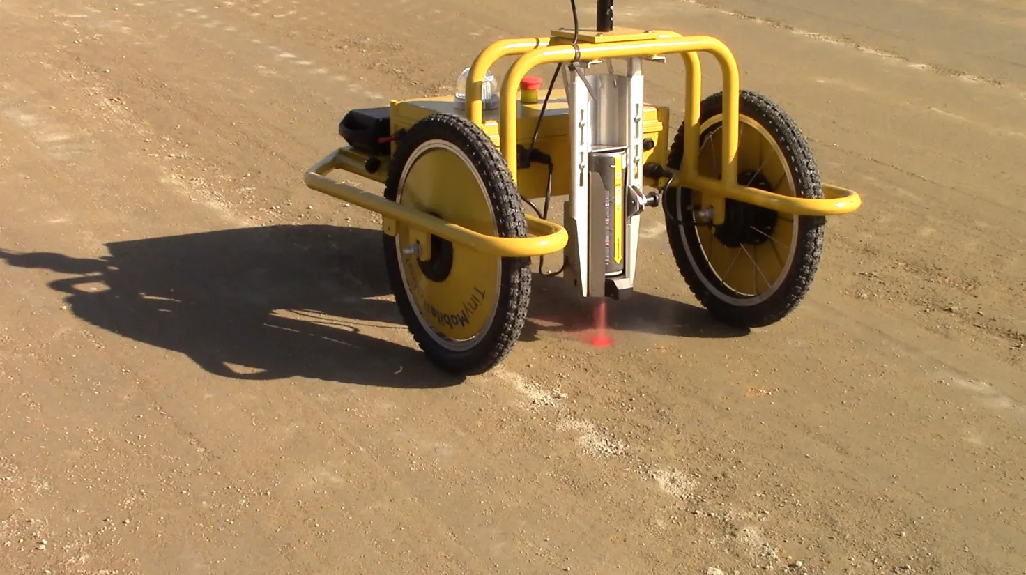
    Small is beautiful, especially when it comes to robots, explains Jens Peder Kristensen, director of Danish company TinyMobileRobots With the increased functionality of outdoor robots, the market for autonomous robots as a replacement for human work has widened. The human touch is still needed when dealing with terrain that is difficult to navigate or with a crowded construction site.