Information integration

The sophisticated Leica MobileMatriX 4.1 package provides a key tool for integrating the new Leica Viva Total Stations with other technologies. Highly sophisticated, the Leica MobileMatriX package is said to be the most advanced solution available for mobile GIS applications. The system can be used in combination with GNSS, Total Stations, Level, Digital Cameras, and Laser Range Finders (LRF). Using the imaging support of the new TS15 and TS11, users of the Leica MobileMatriX package can take an image with
February 17, 2012 Read time: 1 min
The sophisticated 265 Leica MobileMatriX 4.1 package provides a key tool for integrating the new Leica Viva Total Stations with other technologies. Highly sophisticated, the Leica MobileMatriX package is said to be the most advanced solution available for mobile GIS applications. The system can be used in combination with GNSS, Total Stations, Level, Digital Cameras, and Laser Range Finders (LRF). Using the imaging support of the new TS15 and TS11, users of the Leica MobileMatriX package can take an image with a Total Station and store it directly in a GIS database. Image assisted documentation enables users to supplement GIS archives with on-site information. In addition, the Leica MobileMatriX v4.1 can be operated with the latest Leica Viva GNSS receivers as well as having the capability to import RINEX data.

For more information on companies in this article

Related Content

  • US industry groups launch web-based platform PavementDesigner.org
    February 23, 2018
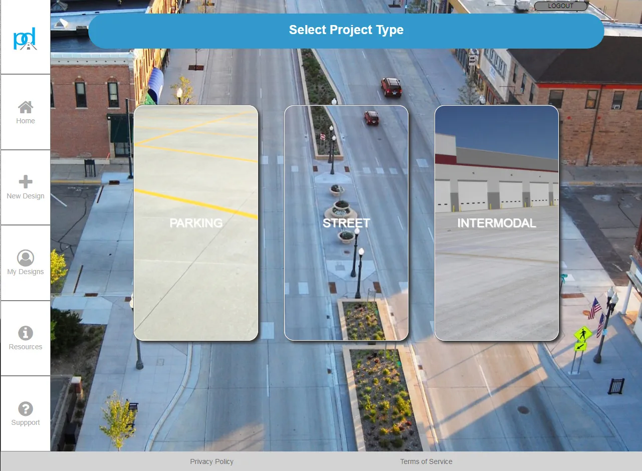
    A new online concrete pavement design tool has been launched in the US by three major cement and concrete organisations. PavementDesigner.org – available free of charge - was created for city, county, and consultant engineers as well as academics and anyone involved in design of roadway, industrial, and parking area pavements. PavementDesigner improves upon traditional pavement design software programs, according to its creators. The platform is being offered completely free of charge by the American
  • Using machine control in earthmoving boosts efficiency
    December 19, 2017
    The use of new machine control tools has made a significant boost in earthmoving efficiency. Automated grade control using GNSS signals has transformed how earthmoving contractors get work done. Through the engineering efforts of its innovators and developers, machine control technology has been improved and refined over the years. A development in the ongoing evolution of machine control technology is Topcon Positioning Systems’ introduction of its 3D-MCMAX integrated 3D dozer system. Most notably, the
  • Advanced driving simulator developed by TRL
    December 13, 2018
    In the UK, TRL is introducing a sophisticated driving simulator that will help with developing transport infrastructure as well as research into driving. This advanced system is intended to assist in driving future transport policy, customer safety and road network performance The new simulator can be used for behavioural research into driving and can be used as a validation tool. The complete simulator package features three main systems as it consists of the new full-size DigiCar, a portable version (M
  • Teledyne has the Çanakkale Bridge in sight
    August 12, 2022
    Teledyne FLIR’s incident detection cameras cover the entire length of the 4.6km bridge, part of Turkey’s Malkara-Çanakkale Motorway.