Information integration

The sophisticated Leica MobileMatriX 4.1 package provides a key tool for integrating the new Leica Viva Total Stations with other technologies. Highly sophisticated, the Leica MobileMatriX package is said to be the most advanced solution available for mobile GIS applications. The system can be used in combination with GNSS, Total Stations, Level, Digital Cameras, and Laser Range Finders (LRF). Using the imaging support of the new TS15 and TS11, users of the Leica MobileMatriX package can take an image with
February 17, 2012 Read time: 1 min
The sophisticated 265 Leica MobileMatriX 4.1 package provides a key tool for integrating the new Leica Viva Total Stations with other technologies. Highly sophisticated, the Leica MobileMatriX package is said to be the most advanced solution available for mobile GIS applications. The system can be used in combination with GNSS, Total Stations, Level, Digital Cameras, and Laser Range Finders (LRF). Using the imaging support of the new TS15 and TS11, users of the Leica MobileMatriX package can take an image with a Total Station and store it directly in a GIS database. Image assisted documentation enables users to supplement GIS archives with on-site information. In addition, the Leica MobileMatriX v4.1 can be operated with the latest Leica Viva GNSS receivers as well as having the capability to import RINEX data.

For more information on companies in this article

Related Content

  • Trimble is launching new machine control technology
    November 9, 2016
    Trimble is introducing a range of new technology options for customers that will boost working efficiency across a range of duties. The firm has also scored a major deal with one of China’s largest equipment manufacturers, XCMG.
  • Precision narrows the gap between design software and GIS
    March 20, 2012
    Greater precision is helping blur the boundaries between GIS technology and design software While GIS map based technology has extended its range across an ever more universal spectrum of uses in the highways sector, it is increasingly showing weaknesses for engineering purposes. It is very often not accurate enough. This has not mattered previously because the GIS tool has been seen essentially as an automated version of paper based systems from the design department's point of view. Where engineers
  • Leica Geosystems wins prestigious UK contract
    March 9, 2012
    After an 18 month competitive tendering process, Leica Geosystems has been awarded the contract to supply over two hundred survey grade Leica Viva GS15 GNSS receivers to Ordnance Survey, the national mapping agency for Great Britain.
  • Leica Geosystems offers smart compaction tool
    January 12, 2017
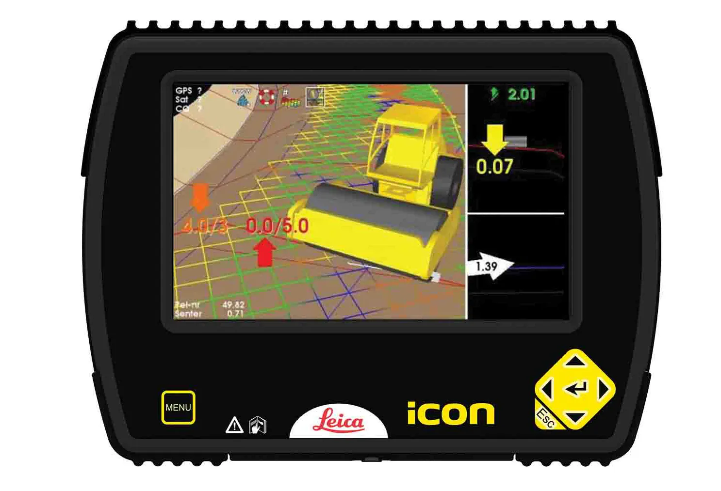
    Leica Geosystems is now offering a sophisticated machine control tool for use with compaction equipment. The firm’s advanced iCON roller package is said to offer contractors an effective solution that can deliver constant and effective compaction on any site. The new iCON roller has on-screen visualisation to show the user where completed passes have occurred and where more are needed for consistent results. Colour coding helps avoid costly reworking as pass count progress is constantly tracked. The unit