Information integration

The sophisticated Leica MobileMatriX 4.1 package provides a key tool for integrating the new Leica Viva Total Stations with other technologies. Highly sophisticated, the Leica MobileMatriX package is said to be the most advanced solution available for mobile GIS applications. The system can be used in combination with GNSS, Total Stations, Level, Digital Cameras, and Laser Range Finders (LRF). Using the imaging support of the new TS15 and TS11, users of the Leica MobileMatriX package can take an image with
February 17, 2012 Read time: 1 min
The sophisticated 265 Leica MobileMatriX 4.1 package provides a key tool for integrating the new Leica Viva Total Stations with other technologies. Highly sophisticated, the Leica MobileMatriX package is said to be the most advanced solution available for mobile GIS applications. The system can be used in combination with GNSS, Total Stations, Level, Digital Cameras, and Laser Range Finders (LRF). Using the imaging support of the new TS15 and TS11, users of the Leica MobileMatriX package can take an image with a Total Station and store it directly in a GIS database. Image assisted documentation enables users to supplement GIS archives with on-site information. In addition, the Leica MobileMatriX v4.1 can be operated with the latest Leica Viva GNSS receivers as well as having the capability to import RINEX data.

For more information on companies in this article

Related Content

  • Hawkeye 1000 DUO Released
    February 9, 2012
    ARRB Group has introduced the latest addition to the Hawkeye 1000 series, the Hawkeye 1000 DUO. The Hawkeye 1000 portable range was previously limited to a standalone laser profiler and a separate video imaging system. With recent advancements in computer hardware and an intense in-house development programme, ARRB Systems is now releasing the Hawkeye 1000 DUO which successfully combines the benefits of the two systems. Consisting of a single or dual laser profiler and a single dashboard-mounted video camer
  • INRIX redefines Traffic Data Analysis
    October 26, 2016
    INRIX, a global developer of car services and movement analytics, has launched INRIX Roadway Analytics, a set of on-demand tools to be available in Europe and the Middle East this autumn. It enables instant analysis of INRIX XD Traffic information via the cloud. The cost of infrastructure congestion is estimated at 1% of GDP across Europe. At the same time, research suggests that up to US$400 billion could be saved globally each year as a result of improving existing infrastructure through better managem
  • Improved excavators from major firms
    January 31, 2022
    New excavators are being offered that offer improved performance over previous generation machines
  • ACEpro: Operator Friendliness Is Key to Enhanced Intelligent Compaction System
    December 18, 2024
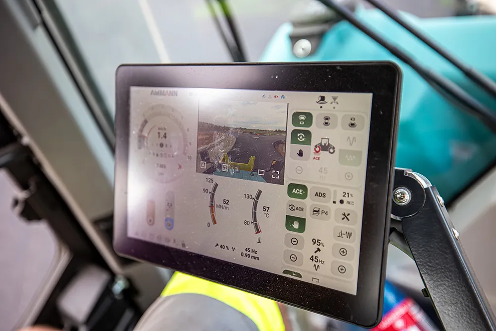
    LANGENTHAL, Switzerland – Ammann has upgraded its advanced Intelligent Compaction system, ACEpro, to make it easier than ever for operators to access the built-in technology. The enhanced system is being integrated into Ammann ARP 75 and ARP 75 C Pivot-Steer Tandem Rollers.