Information integration

The sophisticated Leica MobileMatriX 4.1 package provides a key tool for integrating the new Leica Viva Total Stations with other technologies. Highly sophisticated, the Leica MobileMatriX package is said to be the most advanced solution available for mobile GIS applications. The system can be used in combination with GNSS, Total Stations, Level, Digital Cameras, and Laser Range Finders (LRF). Using the imaging support of the new TS15 and TS11, users of the Leica MobileMatriX package can take an image with
February 17, 2012 Read time: 1 min
The sophisticated 265 Leica MobileMatriX 4.1 package provides a key tool for integrating the new Leica Viva Total Stations with other technologies. Highly sophisticated, the Leica MobileMatriX package is said to be the most advanced solution available for mobile GIS applications. The system can be used in combination with GNSS, Total Stations, Level, Digital Cameras, and Laser Range Finders (LRF). Using the imaging support of the new TS15 and TS11, users of the Leica MobileMatriX package can take an image with a Total Station and store it directly in a GIS database. Image assisted documentation enables users to supplement GIS archives with on-site information. In addition, the Leica MobileMatriX v4.1 can be operated with the latest Leica Viva GNSS receivers as well as having the capability to import RINEX data.

For more information on companies in this article

Related Content

  • Leica’s new Digicat xf-Series cable locators and transmitters
    January 30, 2013
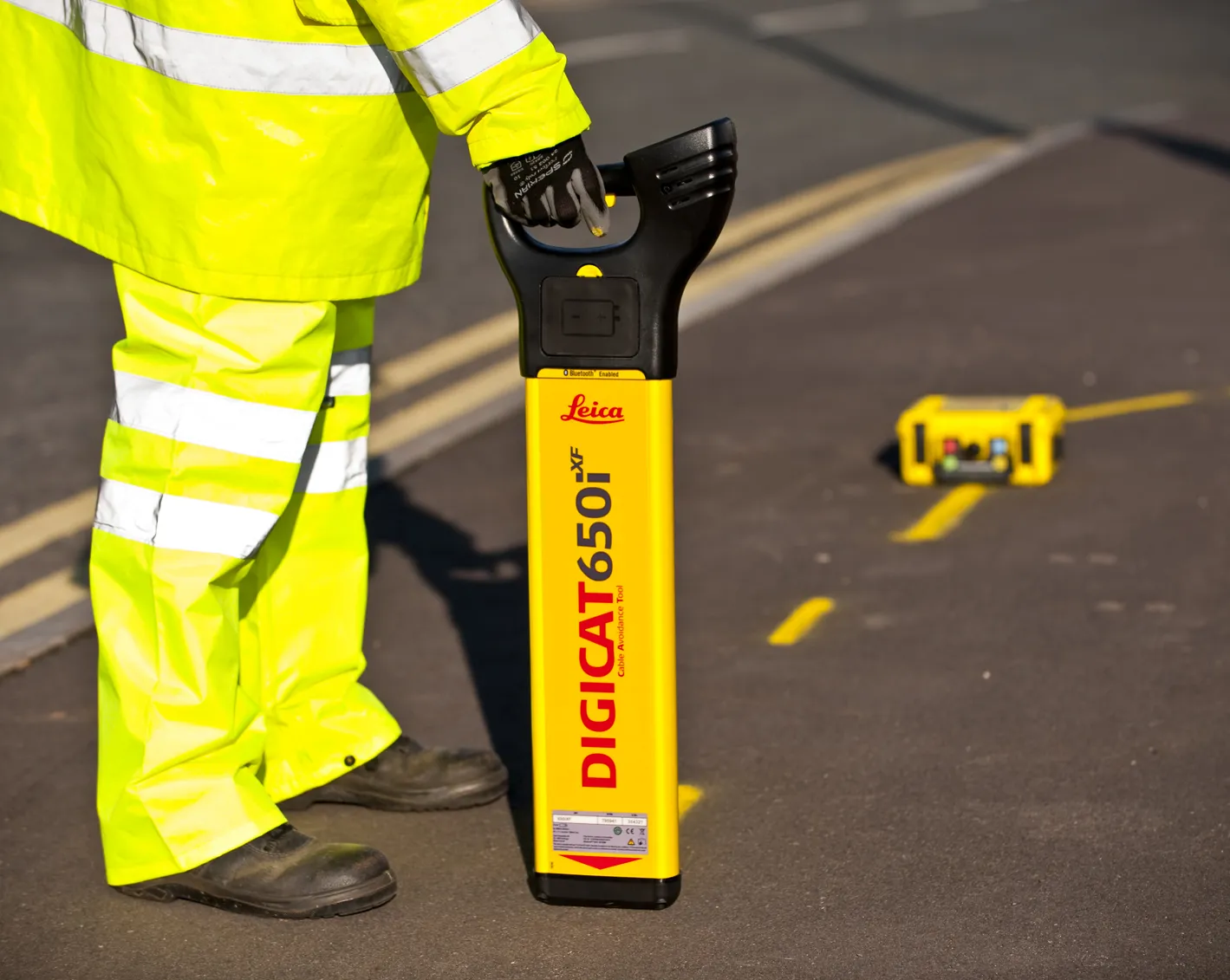
    Leica Geosystems has launched the latest editions to the Digisystem product range: the Leica Digicat xf-Series. With Leica Geosystems’ new xf-Series cable locators and transmitters, users are said to be able to accurately detect and trace utilities faster and over a greater distance. The Leica Digicat xf-Series is said by the Swiss firm to have been specifically designed with long distance tracing in mind. The ability to trace transmitter frequencies of 512Hz and 640Hz provides users with a greater tracing r
  • Smart system for recording road repairs
    May 25, 2016
    The new Site-Track system is said to offer a sophisticated tool for tracking road repairs. The system can be used for identifying new installation or repairs for utilities and recording all utilities in the immediate area of the installation. The package offers a method of relocating previously recorded information rapidly, without the need for advanced skills or technologies such as GPS and is said to be invaluable for night-time or emergency works. The package can provide accurate location of critica
  • Advances in concrete paving technology will increase efficiency
    July 1, 2014
    New developments in concrete paving will increase working efficiency for contractors - Mike Woof writes The concrete paving market is a fiercely competitive segment of the off-highway construction machinery business. Although there are only a few key players in this niche market, the firms are constantly developing new systems, equipment and methods in a bid to help improve working efficiencies for contractors working in the sector. It is of note that the majority of the key players in the concrete pavin
  • New demolition excavators
    April 29, 2025
    Extended reach excavators offers versatility for demolition works, with new models now available