Improved survey data handling

Leica Geosystems says that its Leica MobileMatriX v3.0 package can be used to synchronise survey data with an enterprise geodatabase, transfer digital images taken from a mobile phone via Bluetooth and link it with a feature, in addition to many other improvements. The firms says that its MobileMatriX v3.0 package offers a flexible and powerful mobile GIS application and can be used in both large projects and small projects involving only a few field crews. Survey data can be replicated within the editing p
August 2, 2012 Read time: 2 mins
265 Leica Geosystems says that its Leica MobileMatriX v3.0 package can be used to synchronise survey data with an enterprise geodatabase, transfer digital images taken from a mobile phone via Bluetooth and link it with a feature, in addition to many other improvements. The firms says that its MobileMatriX v3.0 package offers a flexible and powerful mobile GIS application and can be used in both large projects and small projects involving only a few field crews.

Survey data can be replicated within the editing process for customers using ArcGIS to manage spatial data. This allows users to extend their geospatial applications to their colleagues in the field, creating unprecedented data management capabilities. By implementing Leica MobileMatriX 3.0 survey data synchronization in the project workflow, a client can now connect to an enterprise database and modify or re-compute the survey measurements. This improves the workflow between field and office and can provide time and cost savings up to 50%. With Leica MobileMatriX 3.0, the subcontractor can provide a finished geodatabase to the client, without resorting to a conversion process and current analysis has shown a potential time/cost savings of up to and beyond 30-50%.

For more information on companies in this article

Related Content

  • Brisbane’s Airport: Innovative Management of One of the World’s Busiest Runways
    June 26, 2014
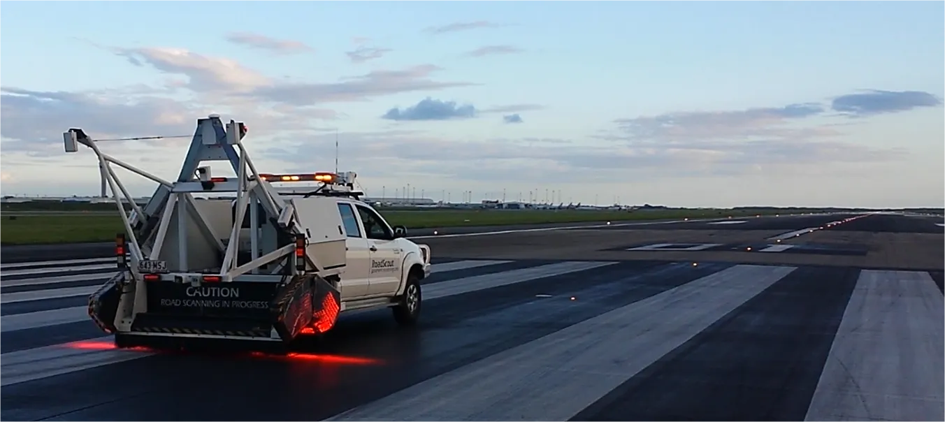
    When it comes to runways, there are few busier then Brisbane’s main runway. Servicing both domestic and international travel, with over 200,000 movements per year, operating without a curfew Brisbane’s main runway is the busiest in Australia. For maintenance, crews only have a limited period of time to determine the pavement condition, normally during the night, making the detection of pavement faults difficult. To resolve this issue, a new high speed pavement scanner was used to rapidly survey the pavem
  • Fast and accurate surveying
    February 28, 2012
    According to Leica Geosystems, its new HDS6100 unit is an improved, ultra-high speed laser scanner for survey applications. The Leica HDS6100 features several upgrades over the earlier HDS6000 scanner being replaced. These include a 37% increase in the temperature range (now -10ºC to +45ºC), a battery life of 2.5 hours, an integrated wireless LAN (WLAN) scanner control option and reduced noise at ranges of 25-50m.
  • Improved traffic information flow
    August 2, 2012
    Siemens says it is adding further performance features to its sophisticated Comet UTMC traffic management and information system. This technology now includes the complete integration of journey time monitoring (JTM) and can be linked directly to ANPR cameras. This development allows the latest generation of Comet equipment to monitor the network performance and improve the integration of urban traffic management information. The firm says that the new Comet UTMC system allows network managers to monitor lo
  • New technology solutions
    April 30, 2024
    Construction machinery manufacturers are introducing new systems that can boost machine efficiency and site safety – Mike Woof writes