Improved survey data handling

Leica Geosystems says that its Leica MobileMatriX v3.0 package can be used to synchronise survey data with an enterprise geodatabase, transfer digital images taken from a mobile phone via Bluetooth and link it with a feature, in addition to many other improvements. The firms says that its MobileMatriX v3.0 package offers a flexible and powerful mobile GIS application and can be used in both large projects and small projects involving only a few field crews. Survey data can be replicated within the editing p
August 2, 2012 Read time: 2 mins
265 Leica Geosystems says that its Leica MobileMatriX v3.0 package can be used to synchronise survey data with an enterprise geodatabase, transfer digital images taken from a mobile phone via Bluetooth and link it with a feature, in addition to many other improvements. The firms says that its MobileMatriX v3.0 package offers a flexible and powerful mobile GIS application and can be used in both large projects and small projects involving only a few field crews.

Survey data can be replicated within the editing process for customers using ArcGIS to manage spatial data. This allows users to extend their geospatial applications to their colleagues in the field, creating unprecedented data management capabilities. By implementing Leica MobileMatriX 3.0 survey data synchronization in the project workflow, a client can now connect to an enterprise database and modify or re-compute the survey measurements. This improves the workflow between field and office and can provide time and cost savings up to 50%. With Leica MobileMatriX 3.0, the subcontractor can provide a finished geodatabase to the client, without resorting to a conversion process and current analysis has shown a potential time/cost savings of up to and beyond 30-50%.

For more information on companies in this article

Related Content

  • Leica launch next generation machine control receiver
    January 6, 2017
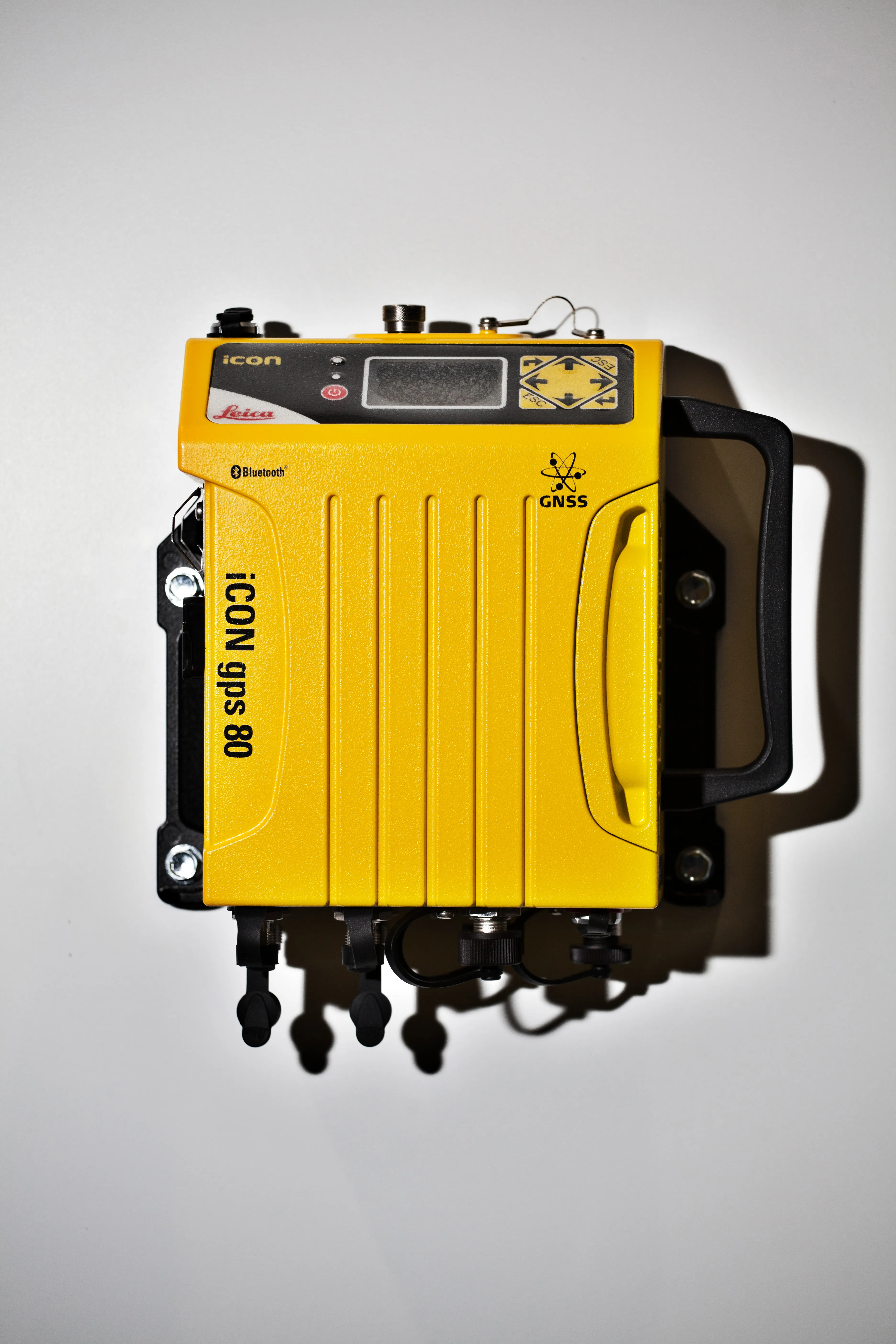
    The Leica iCON gps 80 machine control receiver is a compact and rugged GNSS receiver especially developed for a wide range of machine control applications to increase the overall positioning performance on all construction equipment. It easily and safely fits into any construction machine cabin, communicates seamlessly with all iCONtrol solutions on-site and integrates the iCON telematics fleet management software. The flexible communication provides smooth integration with equipment and solutions for OEM p
  • Leica launch next generation machine control receiver
    March 6, 2014
    The Leica iCON gps 80 machine control receiver is a compact and rugged GNSS receiver especially developed for a wide range of machine control applications to increase the overall positioning performance on all construction equipment. It easily and safely fits into any construction machine cabin, communicates seamlessly with all iCONtrol solutions on-site and integrates the iCON telematics fleet management software. The flexible communication provides smooth integration with equipment and solutions for OEM p
  • Road monitoring tehcnology
    February 28, 2012
    Fugro Roadware says that its sophisticated Automatic Road Analyser (ARAN) data collection platform offers further functions with the development of the latest 9000 model. A product of two years of research and development, the new ARAN 9000 system has a 50% reduction in computing hardware over the previous model but offers the same functions, is fault tolerant, offers a plug and play system integration and uses a Windows-based operating system.
  • Epson’s Moverio smart glasses improve safety for construction drones
    March 7, 2017
    Epson, the world’s largest projector manufacturer, has teamed up with drone manufacturer DJI to create smart glasses aimed at reducing the likelihood of accidents. The technology will help drone pilots in the US to meet the new Federal Aviation Administration rules which require a visible line of site.