Improved survey data handling

Leica Geosystems says that its Leica MobileMatriX v3.0 package can be used to synchronise survey data with an enterprise geodatabase, transfer digital images taken from a mobile phone via Bluetooth and link it with a feature, in addition to many other improvements. The firms says that its MobileMatriX v3.0 package offers a flexible and powerful mobile GIS application and can be used in both large projects and small projects involving only a few field crews. Survey data can be replicated within the editing p
August 2, 2012 Read time: 2 mins
265 Leica Geosystems says that its Leica MobileMatriX v3.0 package can be used to synchronise survey data with an enterprise geodatabase, transfer digital images taken from a mobile phone via Bluetooth and link it with a feature, in addition to many other improvements. The firms says that its MobileMatriX v3.0 package offers a flexible and powerful mobile GIS application and can be used in both large projects and small projects involving only a few field crews.

Survey data can be replicated within the editing process for customers using ArcGIS to manage spatial data. This allows users to extend their geospatial applications to their colleagues in the field, creating unprecedented data management capabilities. By implementing Leica MobileMatriX 3.0 survey data synchronization in the project workflow, a client can now connect to an enterprise database and modify or re-compute the survey measurements. This improves the workflow between field and office and can provide time and cost savings up to 50%. With Leica MobileMatriX 3.0, the subcontractor can provide a finished geodatabase to the client, without resorting to a conversion process and current analysis has shown a potential time/cost savings of up to and beyond 30-50%.

For more information on companies in this article

Related Content

  • Go-faster road inspections with a GoPro
    November 29, 2023
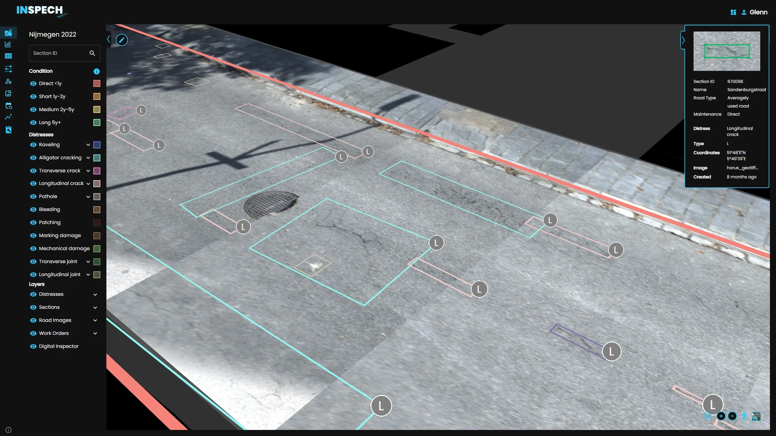
    BrainCreators has launched in the UK a cost-conscious “pro” edition of its road inspection system called INSPECH.
  • Trimble continues to develop connected community portfolio
    January 6, 2017
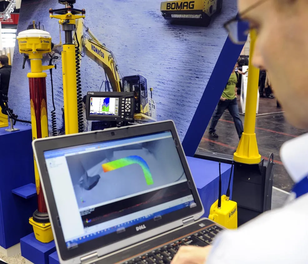
    Trimble is demonstrating its sophisticated Connected Site portfolio for heavy civil contractors, which connects assets, information, people, machines and sites. This package can meet a vast array of workflow needs of different stakeholders within the contractor’s organisation and meets demand for greater efficiency, shorter completion times and higher quality. Trimble is demonstrating how its Connected Site solutions leverage real-time wireless data flow between the office and job site. This technology allo
  • Trimble continues to develop connected community portfolio
    April 9, 2013
    Trimble is demonstrating its sophisticated Connected Site portfolio for heavy civil contractors, which connects assets, information, people, machines and sites. This package can meet a vast array of workflow needs of different stakeholders within the contractor’s organisation and meets demand for greater efficiency, shorter completion times and higher quality. Trimble is demonstrating how its Connected Site solutions leverage real-time wireless data flow between the office and job site. This technology allo
  • New app from Topcon handles positioning data
    November 23, 2015
    Topcon Positioning has developed a new, no-cost app for the LN-100 Layout Navigator system. This now allows cross-platform support for the MAGNET Construct app and was initially released for the Android market but is now available for Apple devices as well. The free MAGNET Construct app offers options to wirelessly connect to and drive an LN-100 for fast as-built measurements as well as graphical guidance to design data. According to the firm, this cross-platform compatibility of the MAGNET Construct app al