Improved survey data handling

Leica Geosystems says that its Leica MobileMatriX v3.0 package can be used to synchronise survey data with an enterprise geodatabase, transfer digital images taken from a mobile phone via Bluetooth and link it with a feature, in addition to many other improvements. The firms says that its MobileMatriX v3.0 package offers a flexible and powerful mobile GIS application and can be used in both large projects and small projects involving only a few field crews. Survey data can be replicated within the editing p
August 2, 2012 Read time: 2 mins
265 Leica Geosystems says that its Leica MobileMatriX v3.0 package can be used to synchronise survey data with an enterprise geodatabase, transfer digital images taken from a mobile phone via Bluetooth and link it with a feature, in addition to many other improvements. The firms says that its MobileMatriX v3.0 package offers a flexible and powerful mobile GIS application and can be used in both large projects and small projects involving only a few field crews.

Survey data can be replicated within the editing process for customers using ArcGIS to manage spatial data. This allows users to extend their geospatial applications to their colleagues in the field, creating unprecedented data management capabilities. By implementing Leica MobileMatriX 3.0 survey data synchronization in the project workflow, a client can now connect to an enterprise database and modify or re-compute the survey measurements. This improves the workflow between field and office and can provide time and cost savings up to 50%. With Leica MobileMatriX 3.0, the subcontractor can provide a finished geodatabase to the client, without resorting to a conversion process and current analysis has shown a potential time/cost savings of up to and beyond 30-50%.

For more information on companies in this article

Related Content

  • Technology and collaboration bring massive time savings
    December 2, 2021
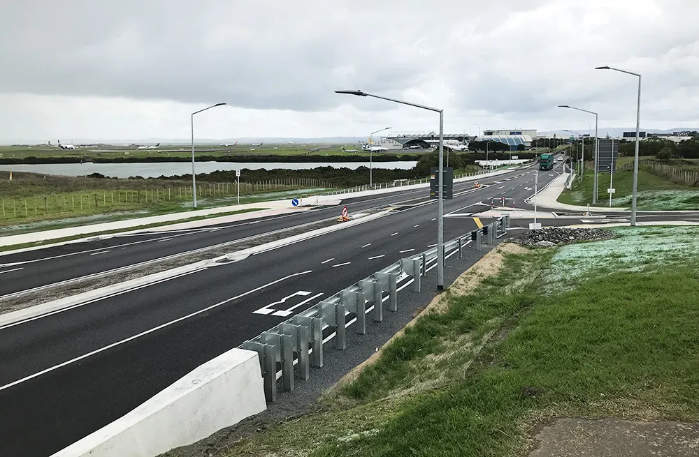
    The link between any major city and its airport is a crucial one. In Auckland, New Zealand, State Highway 20B connects the city of 1.6 million people with the rest of the nation and the international airport, one of only two roads leading there
  • Novel survey solution from Hexagon
    January 6, 2023
    Leica Geosystems, part of Hexagon, says that its Leica iCON gps 160 package is a next-generation construction Smart Antenna with features that increase productivity for stakeout and measurement applications on the jobsite.
  • Long life and reliability from innovative crusher
    July 9, 2012
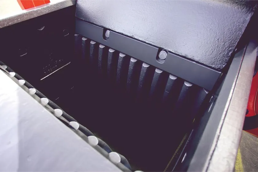
    New technology broadens Sandvik's offering for crushing and screening. Mike Woof reports Sandvik is making a series of upgrades to its crushing and screening line in jaw and cone crushers as well as wear parts, and these should suit an array of applications ranging from small recycling operations up to large quarry sites. At the more versatile end of the range is the new CJ208 jaw crusher, the latest addition to the CJ200 series jaw crusher line-up. This crusher is the smallest of the CJ200 Series and offer
  • Analysing carbon quantities for construction
    October 14, 2024
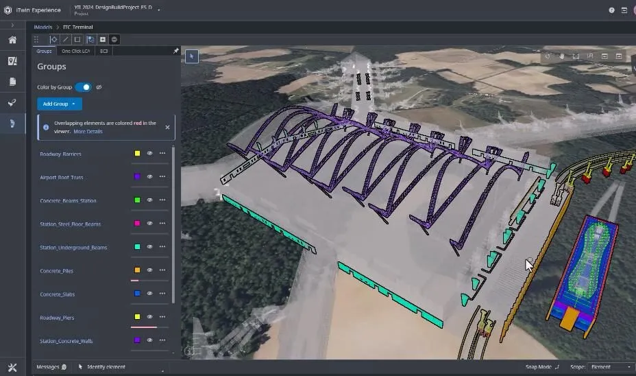
    Using software tools can help analysing carbon from for construction works.