Improved survey data handling

Leica Geosystems says that its Leica MobileMatriX v3.0 package can be used to synchronise survey data with an enterprise geodatabase, transfer digital images taken from a mobile phone via Bluetooth and link it with a feature, in addition to many other improvements. The firms says that its MobileMatriX v3.0 package offers a flexible and powerful mobile GIS application and can be used in both large projects and small projects involving only a few field crews. Survey data can be replicated within the editing p
August 2, 2012 Read time: 2 mins
265 Leica Geosystems says that its Leica MobileMatriX v3.0 package can be used to synchronise survey data with an enterprise geodatabase, transfer digital images taken from a mobile phone via Bluetooth and link it with a feature, in addition to many other improvements. The firms says that its MobileMatriX v3.0 package offers a flexible and powerful mobile GIS application and can be used in both large projects and small projects involving only a few field crews.

Survey data can be replicated within the editing process for customers using ArcGIS to manage spatial data. This allows users to extend their geospatial applications to their colleagues in the field, creating unprecedented data management capabilities. By implementing Leica MobileMatriX 3.0 survey data synchronization in the project workflow, a client can now connect to an enterprise database and modify or re-compute the survey measurements. This improves the workflow between field and office and can provide time and cost savings up to 50%. With Leica MobileMatriX 3.0, the subcontractor can provide a finished geodatabase to the client, without resorting to a conversion process and current analysis has shown a potential time/cost savings of up to and beyond 30-50%.

For more information on companies in this article

Related Content

  • Big measuring from TinyMobileRobots
    February 27, 2017
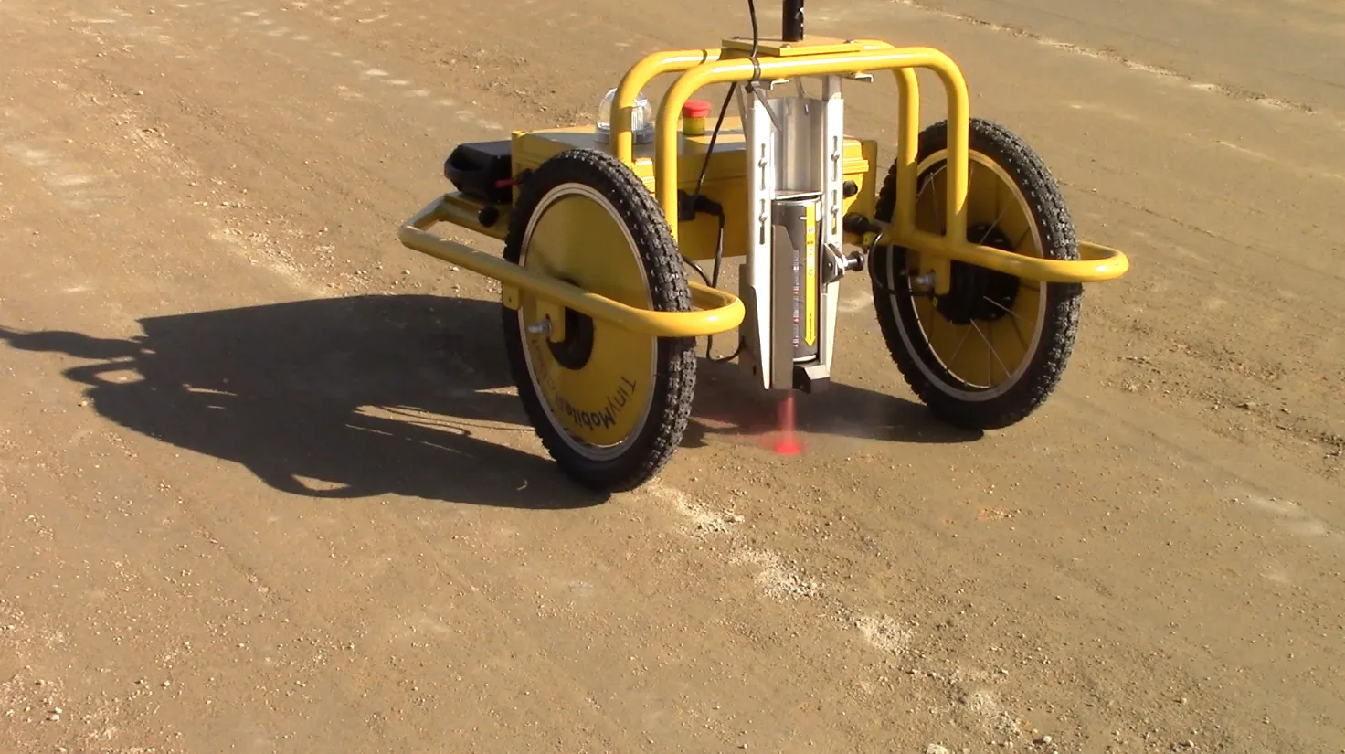
    Small is beautiful, especially when it comes to robots, explains Jens Peder Kristensen, director of Danish company TinyMobileRobots With the increased functionality of outdoor robots, the market for autonomous robots as a replacement for human work has widened. The human touch is still needed when dealing with terrain that is difficult to navigate or with a crowded construction site.
  • GPS machine control boosts productivity
    February 23, 2012
    New technology can allow more productive and more cost-effective earthmoving jobs. Mike Woof reports
  • A new road maintenance approach developed jointly can improve efficiency
    April 11, 2013
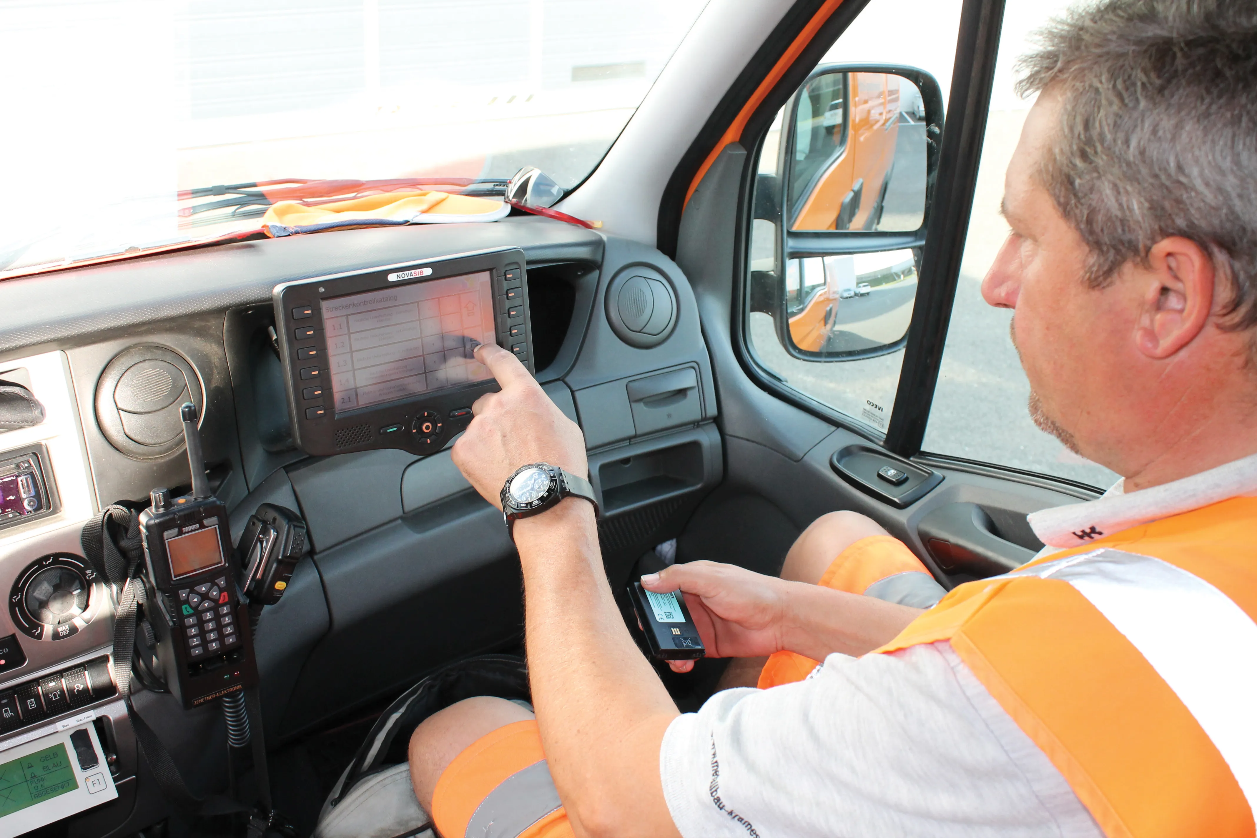
    Innovative road maintenance solutions in Austria. A sophisticated system for managing maintenance tasks has been developed in Austria to meet the specific needs of a highway concession package. Bonaventura Straßenerhaltungs-GmbH is a 100%-owned business of the French company Egis Road Operation S.A., and was founded to provide the road maintenance services of the first Austrian PPP infrastructure project "Ypsilon"(PPP-Ostregion, Paket 1) granted by ASFINAG. The concessionaire won a 30-year contract in 2006
  • An improved paving control system is available from MOBA
    January 6, 2017
    MOBA is aiming to improve paving quality and cut contractor’s costs with its sophisticated heat measuring package for asphalt pavers, as well as its new sonic ski system. Called the PAVE-IR, this heat measuring system provides accurate temperature scanning and monitoring of mat temperature during asphalt paving. This can be documented for an entire project and allow contractors to optimise processes and verify the quality of paving work. Marketing manager Christine Seidel said, “The early generation system