Improved survey data handling

Leica Geosystems says that its Leica MobileMatriX v3.0 package can be used to synchronise survey data with an enterprise geodatabase, transfer digital images taken from a mobile phone via Bluetooth and link it with a feature, in addition to many other improvements. The firms says that its MobileMatriX v3.0 package offers a flexible and powerful mobile GIS application and can be used in both large projects and small projects involving only a few field crews. Survey data can be replicated within the editing p
August 2, 2012 Read time: 2 mins
265 Leica Geosystems says that its Leica MobileMatriX v3.0 package can be used to synchronise survey data with an enterprise geodatabase, transfer digital images taken from a mobile phone via Bluetooth and link it with a feature, in addition to many other improvements. The firms says that its MobileMatriX v3.0 package offers a flexible and powerful mobile GIS application and can be used in both large projects and small projects involving only a few field crews.

Survey data can be replicated within the editing process for customers using ArcGIS to manage spatial data. This allows users to extend their geospatial applications to their colleagues in the field, creating unprecedented data management capabilities. By implementing Leica MobileMatriX 3.0 survey data synchronization in the project workflow, a client can now connect to an enterprise database and modify or re-compute the survey measurements. This improves the workflow between field and office and can provide time and cost savings up to 50%. With Leica MobileMatriX 3.0, the subcontractor can provide a finished geodatabase to the client, without resorting to a conversion process and current analysis has shown a potential time/cost savings of up to and beyond 30-50%.

For more information on companies in this article

Related Content

  • Topcon develops advanced software tool
    February 8, 2013
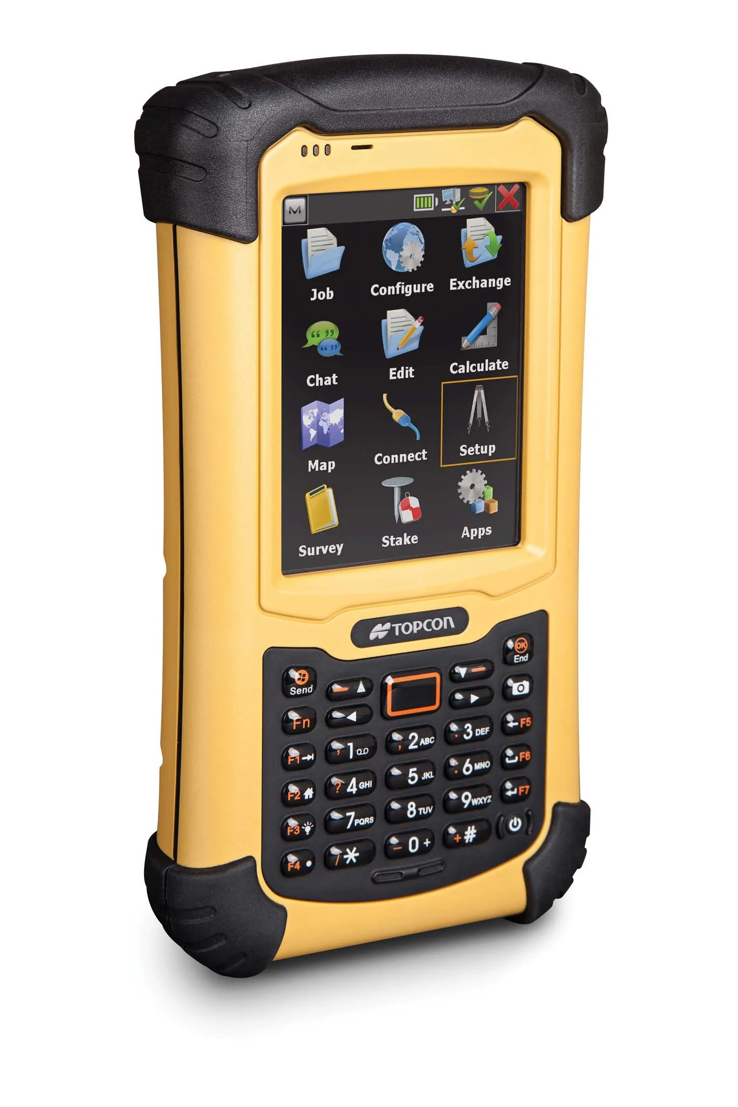
    Topcon Europe Positioning is offering upgrades to its MAGNET software products, which have benefited from the firm’s recent tie-up with Autodesk. The MAGNET Enterprise package is a cloud service that connects the firm’s Field and Office products and provides a web-based interface to company data and new versions of MAGNET Field and MAGNET Office are available.
  • On-site computing power
    August 2, 2012
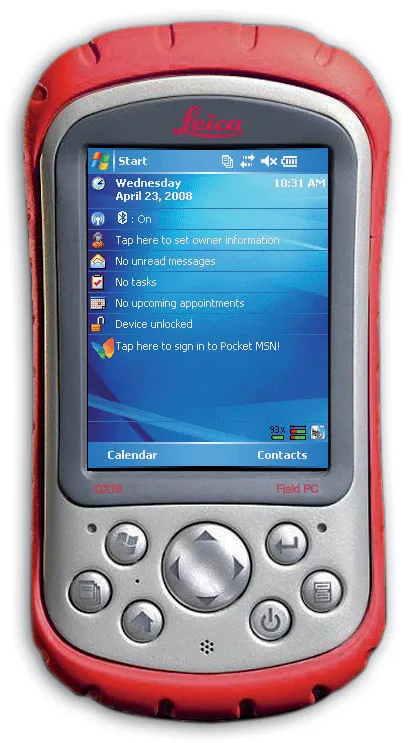
    Leica Geosystems is expanding its range with the launch of its Leica DX10 Field Controller. This robust site PDA is designed specifically for use in the tough construction environment, is compact, versatile and powerful. The Leica DX10 delivers high performance and reliability and can cope with vibration, shock and temperature extremes. It features an ergonomically shaped case and weighs just 482grammes. Features include Bluetooth capabilities, a high contrast colour display, a 520MHz Intel Xscale processor
  • Advanced concrete slipforming technology coming to market
    August 1, 2019
    New concrete slipforming technology is said to offer increased performance over earlier generation equipment - Mike Woof writes
  • Topcon unveils FC-336 date controller
    March 27, 2014
    Topcon has unveiled its new FC-336 data controller designed specifically for the construction industry. In addition to providing field crews with access to MAGNET Enterprise to send and receive data files, the new controller operates with Topcon MAGNET Field, Site and Layout software, as well as Topcon Pocket 3D. A compact and lightweight handheld controller, the FC-336 works with all Topcon GNSS receivers and total stations.