Improved survey data handling

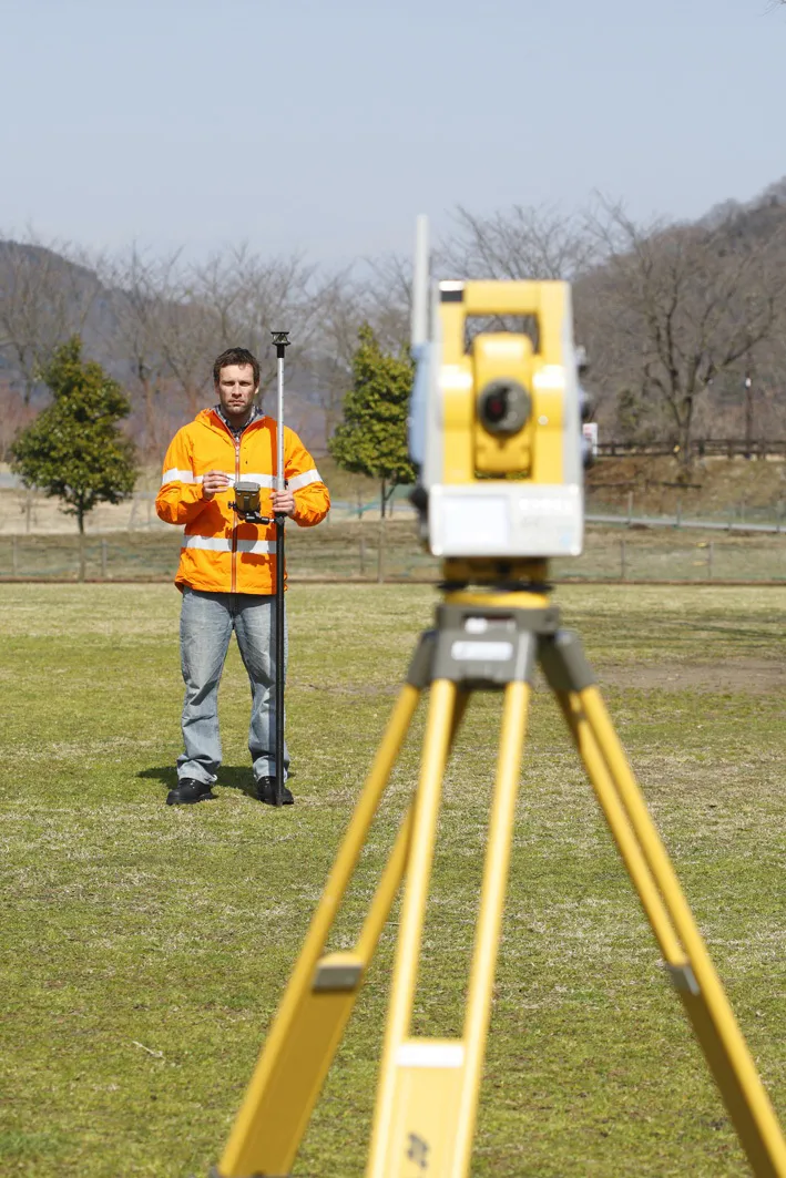
Leica Geosystems says that its Leica MobileMatriX v3.0 package can be used to synchronise survey data with an enterprise geodatabase, transfer digital images taken from a mobile phone via Bluetooth and link it with a feature, in addition to many other improvements. The firms says that its MobileMatriX v3.0 package offers a flexible and powerful mobile GIS application and can be used in both large projects and small projects involving only a few field crews. Survey data can be replicated within the editing p
August 2, 2012 Read time: 2 mins
265 Leica Geosystems says that its Leica MobileMatriX v3.0 package can be used to synchronise survey data with an enterprise geodatabase, transfer digital images taken from a mobile phone via Bluetooth and link it with a feature, in addition to many other improvements. The firms says that its MobileMatriX v3.0 package offers a flexible and powerful mobile GIS application and can be used in both large projects and small projects involving only a few field crews.

Survey data can be replicated within the editing process for customers using ArcGIS to manage spatial data. This allows users to extend their geospatial applications to their colleagues in the field, creating unprecedented data management capabilities. By implementing Leica MobileMatriX 3.0 survey data synchronization in the project workflow, a client can now connect to an enterprise database and modify or re-compute the survey measurements. This improves the workflow between field and office and can provide time and cost savings up to 50%. With Leica MobileMatriX 3.0, the subcontractor can provide a finished geodatabase to the client, without resorting to a conversion process and current analysis has shown a potential time/cost savings of up to and beyond 30-50%.

For more information on companies in this article

Related Content

  • Innovations in concrete paving technology
    March 16, 2012
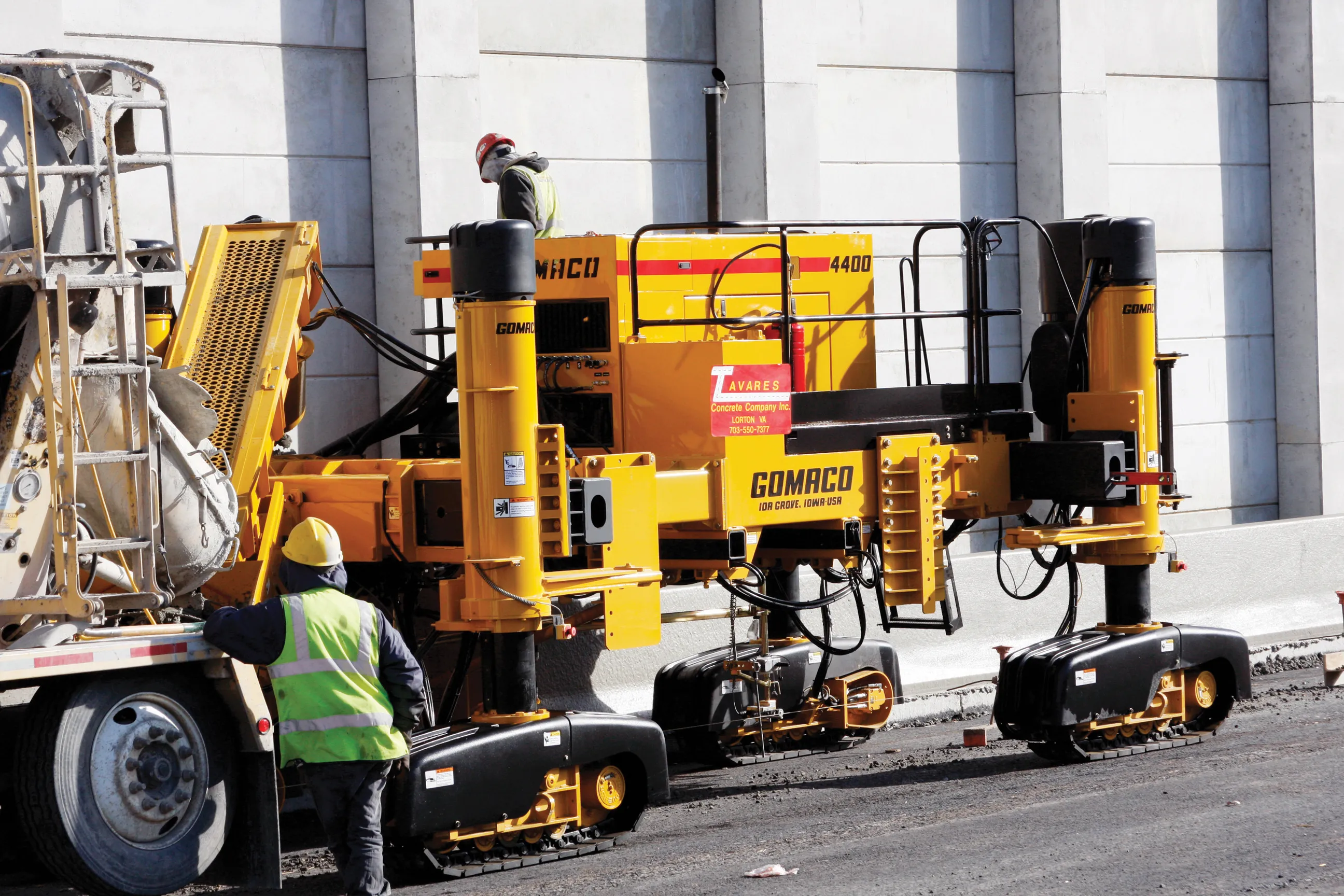
    Paving with concrete offers a strong and long life base for a roadway, with manufacturers continuing to develop technologies – Mike Woof reports. Innovation comes fast in the concrete paving market with a number of specialist suppliers offering an array of solutions to meet the needs of slipforming contractors. These machines can be used for a range of applications from large-scale airport runway or highway construction duties, tunnel jobs, bridge decks, barriers, traffic islands and kerbs. Because the app
  • The era of workzone data
    July 4, 2018
    Portable work zone messaging is now integral - not an add-on - when it comes to safety on large-scale highway projects. Andrew Williams* reports. Portable work zone ITS solutions have emerged in recent years as important flexible tools for managing major roadwork projects, from new-build to upgrades. They effectively ensure traffic disruption is kept to a minimum and lives can be saved. As such, the technology forms a central component of a major €1.7 billion project in the southern English county of Cambr
  • Surveying utilities across the UK
    December 11, 2024
    Ordnance Survey is surveying utilities across the UK.
  • Topcon: 'next generation' technology
    February 14, 2012
    Topcon Europe Positioning has introduced its 'next-generation' field controller technology with its new FC-250, which is designed to give users increased power and performance in a rugged and compact unit.