Improved survey data handling

Leica Geosystems says that its Leica MobileMatriX v3.0 package can be used to synchronise survey data with an enterprise geodatabase, transfer digital images taken from a mobile phone via Bluetooth and link it with a feature, in addition to many other improvements. The firms says that its MobileMatriX v3.0 package offers a flexible and powerful mobile GIS application and can be used in both large projects and small projects involving only a few field crews. Survey data can be replicated within the editing p
August 2, 2012 Read time: 2 mins
265 Leica Geosystems says that its Leica MobileMatriX v3.0 package can be used to synchronise survey data with an enterprise geodatabase, transfer digital images taken from a mobile phone via Bluetooth and link it with a feature, in addition to many other improvements. The firms says that its MobileMatriX v3.0 package offers a flexible and powerful mobile GIS application and can be used in both large projects and small projects involving only a few field crews.

Survey data can be replicated within the editing process for customers using ArcGIS to manage spatial data. This allows users to extend their geospatial applications to their colleagues in the field, creating unprecedented data management capabilities. By implementing Leica MobileMatriX 3.0 survey data synchronization in the project workflow, a client can now connect to an enterprise database and modify or re-compute the survey measurements. This improves the workflow between field and office and can provide time and cost savings up to 50%. With Leica MobileMatriX 3.0, the subcontractor can provide a finished geodatabase to the client, without resorting to a conversion process and current analysis has shown a potential time/cost savings of up to and beyond 30-50%.

For more information on companies in this article

Related Content

  • Valerann wins AI European Space Agency deal
    April 25, 2025
    Valerann’s traffic monitoring contract is from ESA’s Business Applications and Space Solutions (BASS) programme which supports services that use space technology and data in markets such as transportation.
  • Bentley Systems expanding product range and operations
    October 16, 2018
    Software specialist Bentley Systems is expanding its range of software products both through key acquisitions and in-house developments, as well as developing its partnerships with other firms. Two firms Bentley has bought are UK company Legion, which is a leading provider of advanced pedestrian modelling software, and the Swedish company Agency9, which offers city-scale digital twin cloud services that will help enable smart city development. Bentley is itself introducing its iTwin Services platform, for
  • Weigh in motion technology reduces road damage
    February 8, 2012
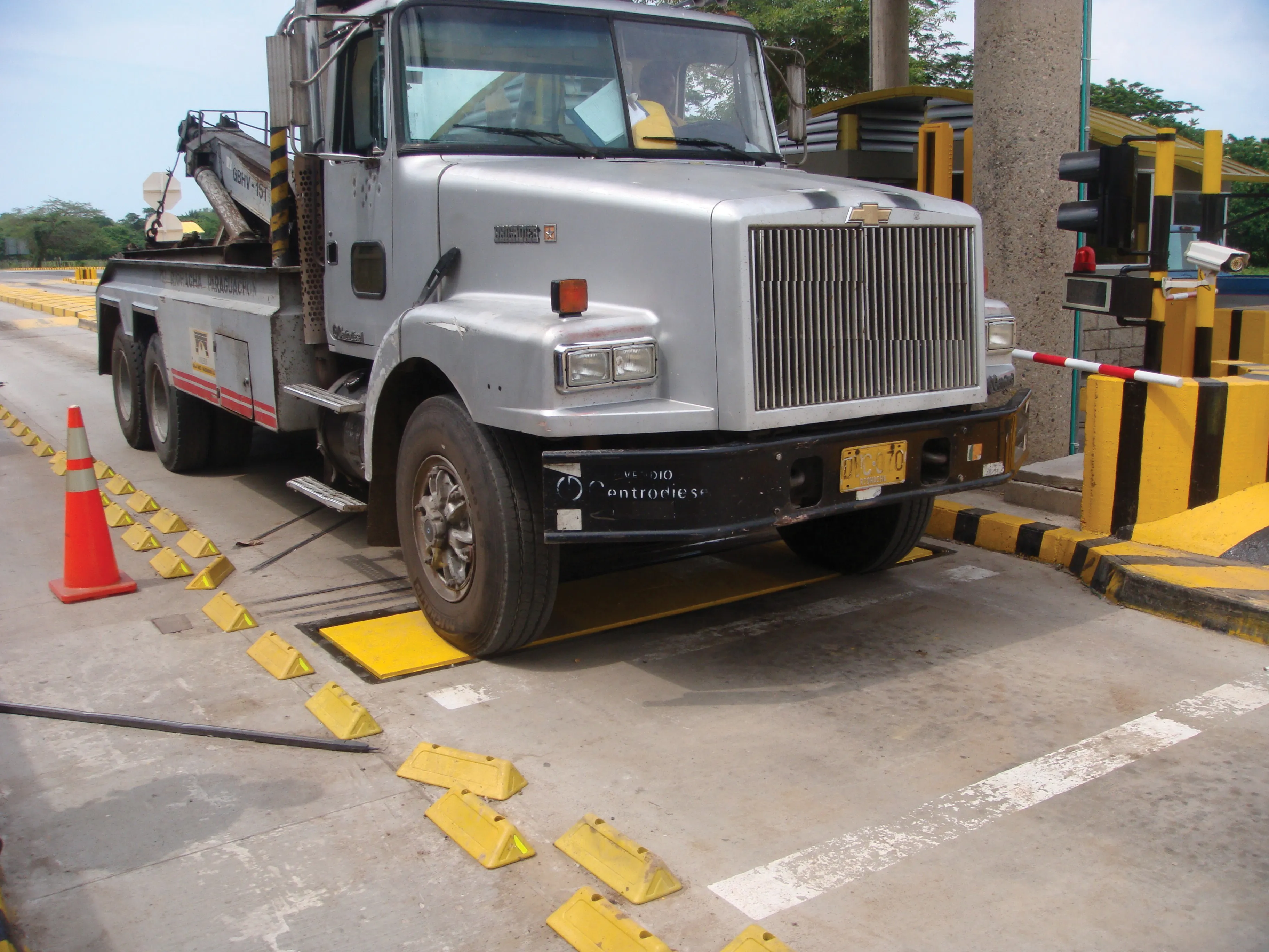
    Overweight vehicles cause enormous damage to road structures but they can be caught, even at high speed. Weigh-in-motion or WIM devices are designed to capture and record axle weights and gross vehicle weights as vehicles drive over a measurement site.
  • New software makes road marking applications easier
    February 17, 2012
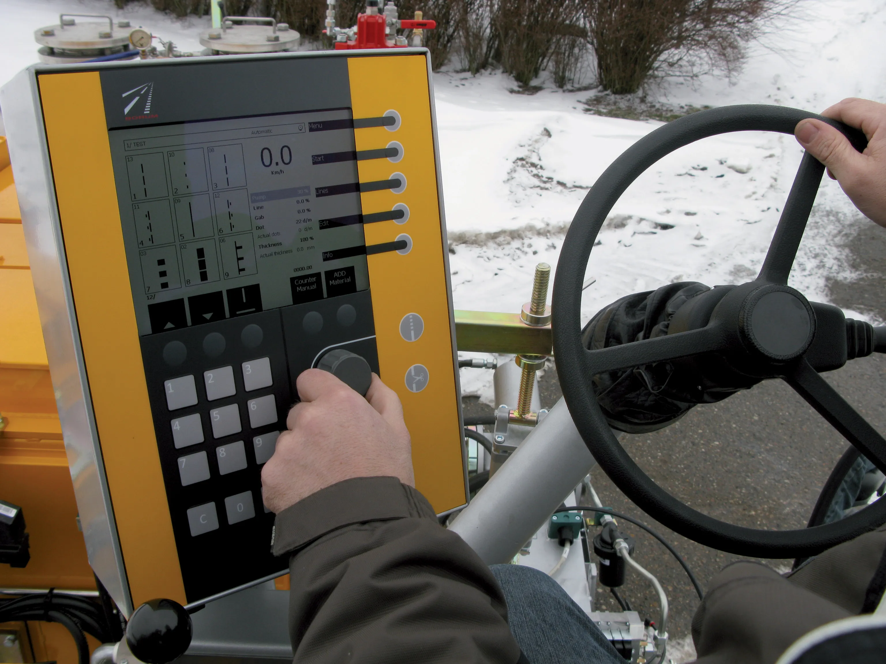
    Equipment, materials and testing combine to offer motorists better road markings as Patrick Smith reports Drivers realise that clear road markings, particularly in darkness and during the wet, are life-savers, offering guidance and direction. Manufacturers of marking materials, in-road studs, and testing and laying equipment have spent years perfecting solutions to make such markings easier to place; easier to see through the use of a variety of materials, and longer lasting. Sophisticated testing equip