Improved survey data handling

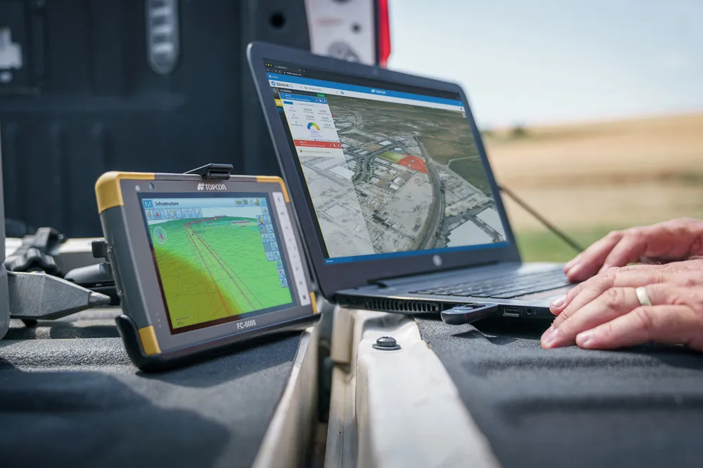
Leica Geosystems says that its Leica MobileMatriX v3.0 package can be used to synchronise survey data with an enterprise geodatabase, transfer digital images taken from a mobile phone via Bluetooth and link it with a feature, in addition to many other improvements. The firms says that its MobileMatriX v3.0 package offers a flexible and powerful mobile GIS application and can be used in both large projects and small projects involving only a few field crews. Survey data can be replicated within the editing p
August 2, 2012 Read time: 2 mins
265 Leica Geosystems says that its Leica MobileMatriX v3.0 package can be used to synchronise survey data with an enterprise geodatabase, transfer digital images taken from a mobile phone via Bluetooth and link it with a feature, in addition to many other improvements. The firms says that its MobileMatriX v3.0 package offers a flexible and powerful mobile GIS application and can be used in both large projects and small projects involving only a few field crews.

Survey data can be replicated within the editing process for customers using ArcGIS to manage spatial data. This allows users to extend their geospatial applications to their colleagues in the field, creating unprecedented data management capabilities. By implementing Leica MobileMatriX 3.0 survey data synchronization in the project workflow, a client can now connect to an enterprise database and modify or re-compute the survey measurements. This improves the workflow between field and office and can provide time and cost savings up to 50%. With Leica MobileMatriX 3.0, the subcontractor can provide a finished geodatabase to the client, without resorting to a conversion process and current analysis has shown a potential time/cost savings of up to and beyond 30-50%.

For more information on companies in this article

Related Content

  • Hamm | Self-monitoring in earthworks via Smart Doc
    April 1, 2021
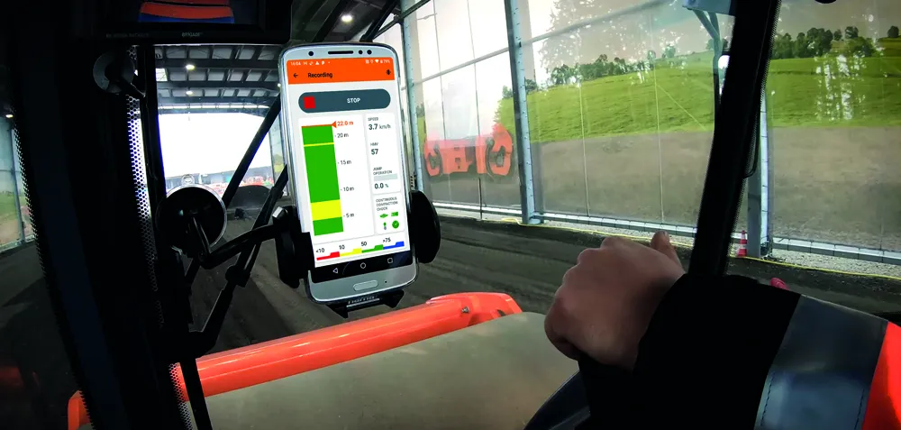
    With Smart Doc, Hamm presents an app with which compaction in earthworks can be transparently documented and the result shared with third parties. The lean app was developed in close coordination with building practitioners. The focus here was on the possibility of self-monitoring when it comes to compaction in earthworks. Smart Doc also fulfils the minimum requirements of continuous compaction control (CCC). With an intuitive user interface, the app also creates added value when training new roller operators, as all relevant compaction parameters are visualised in real time on the smartphone.
  • StreetMapper cuts cost of highway surveying projects
    April 20, 2012
    Dutch surveying company Geomaat is capturing millimetre accurate measurements in record times to support a range of highway design, construction and maintenance projects. Using the mobile laser mapping system StreetMapper, and specially developed point cloud software, the company can calculate very accurate cutting, milling and asphalt figures, create as built models and undertake change detection. “In the past, these types of measurement were undertaken using total stations which was time consuming, and
  • Infrastructure stays strong on the road to recovery
    July 1, 2021
    After more than a year of uncertainty, the road industry is coming back stronger than ever before thanks to new ways of working and increased investment – because building new infrastructure lays the foundation for a more resilient and economically robust world.
  • Improved construction software from Topcon
    June 22, 2021
    Topcon Positioning is introducing the latest version of its software package for construction and survey professionals: MAGNET 7.