Improved survey data handling

Leica Geosystems says that its Leica MobileMatriX v3.0 package can be used to synchronise survey data with an enterprise geodatabase, transfer digital images taken from a mobile phone via Bluetooth and link it with a feature, in addition to many other improvements. The firms says that its MobileMatriX v3.0 package offers a flexible and powerful mobile GIS application and can be used in both large projects and small projects involving only a few field crews. Survey data can be replicated within the editing p
August 2, 2012 Read time: 2 mins
265 Leica Geosystems says that its Leica MobileMatriX v3.0 package can be used to synchronise survey data with an enterprise geodatabase, transfer digital images taken from a mobile phone via Bluetooth and link it with a feature, in addition to many other improvements. The firms says that its MobileMatriX v3.0 package offers a flexible and powerful mobile GIS application and can be used in both large projects and small projects involving only a few field crews.

Survey data can be replicated within the editing process for customers using ArcGIS to manage spatial data. This allows users to extend their geospatial applications to their colleagues in the field, creating unprecedented data management capabilities. By implementing Leica MobileMatriX 3.0 survey data synchronization in the project workflow, a client can now connect to an enterprise database and modify or re-compute the survey measurements. This improves the workflow between field and office and can provide time and cost savings up to 50%. With Leica MobileMatriX 3.0, the subcontractor can provide a finished geodatabase to the client, without resorting to a conversion process and current analysis has shown a potential time/cost savings of up to and beyond 30-50%.

For more information on companies in this article

Related Content

  • Drones in construction, the future of surveying?
    August 21, 2015
    It may be early days for using drones – unmanned aerial systems (UAS) -- to map construction sites, but technology and legislation are moving in that direction. At the moment drones can fly within only a 500m radius of the ‘pilot’ standing on the ground, making the flight area a 1km diameter. This is the key limiting issue for any sector, especially road construction, says Jonathan Gill, a robotics engineer and a qualified drone pilot for the past seven years.
  • More efficient asphalt output from new plants
    November 20, 2015
    Advances in asphalt plant design offer major gains in product throughput and quality, while also allowing for warm asphalt and increased recycling The asphalt sector is constantly looking for ways to optimise production, lower costs and improve product quality and consistency. Competition is fierce in the asphalt plant market, with several of the key companies working hard to develop new and more efficient technologies, as well as equipment that is more versatile and more mobile. Advances have been made
  • Self-healing roads, slippery roads and slimmer roads
    November 24, 2017
    This month’s bitumen technology pages bring you self-healing roads, slippery roads and slimmer roads and explains why one UK contractor has started manufacturing its own polymer modified bitumen - Kristina Smith reports. Professor Erik Schlangen, who heads up experimental micromechanics at the Delft University of Technology is receiving calls from all round the world these days. And it is hardly surprising because he and his team have invented a great new technology: asphalt that heals itself.
  • Outset: always onboard for accuracy & safety
    July 4, 2023
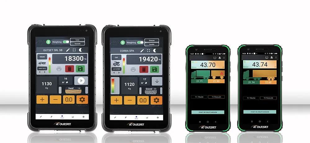
    Outset is a pioneer in onboard weighing and tyre-pressure monitoring systems (TPMS) for industrial and commercial vehicles, earthmoving machinery, logistics and the mining industry.