Improved survey data handling

Leica Geosystems says that its Leica MobileMatriX v3.0 package can be used to synchronise survey data with an enterprise geodatabase, transfer digital images taken from a mobile phone via Bluetooth and link it with a feature, in addition to many other improvements. The firms says that its MobileMatriX v3.0 package offers a flexible and powerful mobile GIS application and can be used in both large projects and small projects involving only a few field crews. Survey data can be replicated within the editing p
August 2, 2012 Read time: 2 mins
265 Leica Geosystems says that its Leica MobileMatriX v3.0 package can be used to synchronise survey data with an enterprise geodatabase, transfer digital images taken from a mobile phone via Bluetooth and link it with a feature, in addition to many other improvements. The firms says that its MobileMatriX v3.0 package offers a flexible and powerful mobile GIS application and can be used in both large projects and small projects involving only a few field crews.

Survey data can be replicated within the editing process for customers using ArcGIS to manage spatial data. This allows users to extend their geospatial applications to their colleagues in the field, creating unprecedented data management capabilities. By implementing Leica MobileMatriX 3.0 survey data synchronization in the project workflow, a client can now connect to an enterprise database and modify or re-compute the survey measurements. This improves the workflow between field and office and can provide time and cost savings up to 50%. With Leica MobileMatriX 3.0, the subcontractor can provide a finished geodatabase to the client, without resorting to a conversion process and current analysis has shown a potential time/cost savings of up to and beyond 30-50%.

For more information on companies in this article

Related Content

  • Delta’s new RetroSign GRX has pass-fail
    March 22, 2017
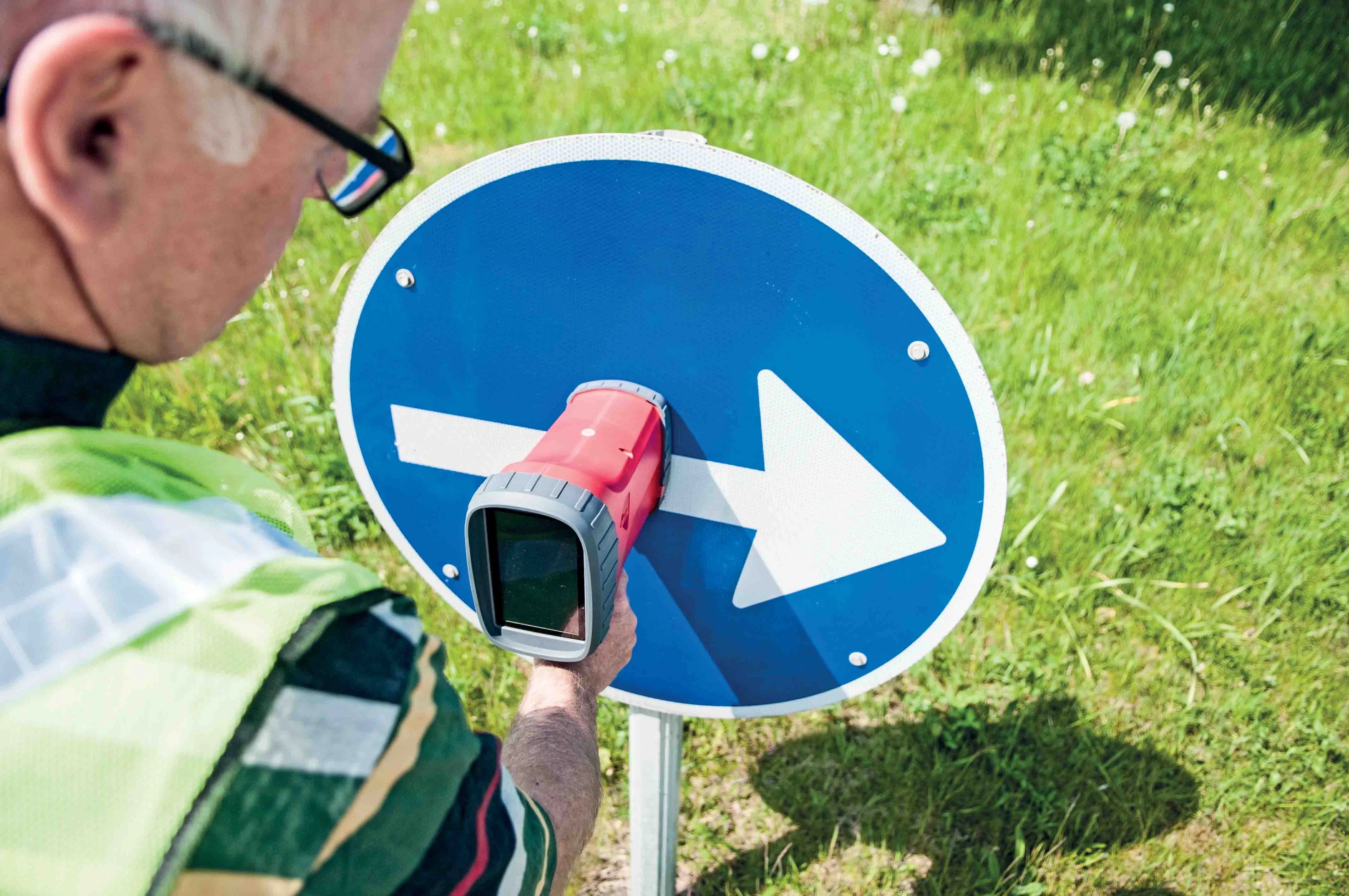
    Delta’s new RetroSign GRX retroreflectometer is a portable instrument for measuring retroreflection of road traffic signs as well as high-vis clothing and number plates. Delta says that its RetroSign GRX offers many features and supports a preset measurement programme, making it easy to measure and evaluate results on the spot. In addition, the RetroSign GRX software and App/tablet solution feature asset management capabilities for data processing and storage, including data search capability. The GRX ha
  • Tackling India’s road safety will reduce crash rate
    February 19, 2013
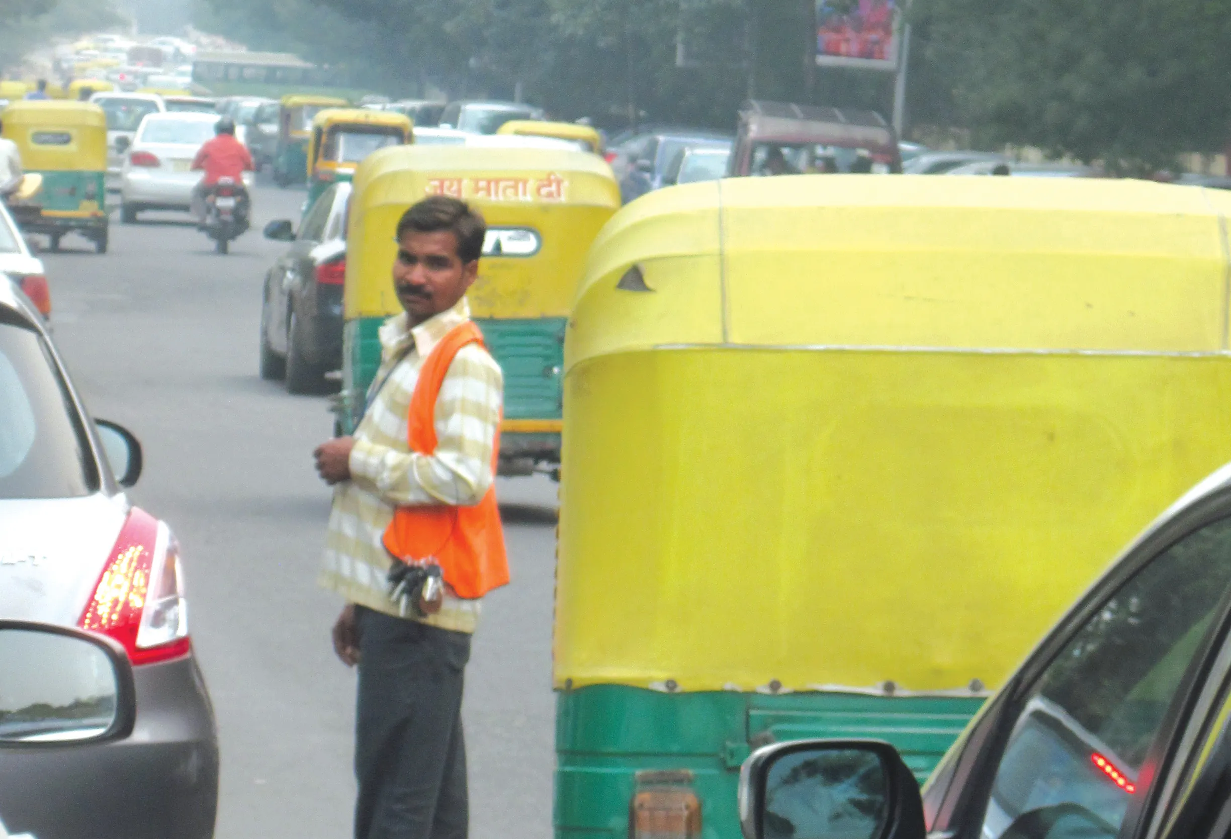
    India’s road safety record is the world’s worst but there are plans to tackle the problems. Patrick Smith reports from New Delhi. A speeded up video of a short section of road in the Indian capital Delhi was followed by a question. “How many infringements did you count in that 25-second clip on a typical day in Delhi,” asked Dr Rohit Baluja, a question that brought understandable silence. It equated to hundreds of millions of infringements each year, said Dr Baluja, president, Institute of Road Traffic Educ
  • Accurate concrete paving with Wirtgen
    January 7, 2024

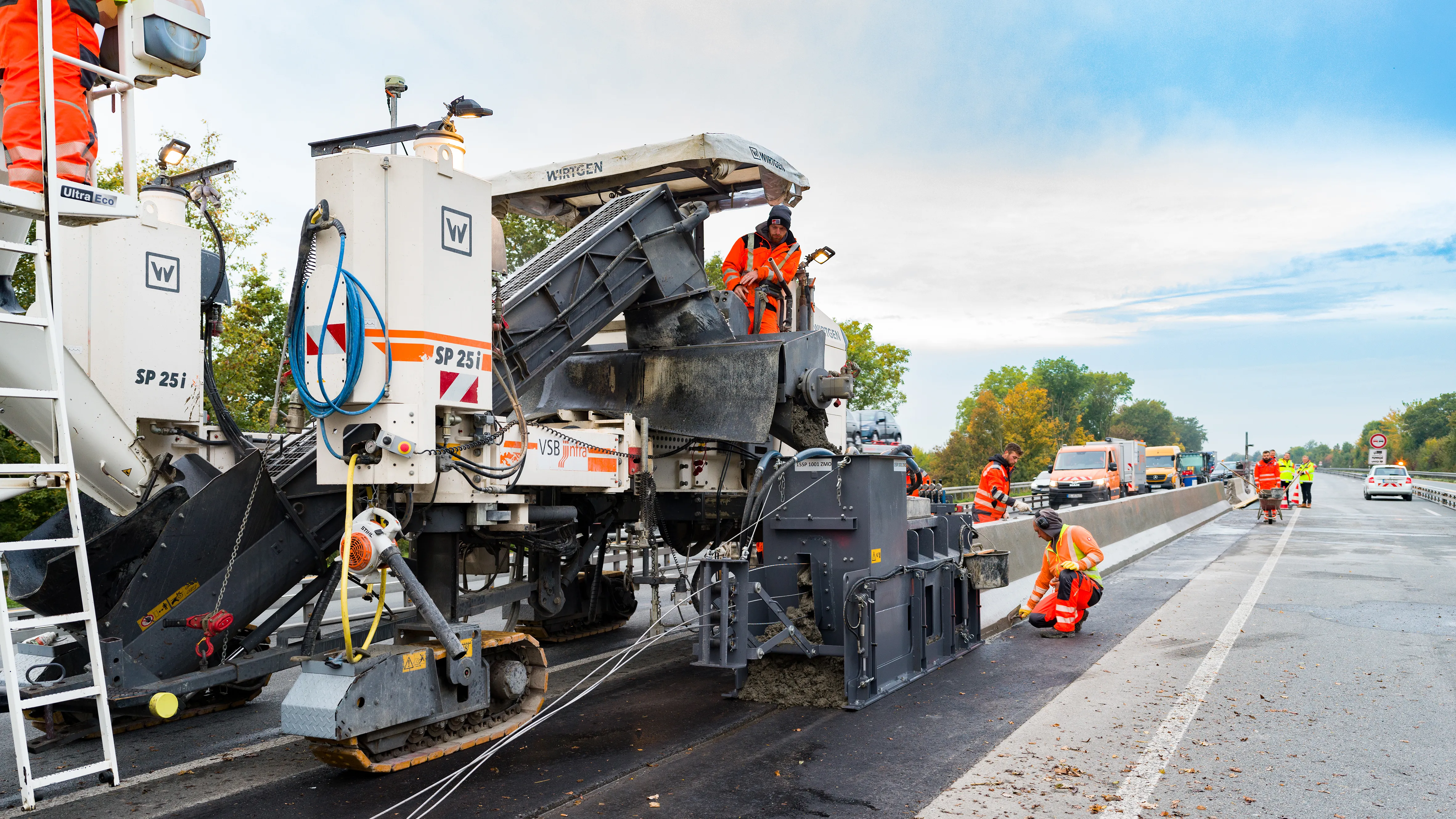
    Wirtgen’s improved stringless concrete paving system is being used on the A43 highway near Münster in Germany. 
    The AutoPilot 2.0 is a 3D control system that helps increase efficiency and safety. The system is being used to deliver a new poured in-place concrete safety barrier that will separate the eastbound and westbound lanes of the A 43 Autobahn.

  • Millimetre accuracy for concrete paving
    July 30, 2019
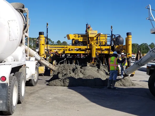
    Concrete paving is now benefiting from the use of sophisticated machine control tools to deliver accuracy and high-quality surfaces Heavy use of concrete roads and runways over time will reveal any flaws in workmanship, the invasion of water, or the wear from use. Discolouration, scaling, crazing, cracking, or curling will sometimes occur due to a poor ready-mix batch, inadequate curing procedure, subgrade settlement, or improper bonding of the finish layer. Concrete surfaces are generally very durab