Improved survey data handling

Leica Geosystems says that its Leica MobileMatriX v3.0 package can be used to synchronise survey data with an enterprise geodatabase, transfer digital images taken from a mobile phone via Bluetooth and link it with a feature, in addition to many other improvements. The firms says that its MobileMatriX v3.0 package offers a flexible and powerful mobile GIS application and can be used in both large projects and small projects involving only a few field crews. Survey data can be replicated within the editing p
August 2, 2012 Read time: 2 mins
265 Leica Geosystems says that its Leica MobileMatriX v3.0 package can be used to synchronise survey data with an enterprise geodatabase, transfer digital images taken from a mobile phone via Bluetooth and link it with a feature, in addition to many other improvements. The firms says that its MobileMatriX v3.0 package offers a flexible and powerful mobile GIS application and can be used in both large projects and small projects involving only a few field crews.

Survey data can be replicated within the editing process for customers using ArcGIS to manage spatial data. This allows users to extend their geospatial applications to their colleagues in the field, creating unprecedented data management capabilities. By implementing Leica MobileMatriX 3.0 survey data synchronization in the project workflow, a client can now connect to an enterprise database and modify or re-compute the survey measurements. This improves the workflow between field and office and can provide time and cost savings up to 50%. With Leica MobileMatriX 3.0, the subcontractor can provide a finished geodatabase to the client, without resorting to a conversion process and current analysis has shown a potential time/cost savings of up to and beyond 30-50%.

For more information on companies in this article

Related Content

  • Transtec launches Veta 6 software
    July 22, 2020
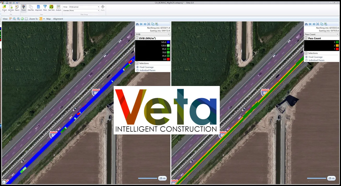
    Veta 6 enhances usability and expands features included with previous versions.
  • New telematics solution from Caterpillar and Trimble
    March 11, 2017
    Trimble and Caterpillar plan to deliver a connected on-highway telematics solutions to construction operations. This will form part of the CAT Connect offering for customers, extending the solutions to include Trimble's real-time, truck fleet visibility and monitoring capabilities. This will enable both on-highway and off-highway fleet management solutions for customers.
  • Estonia surveys major roads with a RetroTek-M retroreflectometer
    May 22, 2019
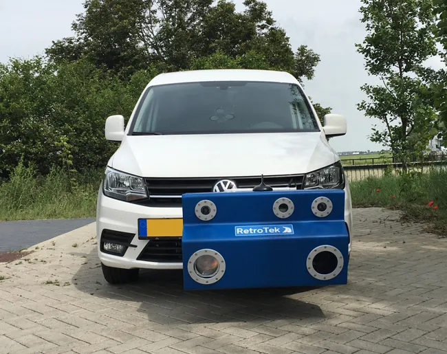
    During the past two years, Estonia’s Road Administration has clocked up 4,021km during a retroreflectivity project on all main state roads and on basic roads. Estonia’s Road Traffic Development Department of the Estonian Road Administration has been working with ERC Consulting to gather retroreflectivity data on road markings on all main state roads and basic roads. The work has shown that out of 1,609km of main state roads, 20% had problems. The reflective effect is created by glass beads on the surf
  • Airport repaving project using machine control
    April 24, 2023
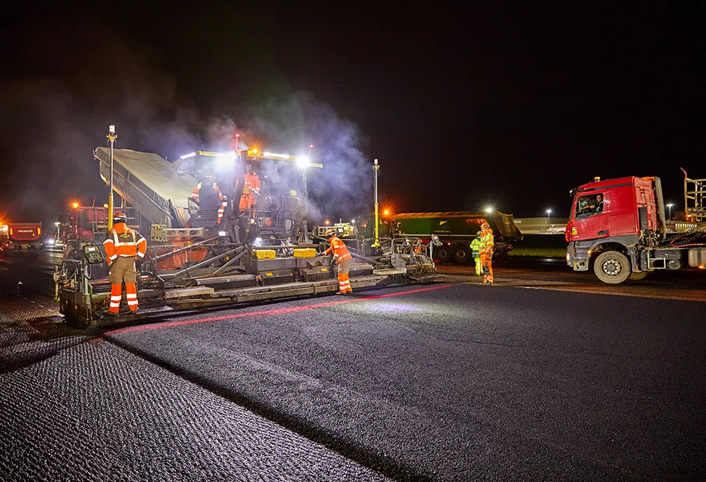
    Luxembourg Airport, located in Findel, is handling a growing number of passenger as well as cargo flights. However, to meet international standards the airport’s runway, measuring 4,000m long x 60m wide, was in need of complete renovation and repair