Improved survey data handling

Leica Geosystems says that its Leica MobileMatriX v3.0 package can be used to synchronise survey data with an enterprise geodatabase, transfer digital images taken from a mobile phone via Bluetooth and link it with a feature, in addition to many other improvements. The firms says that its MobileMatriX v3.0 package offers a flexible and powerful mobile GIS application and can be used in both large projects and small projects involving only a few field crews. Survey data can be replicated within the editing p
August 2, 2012 Read time: 2 mins
265 Leica Geosystems says that its Leica MobileMatriX v3.0 package can be used to synchronise survey data with an enterprise geodatabase, transfer digital images taken from a mobile phone via Bluetooth and link it with a feature, in addition to many other improvements. The firms says that its MobileMatriX v3.0 package offers a flexible and powerful mobile GIS application and can be used in both large projects and small projects involving only a few field crews.

Survey data can be replicated within the editing process for customers using ArcGIS to manage spatial data. This allows users to extend their geospatial applications to their colleagues in the field, creating unprecedented data management capabilities. By implementing Leica MobileMatriX 3.0 survey data synchronization in the project workflow, a client can now connect to an enterprise database and modify or re-compute the survey measurements. This improves the workflow between field and office and can provide time and cost savings up to 50%. With Leica MobileMatriX 3.0, the subcontractor can provide a finished geodatabase to the client, without resorting to a conversion process and current analysis has shown a potential time/cost savings of up to and beyond 30-50%.

For more information on companies in this article

Related Content

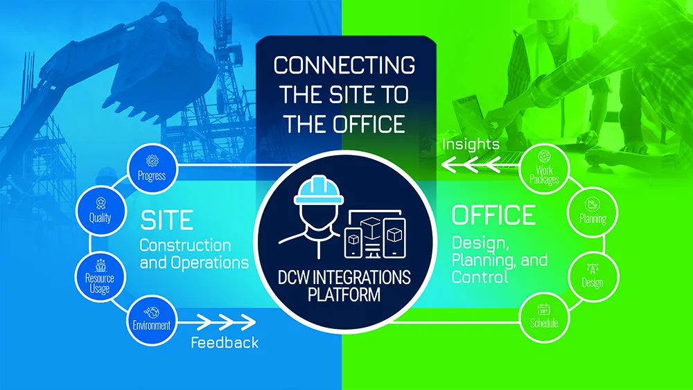
  • Digital Construction Works develops new fully-integrated highway design and construction workflow tool
    September 7, 2022
    DCW’s latest software allows highway professionals to get new “insights” and “save valuable time” by analysing and visualising project data in a far more intelligent way
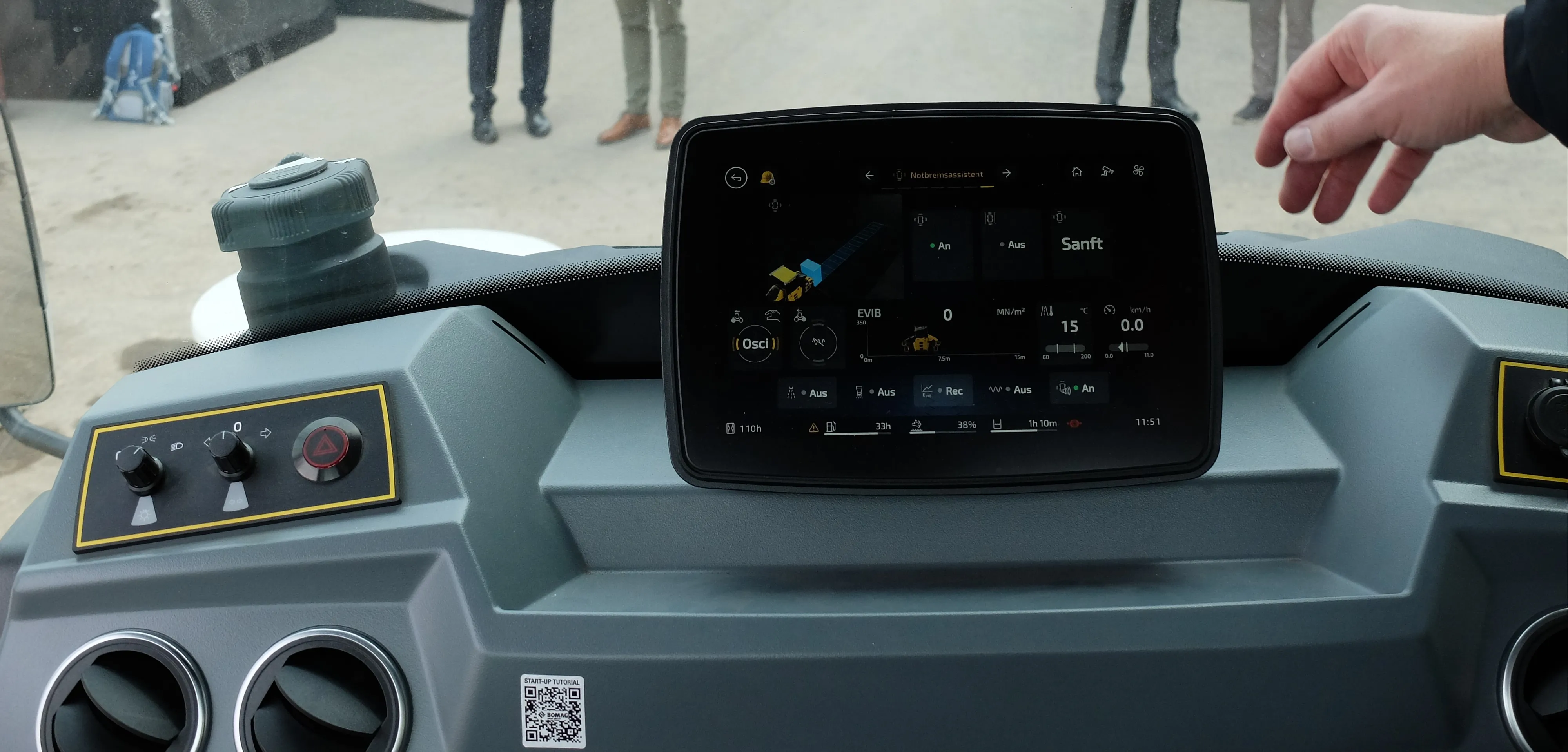
  • Intelligent paving and compaction holds the key
    October 16, 2024
    Intelligent paving and compaction holds the key to more efficient road construction according to BOMAG – Mike Woof writes
  • Innovative solutions to earthmoving needs
    January 3, 2013
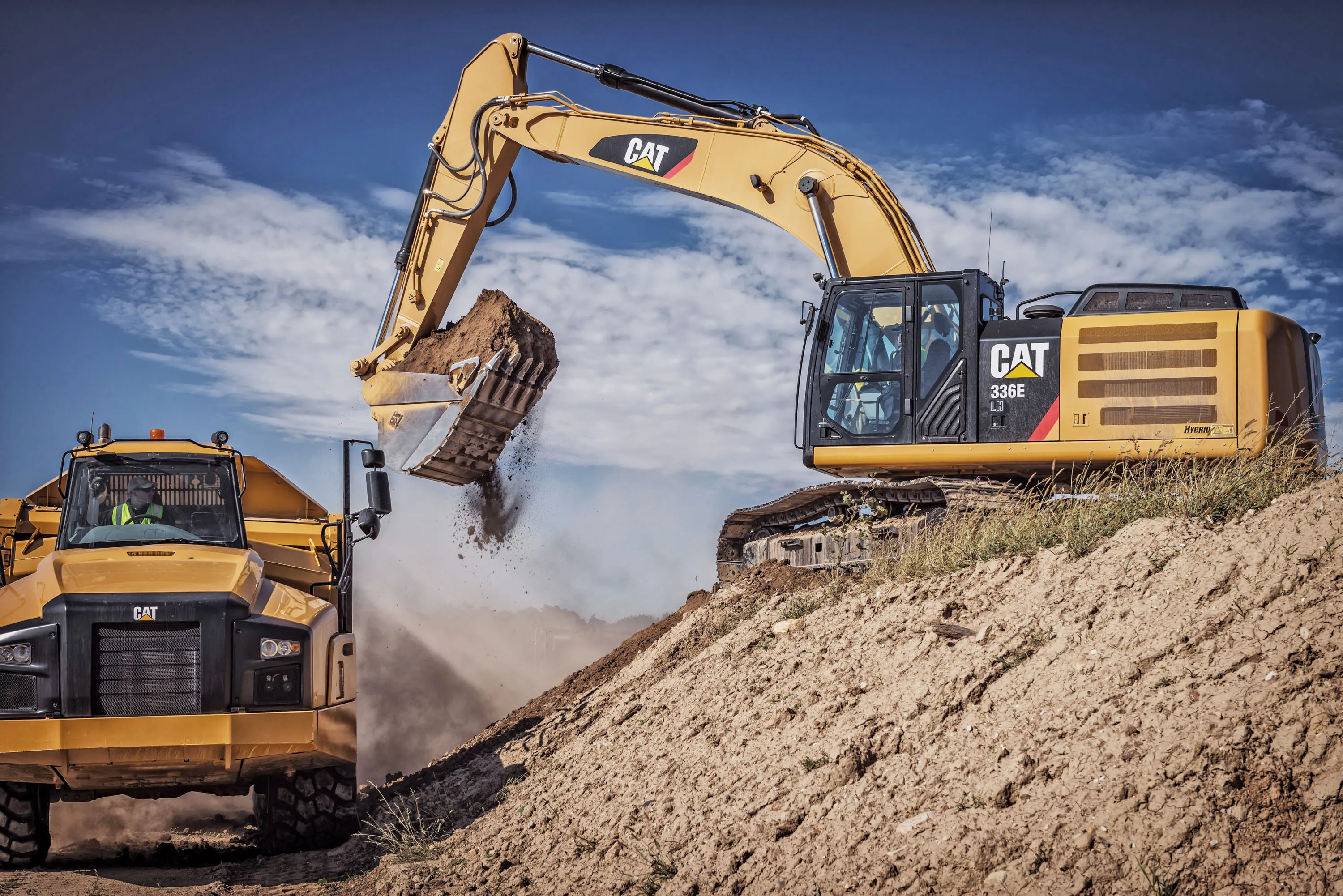
    Several manufacturers are offering improved earthmoving machines, with more to come - Mike Woof reports. One of the most notable developments comes from Caterpillar, with the unveiling of a hybrid excavator in the shape of its 336E H model. The machine is having its public launch at the bauma exhibition in Spring 2013 and will start rolling out of the factory in March 2013, while customers will be able to place orders from February 2013. Unlike other hybrid excavators on the market at present, the Cat 336E
  • Leica believes that digitisation is the key to improving efficiency and lowering costs
    April 20, 2016
    The digitisation of the construction process will give greater transparency on costs at the site and ultimately lead to improved productivity and efficiency in the industry, said Johan Arnberg, president of Leica Geosystems Machine Control Division, speaking at a Leica roundtable on digitisation of the construction industry held at bauma. The data gathered by the new generation of digitised construction machines and tools will enable contractors and owners for the first time to put key performance indicator