Improved survey data handling

Leica Geosystems says that its Leica MobileMatriX v3.0 package can be used to synchronise survey data with an enterprise geodatabase, transfer digital images taken from a mobile phone via Bluetooth and link it with a feature, in addition to many other improvements. The firms says that its MobileMatriX v3.0 package offers a flexible and powerful mobile GIS application and can be used in both large projects and small projects involving only a few field crews. Survey data can be replicated within the editing p
August 2, 2012 Read time: 2 mins
265 Leica Geosystems says that its Leica MobileMatriX v3.0 package can be used to synchronise survey data with an enterprise geodatabase, transfer digital images taken from a mobile phone via Bluetooth and link it with a feature, in addition to many other improvements. The firms says that its MobileMatriX v3.0 package offers a flexible and powerful mobile GIS application and can be used in both large projects and small projects involving only a few field crews.

Survey data can be replicated within the editing process for customers using ArcGIS to manage spatial data. This allows users to extend their geospatial applications to their colleagues in the field, creating unprecedented data management capabilities. By implementing Leica MobileMatriX 3.0 survey data synchronization in the project workflow, a client can now connect to an enterprise database and modify or re-compute the survey measurements. This improves the workflow between field and office and can provide time and cost savings up to 50%. With Leica MobileMatriX 3.0, the subcontractor can provide a finished geodatabase to the client, without resorting to a conversion process and current analysis has shown a potential time/cost savings of up to and beyond 30-50%.

For more information on companies in this article

Related Content

  • GPS machine control systems reduce survey time
    February 14, 2012
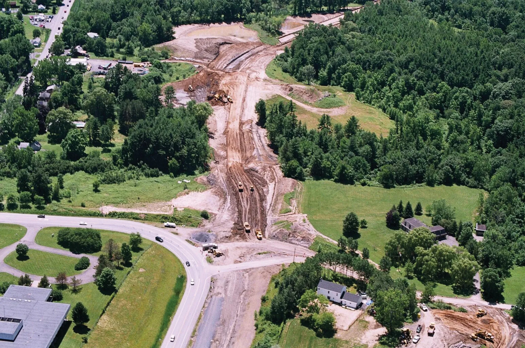
    Innovative uses are being made of GPS technology, Mike Woof reports. US firms Creighton Manning Engineering and Delaney Construction have made a novel use of GPS technology in a project for the Route 85 Slingerlands bypass extension in the US.
  • Nira and Univrses in Swedish road data project
    April 6, 2023
    NIRA Dynamics and Univrses are working on road surface conditions analysis using data from connected vehicles, RWIS, radar/satellite images and weather prognoses to provide a real-time picture of the road status.
  • Intelligent bulldozers provide productivity boost
    September 27, 2013
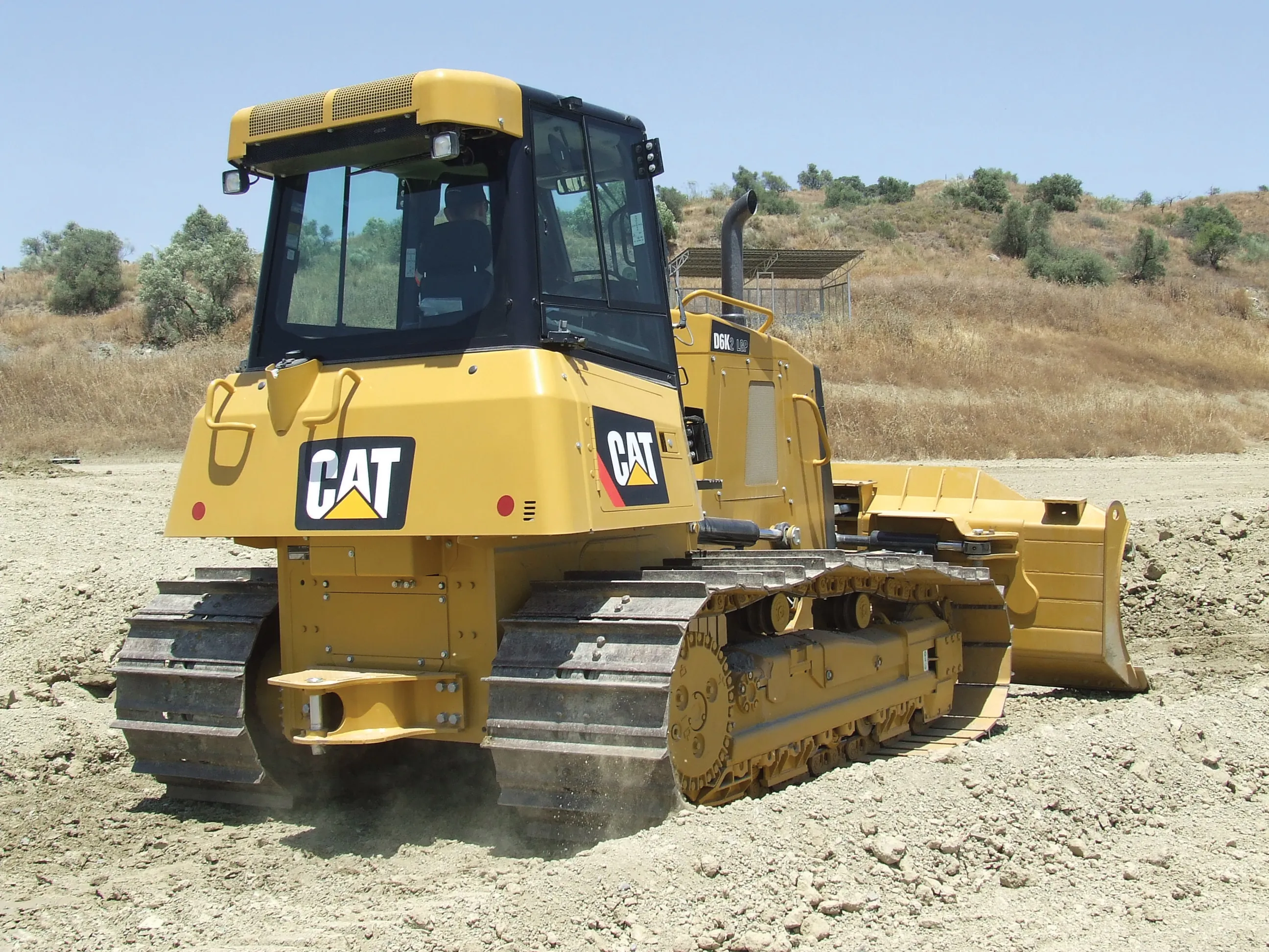
    New smart dozers provide faster working and greater efficiency - Mike Woof reports Both Caterpillar and Komatsu are making key moves in offering intelligent bulldozing capabilities on their latest machines. In the medium-sized bulldozer market, both companies have sophisticated new models that will increase both productivity and finish quality, while lowering running costs for the user.
  • Latest VMS keeps world’s motorists moving safely
    April 10, 2013
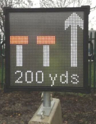
    VMS for what is thought to be the longest road tunnel in the Middle East, and the installation of the latest VMS technology in Canada’s oldest national park to help motorists travelling through it are among the projects discussed by Guy Woodford. A large volume of VMS from Italian firm Solari has been installed in the new 4.2km-long Zayed Street Tunnel in Abu Dhabi – thought to be the longest in the Middle East. The Solari VMS supply consisted of 204 lane control signs, with Red, Yellow and Green LED pre-de