Improved survey data handling

Leica Geosystems says that its Leica MobileMatriX v3.0 package can be used to synchronise survey data with an enterprise geodatabase, transfer digital images taken from a mobile phone via Bluetooth and link it with a feature, in addition to many other improvements. The firms says that its MobileMatriX v3.0 package offers a flexible and powerful mobile GIS application and can be used in both large projects and small projects involving only a few field crews. Survey data can be replicated within the editing p
August 2, 2012 Read time: 2 mins
265 Leica Geosystems says that its Leica MobileMatriX v3.0 package can be used to synchronise survey data with an enterprise geodatabase, transfer digital images taken from a mobile phone via Bluetooth and link it with a feature, in addition to many other improvements. The firms says that its MobileMatriX v3.0 package offers a flexible and powerful mobile GIS application and can be used in both large projects and small projects involving only a few field crews.

Survey data can be replicated within the editing process for customers using ArcGIS to manage spatial data. This allows users to extend their geospatial applications to their colleagues in the field, creating unprecedented data management capabilities. By implementing Leica MobileMatriX 3.0 survey data synchronization in the project workflow, a client can now connect to an enterprise database and modify or re-compute the survey measurements. This improves the workflow between field and office and can provide time and cost savings up to 50%. With Leica MobileMatriX 3.0, the subcontractor can provide a finished geodatabase to the client, without resorting to a conversion process and current analysis has shown a potential time/cost savings of up to and beyond 30-50%.

For more information on companies in this article

Related Content

  • UK trialling hazard warning technology
    November 26, 2024
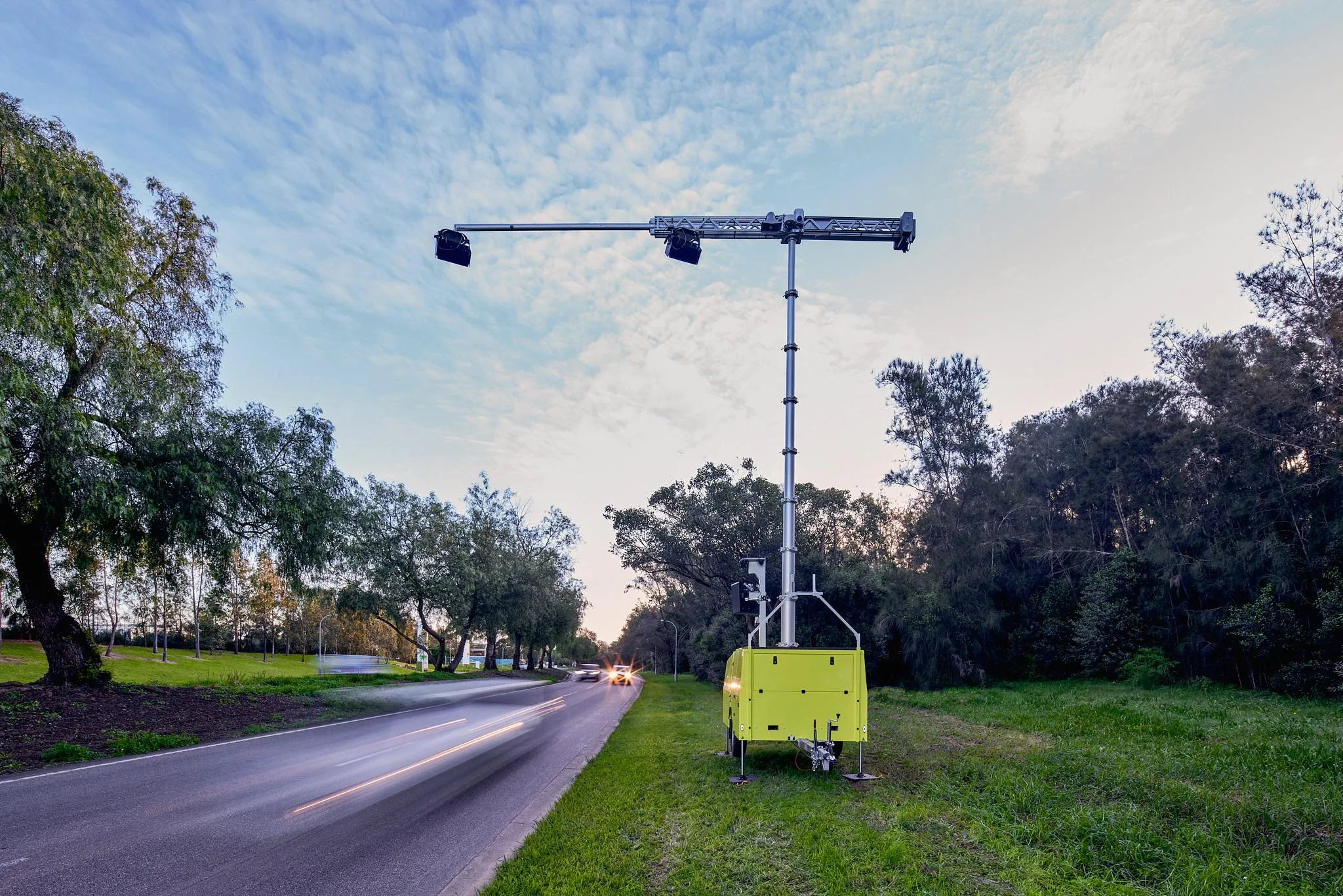
    Results from a project by the UK’s department of transport and AECOM – using Heads-Up technology from Acusensus, has underlined scale of distracted driving and lack of seatbelt use.
  • Concrete production innovation – mobility the key
    July 5, 2016
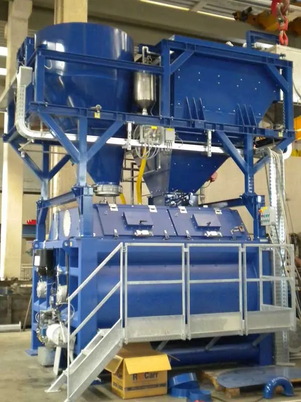
    Versatility and productivity are key drivers for the concrete plant sector - Mike Woof writes. The days of most construction machines being expressly designed and built for a single specific purpose have gone. These days construction equipment is largely intended to be versatile and adaptable, allowing it to be operated in a wide array of applications and duties. New concrete plants are designed too for mobility as this allows users to set up highly productive equipment quickly on basic sites, with little p
  • Cummins Guidanz app provides real-time support
    March 7, 2017
    As part of its connectivity focus, Cummins revealed a user-friendly, engine data analytic app at CONEXPO-CON/AGG for its off-highway customers. It becomes commercially available next month. Called Cummins Guidanz, the app enables remote monitoring of any Cummins engine that meets Tier 3 or later emissions standards, to provide instant recognition and reading of fault codes.
  • New positioning tools streamline survey operations
    March 14, 2012
    Trimble has launched a range of new tools which it says will deliver faster and more accurate data to surveyors. The Trimble S6 Robotic Total Station with Trimble Vision Technology enables surveyors to remotely see and measure through a live video feed from the instrument on their data controller.