Improved survey data handling

Leica Geosystems says that its Leica MobileMatriX v3.0 package can be used to synchronise survey data with an enterprise geodatabase, transfer digital images taken from a mobile phone via Bluetooth and link it with a feature, in addition to many other improvements. The firms says that its MobileMatriX v3.0 package offers a flexible and powerful mobile GIS application and can be used in both large projects and small projects involving only a few field crews. Survey data can be replicated within the editing p
August 2, 2012 Read time: 2 mins
265 Leica Geosystems says that its Leica MobileMatriX v3.0 package can be used to synchronise survey data with an enterprise geodatabase, transfer digital images taken from a mobile phone via Bluetooth and link it with a feature, in addition to many other improvements. The firms says that its MobileMatriX v3.0 package offers a flexible and powerful mobile GIS application and can be used in both large projects and small projects involving only a few field crews.

Survey data can be replicated within the editing process for customers using ArcGIS to manage spatial data. This allows users to extend their geospatial applications to their colleagues in the field, creating unprecedented data management capabilities. By implementing Leica MobileMatriX 3.0 survey data synchronization in the project workflow, a client can now connect to an enterprise database and modify or re-compute the survey measurements. This improves the workflow between field and office and can provide time and cost savings up to 50%. With Leica MobileMatriX 3.0, the subcontractor can provide a finished geodatabase to the client, without resorting to a conversion process and current analysis has shown a potential time/cost savings of up to and beyond 30-50%.

For more information on companies in this article

Related Content

  • Earthmoving market introductions
    February 11, 2020
    Earthmoving innovations are coming to market in the shape of new excavators and wheeled loaders
  • US asphalt and quarry show highlights new technology
    May 8, 2015
    New technology was one key focus area for the World of Asphalt/AGG1 event run recently in the US city of Baltimore - Mike Woof writes Technology has been a major focus for the combined World of Asphalt and AGG1 2015 exhibition and conference held in Baltimore. The exhibition area attracted 450 exhibitors and covered a larger area than for previous events, while over 10,000 education season tickets were bought by those wanting to attend the presentation sessions. The event was held from March 17th- March
  • Leica Geosystems launches iCON for wheeled loaders
    January 6, 2017
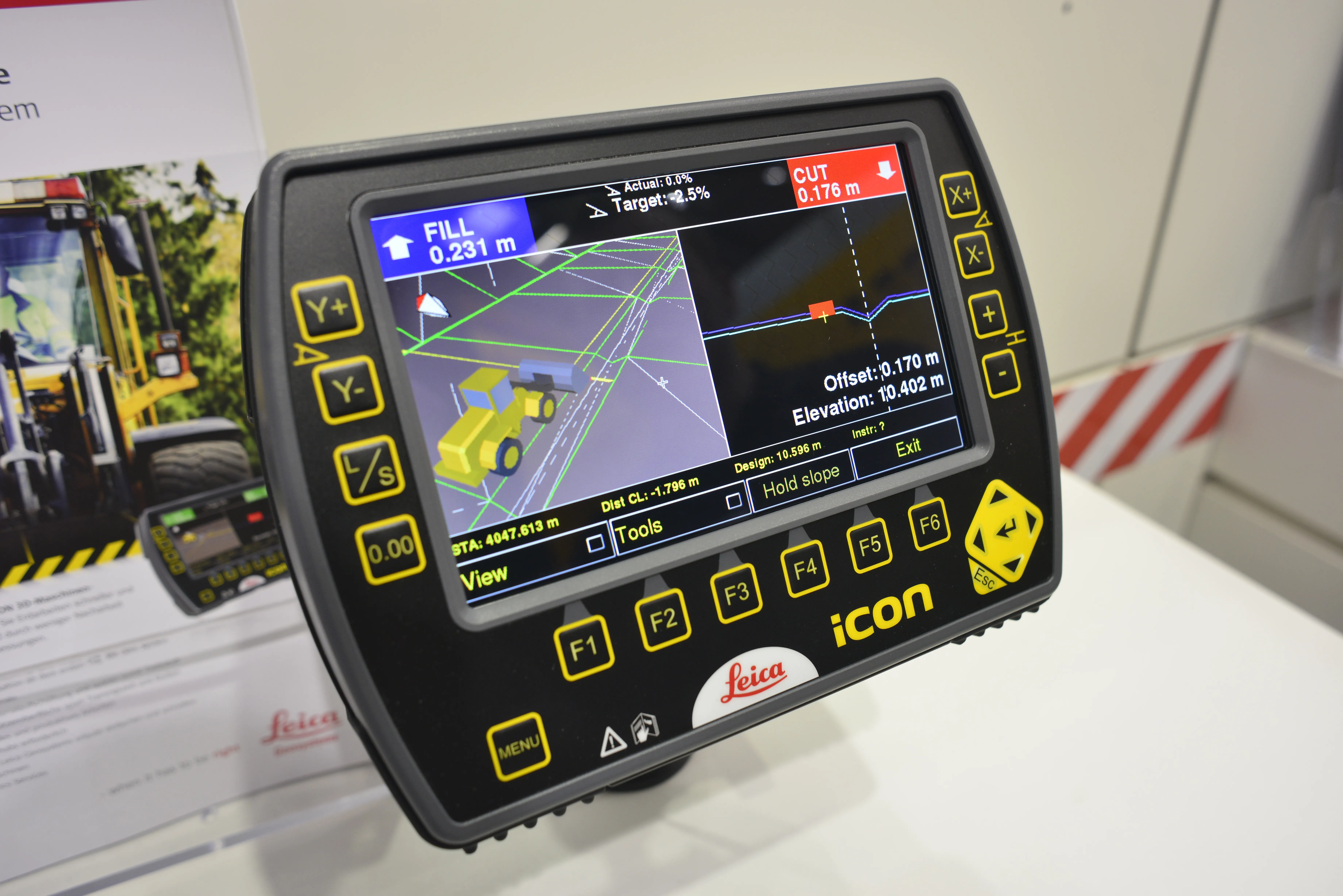
    Leica Geosystems has unveiled its new powerful Leica iCON 3D machine control system for wheeled loaders. The Swiss firm says the system allows users to complete their earthworks jobs faster and correctly the first time. It is also said to precisely control material cut and fill, saving a lot of time and money by reducing rework and over-excavation, while also making grading operations with wheeled loaders more efficient. Grade checking, says Leica, can be eliminated, further enhancing productivity, efficien
  • Leica Geosystems launches iCON for wheeled loaders
    April 19, 2013
    Leica Geosystems has unveiled its new powerful Leica iCON 3D machine control system for wheeled loaders. The Swiss firm says the system allows users to complete their earthworks jobs faster and correctly the first time. It is also said to precisely control material cut and fill, saving a lot of time and money by reducing rework and over-excavation, while also making grading operations with wheeled loaders more efficient. Grade checking, says Leica, can be eliminated, further enhancing productivity, efficien