Improved construction software from Topcon

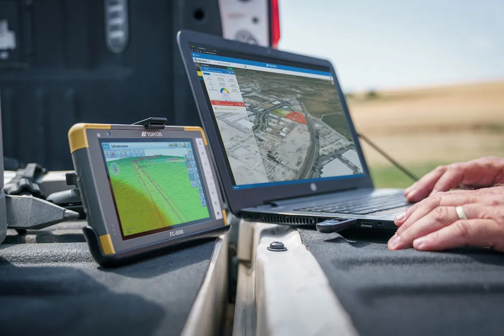
Topcon Positioning is introducing the latest version of its software package for construction and survey professionals: MAGNET 7.
June 22, 2021 Read time: 2 mins
Topcon is now offering its latest MAGNET 7 software package

The firm says that this package benefits from cloud-based connectivity for streamlining workflows through GNSS receivers, total stations, and other positioning tools and instruments. The company says that the new version of the software addresses needs to increase productivity, efficiency, and profitability levels across the jobsite spectrum. The software also improves accuracy while managing data and collaboration with the project team in real time.

Topcon says that the package comprises field software, cloud services, integrated office software and third-party integrations. Upgrades in the field version of the software improve 3D model support, reporting, and interactivity in working directly on a visual map. Additionally, there are improvements in data handling for large and complex 3D projects.

Productivity-driven features within the upgraded office solution include an ability to connect to the newest version of the Sitelink3D jobsite monitoring and management system. This enables office personnel to send machine models to machines onsite via the web portal. The new connection also allows access to the Haul Truck app, which improves efficiency in the mass haul environment by sending real-time data directly to the master schedule.

Additional benefits in the office include a new capability for calculating International Roughness Index (IRI) for resurfacing projects. For added efficiency, IRI data exports directly to ProVAL formats, commonly used in the paving industry, to report and validate road surface smoothness against guidelines set by government transportation departments. The package has improved terrain modeling capabilities for surveyors and an increase in file-type capabilities.

For more information on companies in this article

Related Content

  • Straight to the point for measurement
    February 6, 2018
    Leica Geosystems says it is introducing a major advance in site surveying. This offers a novel tilt compensation system, so that users are no longer required to hold the pole vertical. The new Leica GS18 T is claimed to be the world’s fastest GNSS RTK rover, while the firm is also offering the latest versions of Leica Captivate field software and Leica Infinity office software. With the addition of calibration-free GNSS and various upgrades to the Captivate field software and Infinity office software, use
  • Advances in asphalt paving equipment coming to market
    June 27, 2018
    Some of the key manufacturers are improving asphalt paving technology with key developments to machines as well as the electronics and telematics systems fitted – Mike Woof writes. Several of the major asphalt paver manufacturers have unveiled new machines and systems that can optimise operations. Improved operating features for the BOMAG BF 800 C-2 paver are said to help increase its output and efficiency when working on-site. An important development is the new traffic light system, which helps improve co
  • Frost Control gets the picture
    November 20, 2020
    Cameras have been added to the Mini RWIS from Frost Control Systems.
  • Autodesk introduces new software tools
    April 25, 2013
    As World Highways was going to press Autodesk was due to announce the 2014 versions of its entire range of programs including AutoCAD, Civil 3D, NavisWorks and Revit Structural and others programs used by the road industry. As previously, they are packaged in suites; Standard, Premium and Ultimate. Key aspects focus around the inclusion of a completely new and fast point-cloud “engine” developed from the Alice Labs company acquisition made last year. Part of a new Autodesk Recap, standing for reality captur