Improved construction software from Topcon

Topcon Positioning is introducing the latest version of its software package for construction and survey professionals: MAGNET 7.
June 22, 2021 Read time: 2 mins
Topcon is now offering its latest MAGNET 7 software package

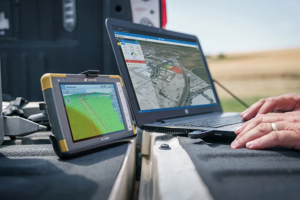
The firm says that this package benefits from cloud-based connectivity for streamlining workflows through GNSS receivers, total stations, and other positioning tools and instruments. The company says that the new version of the software addresses needs to increase productivity, efficiency, and profitability levels across the jobsite spectrum. The software also improves accuracy while managing data and collaboration with the project team in real time.

Topcon says that the package comprises field software, cloud services, integrated office software and third-party integrations. Upgrades in the field version of the software improve 3D model support, reporting, and interactivity in working directly on a visual map. Additionally, there are improvements in data handling for large and complex 3D projects.

Productivity-driven features within the upgraded office solution include an ability to connect to the newest version of the Sitelink3D jobsite monitoring and management system. This enables office personnel to send machine models to machines onsite via the web portal. The new connection also allows access to the Haul Truck app, which improves efficiency in the mass haul environment by sending real-time data directly to the master schedule.

Additional benefits in the office include a new capability for calculating International Roughness Index (IRI) for resurfacing projects. For added efficiency, IRI data exports directly to ProVAL formats, commonly used in the paving industry, to report and validate road surface smoothness against guidelines set by government transportation departments. The package has improved terrain modeling capabilities for surveyors and an increase in file-type capabilities.

For more information on companies in this article

Related Content

  • 3D PAVING comes to India and is boosting slipforming efficiency
    December 19, 2016
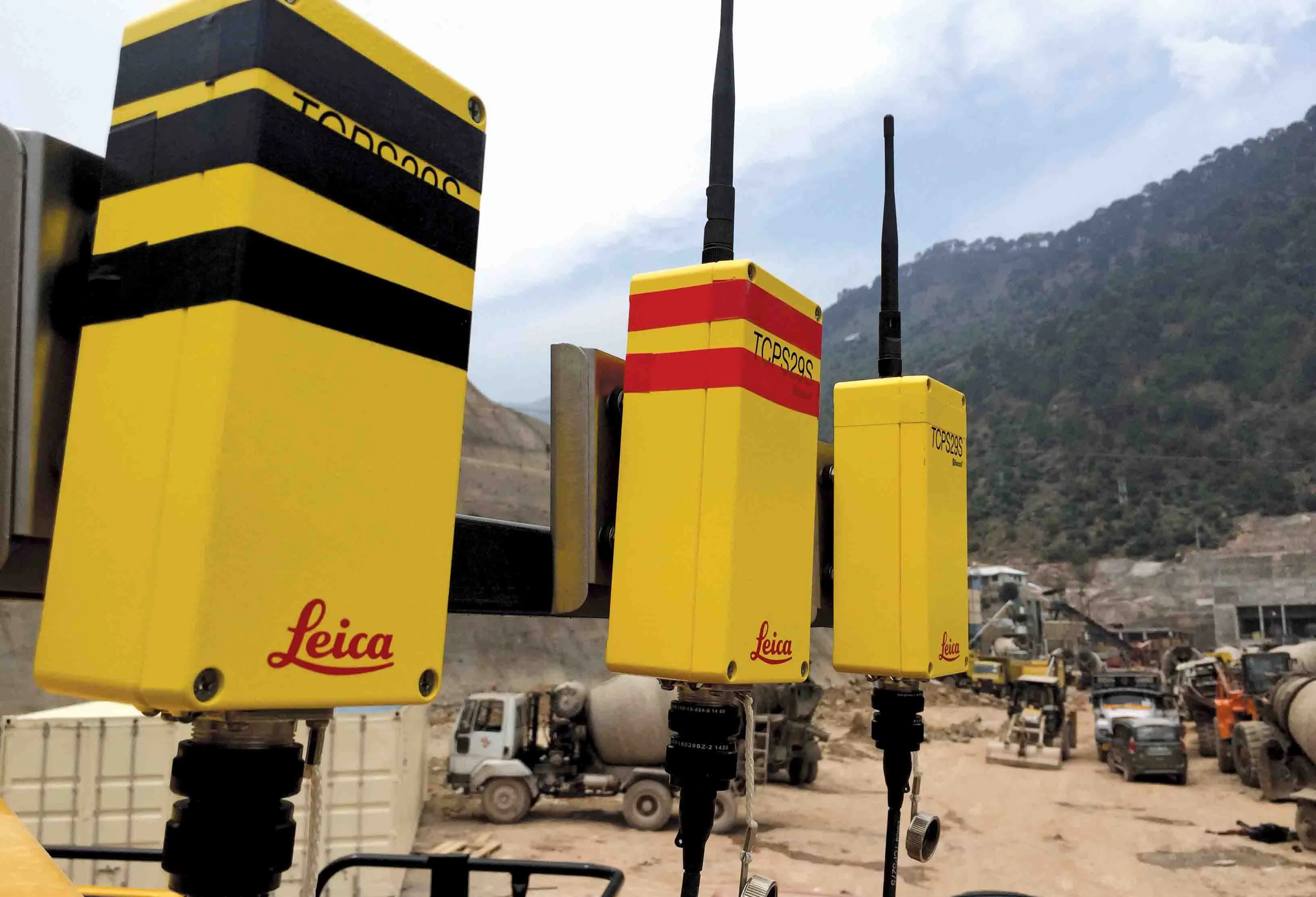
    Situated on India’s northern frontier, the state of Jammu and Kashmir is world-renowned for its aesthetic vistas and captivating landscapes. The arterial roads connecting the city of Jammu to that of Srinagar is a challenge to maintain, being constantly exposed to harsh weather and overburdened with vehicular movement. Leica Geosystems has been involved in the Chenani-Nashri tunnel project, India’s longest road tunnel and which will be part of an alternate route in the region
  • Technology from Topcon plays key role in resurfacing race track
    May 13, 2021
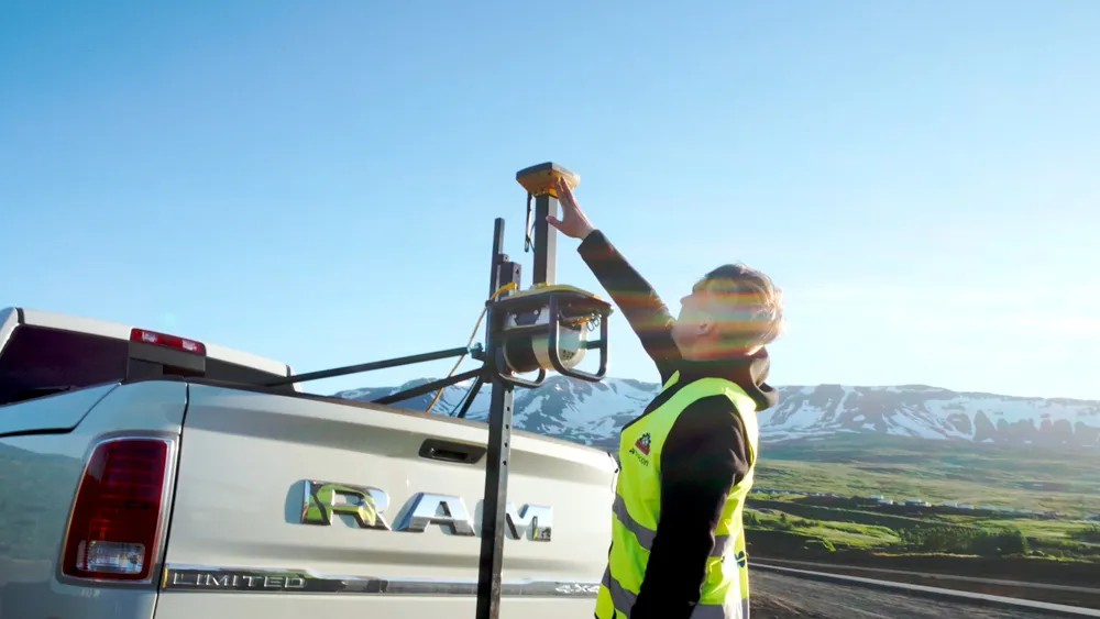
    Located in northern Iceland, Akureyri is the fourth largest town in the country, with a modest population of 19,000. The town is home to one of Iceland’s oldest car racing clubs, the Akureyri Car Club, which runs regular drag racing events. However, its popularity resulted in heavy wear and tear, which meant the quarter-of-a-mile drag race strip was in urgent need of an upgrade.
  • Topcon partnership for photogrammetry
    December 7, 2015
    Topcon Positioning is establishing a new partnership for photogrammetry technology. The deal has been struck with digital photogrammetric solution provider Agisoft. This move will further expand the Topcon portfolio of solutions for mass data collection (MDC). Agisoft is a leader in the processing of digital imagery for generating high-accuracy 3D spatial data using photogrammetric and computer vision techniques. Topcon will provide the Agisoft Photogrammetric Kit for Topcon – Professional Edition software
  • Efficient asset management delivers
    April 25, 2013
    Maximising the economic benefit of infrastructure assets can be achieved through delivering better quality maintenance. Increasing utilisation of infrastructure follows on from those assets being in better condition. Clearly by tracking infrastructure condition closely, huge gains can be made in addressing technical issues before they become more serious and more costly, as well as minimising disruption. In UK city Birmingham, high resolution aerial photography from Bluesky is helping the city council under