Improved construction software from Topcon

Topcon Positioning is introducing the latest version of its software package for construction and survey professionals: MAGNET 7.
June 22, 2021 Read time: 2 mins
Topcon is now offering its latest MAGNET 7 software package

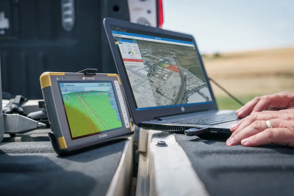
The firm says that this package benefits from cloud-based connectivity for streamlining workflows through GNSS receivers, total stations, and other positioning tools and instruments. The company says that the new version of the software addresses needs to increase productivity, efficiency, and profitability levels across the jobsite spectrum. The software also improves accuracy while managing data and collaboration with the project team in real time.

Topcon says that the package comprises field software, cloud services, integrated office software and third-party integrations. Upgrades in the field version of the software improve 3D model support, reporting, and interactivity in working directly on a visual map. Additionally, there are improvements in data handling for large and complex 3D projects.

Productivity-driven features within the upgraded office solution include an ability to connect to the newest version of the Sitelink3D jobsite monitoring and management system. This enables office personnel to send machine models to machines onsite via the web portal. The new connection also allows access to the Haul Truck app, which improves efficiency in the mass haul environment by sending real-time data directly to the master schedule.

Additional benefits in the office include a new capability for calculating International Roughness Index (IRI) for resurfacing projects. For added efficiency, IRI data exports directly to ProVAL formats, commonly used in the paving industry, to report and validate road surface smoothness against guidelines set by government transportation departments. The package has improved terrain modeling capabilities for surveyors and an increase in file-type capabilities.

For more information on companies in this article

Related Content

  • A new construction ICON
    January 3, 2013
    More efficient construction operations should be the benefit of the new technology from Leica Geosystems. The firm is introducing its latest Leica iCON telematics package, which is said to offer increased efficiency for machine control operations on site and remote machinery fleet management. The Leica iCON telematics package is a web-based suite of tools that allows contractors to increase the efficiency of machine control operations on site and manage machinery fleets. This is a key component in iCONnect,
  • Precision narrows the gap between design software and GIS
    March 20, 2012
    Greater precision is helping blur the boundaries between GIS technology and design software While GIS map based technology has extended its range across an ever more universal spectrum of uses in the highways sector, it is increasingly showing weaknesses for engineering purposes. It is very often not accurate enough. This has not mattered previously because the GIS tool has been seen essentially as an automated version of paper based systems from the design department's point of view. Where engineers
  • Topcon’s action station
    October 31, 2012
    Topcon Europe Positioning (TEP) has launched a new, professional-grade robotic total station – the PS series – which the firm says is designed to surpass the power, accuracy and capabilities of its peers. The PS is said to utilise Topcon’s new PowerTrac technology to increase the prism tracking power. “Using new optics, laser system and advanced algorithms, PowerTrac provides the PS with the ability to keep tracking a moving prism even under the toughest environmental conditions,” said Leighton Davies, surv