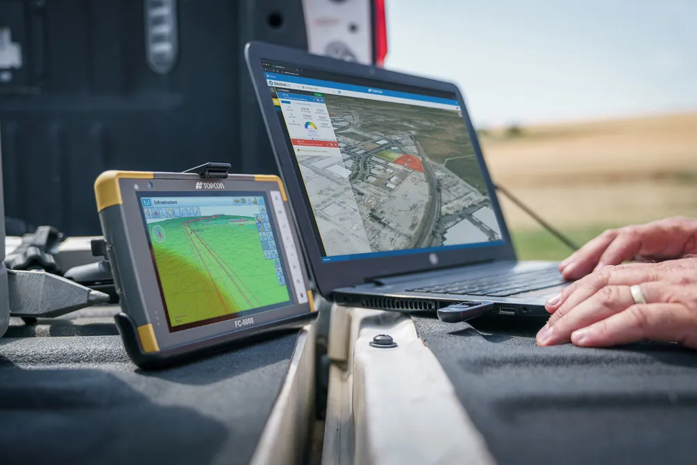
Improved construction software from Topcon

Topcon Positioning is introducing the latest version of its software package for construction and survey professionals: MAGNET 7.
June 22, 2021 Read time: 2 mins
Topcon is now offering its latest MAGNET 7 software package

The firm says that this package benefits from cloud-based connectivity for streamlining workflows through GNSS receivers, total stations, and other positioning tools and instruments. The company says that the new version of the software addresses needs to increase productivity, efficiency, and profitability levels across the jobsite spectrum. The software also improves accuracy while managing data and collaboration with the project team in real time.

Topcon says that the package comprises field software, cloud services, integrated office software and third-party integrations. Upgrades in the field version of the software improve 3D model support, reporting, and interactivity in working directly on a visual map. Additionally, there are improvements in data handling for large and complex 3D projects.

Productivity-driven features within the upgraded office solution include an ability to connect to the newest version of the Sitelink3D jobsite monitoring and management system. This enables office personnel to send machine models to machines onsite via the web portal. The new connection also allows access to the Haul Truck app, which improves efficiency in the mass haul environment by sending real-time data directly to the master schedule.

Additional benefits in the office include a new capability for calculating International Roughness Index (IRI) for resurfacing projects. For added efficiency, IRI data exports directly to ProVAL formats, commonly used in the paving industry, to report and validate road surface smoothness against guidelines set by government transportation departments. The package has improved terrain modeling capabilities for surveyors and an increase in file-type capabilities.

For more information on companies in this article

Related Content

  • Software innovations aid road design
    February 24, 2012
    As an aid to design, construction software continues to be a foundation stone in new project development. Autodesk is working with the Incheon Free Economic Zone (IFEZ) and the Incheon Urban Development Corporation (IUDC) to cooperate in the creation of Asia's first Digital City for Incheon.
  • Ontario opts for Power InRoads design tools
    June 12, 2012
    One of Canada's largest provinces, Ontario, has decided to go with the latest Power InRoads suite of design tools now being offered by Bentley Systems as a complete stand-alone version As well as the Inroads tools, that means Ontario's Ministry of Transportation will use drafting and document production by the MicroStation CAD tool, and mapping and GIS functionality from Bentley Map. It previously used InRoads for highways work but on an AutoCAD platform. The whole new package is also designed to work co
  • Topcon announces increased integration with Autodesk scanning software
    June 2, 2016
    Topcon Positioning Group has announced increased integration in the Autodesk and Topcon reality data workflow that it says is designed to increase project efficiency. Raw scan data from the Topcon GLS-2000 laser scanner can now be taken directly into Autodesk ReCap 360 and ReCap 360 Pro with no intermediate software conversion steps necessary. Topcon said that this integration is designed to streamline point cloud analysis to quickly identify conflicts, measure variations and make adjustments at vari